Weg over de Heide from Vaesrade is a climb in the region South Limburg. It is 0.6 km long and bridges 31 m of vertical ascent with an average gradient of 5.3%, resulting in a difficulty score of 25. The top of the ascent is located at 102 m above sea level. Climbfinder users shared 2 reviews of this climb and uploaded 13 photos.
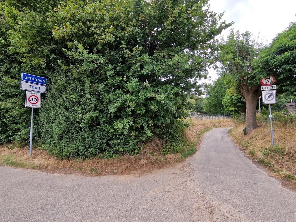
Road names: Thullerweg & Thull
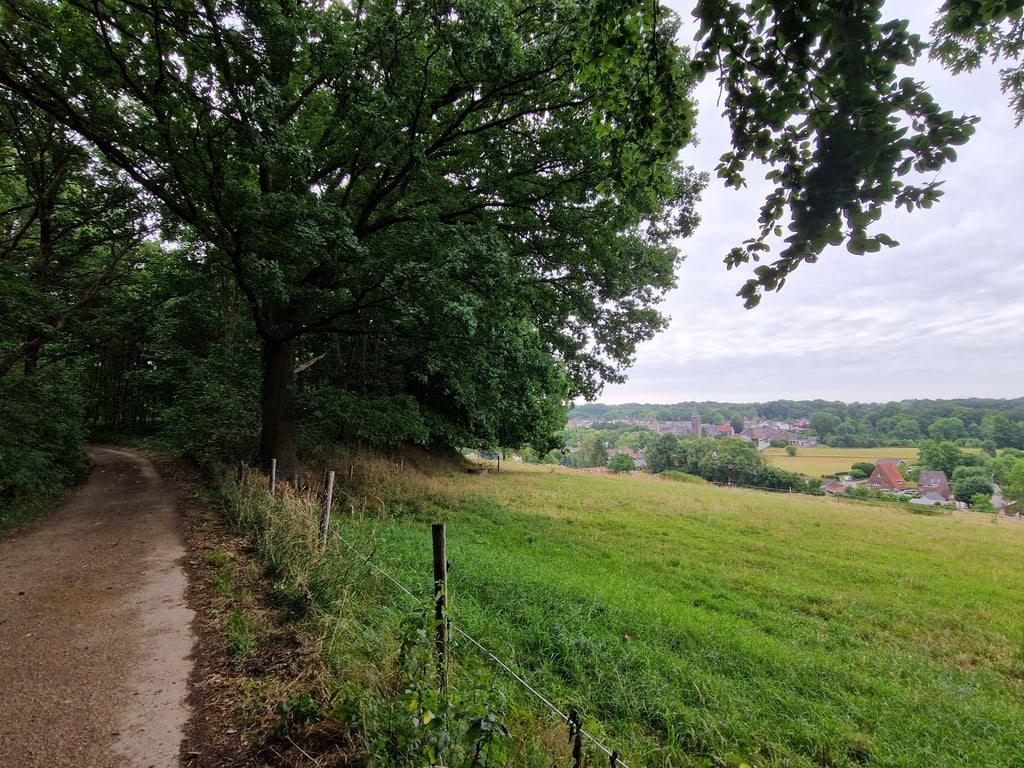
3.0 by JarinThis is an automatic translation, the original language is: Dutch.Nice climb but not really suitable for a road bike unless with wider cross tyres. I took this climb with a gravel bike. Nice quiet wooded area. Just before the top of the climb you have a nice view of Vaesrade on your right. Strangely, the road to the top is nicely paved.... read more

Welcome! Please activate your account if you would like to share something. Look for the verification email in your inbox.
If you want to upload your photos, you need to create an account. It only takes 1 minute and it's completely free.
Nice climb but not really suitable for a road bike unless with wider cross tyres. I took this climb with a gravel bike. Nice quiet wooded area. Just before the top of the climb you have a nice view of Vaesrade on your right. Strangely, the road to the top is nicely paved.
Mooie klim maar niet echt geschikt voor een racefiets, tenzij met bredere crossbanden. Ik heb deze klim met een gravelfiets genomen. Mooie rustige bosrijke omgeving. Net voor de top van de klim heb je aan je rechterhand een mooi uitzicht op Vaesrade. Vreemd genoeg is de weg naar de top mooi verhard.
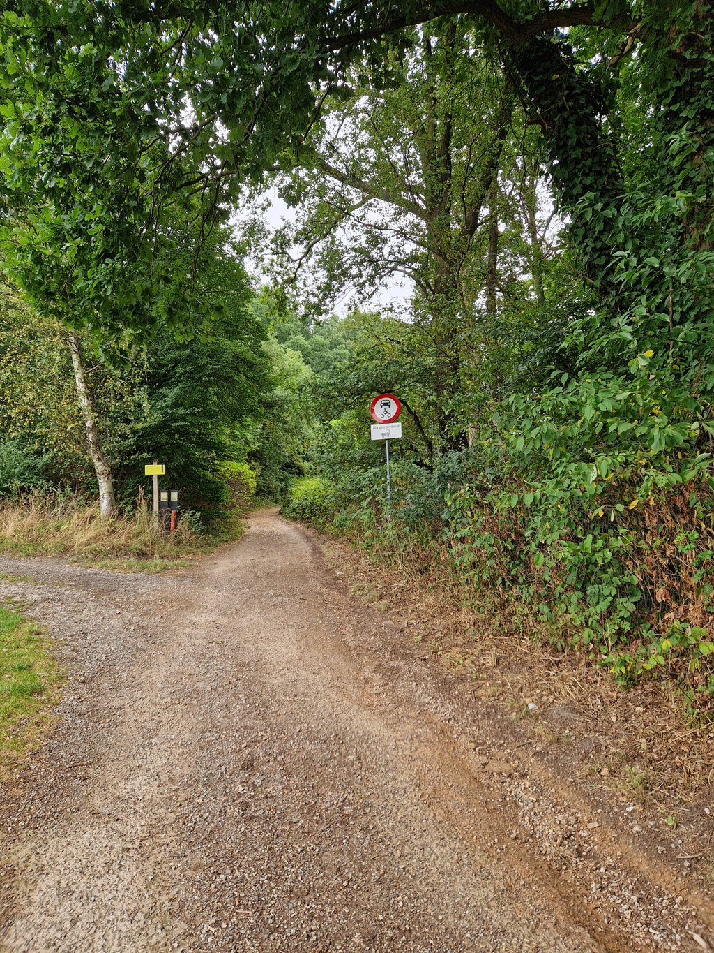
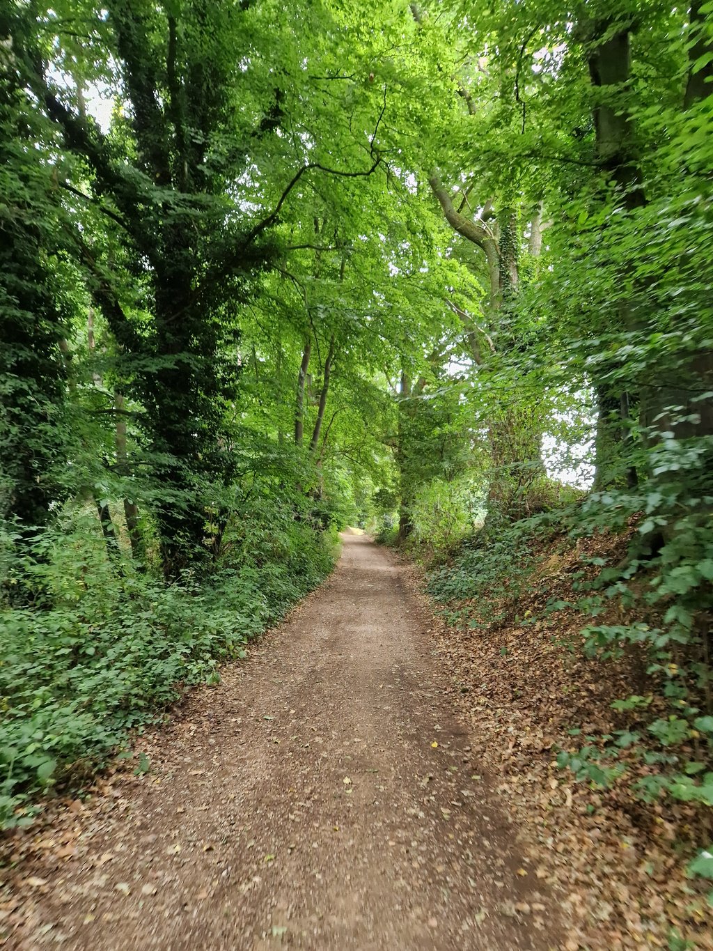
A nice and varied climb with a nice steep part in it. The first part is over the tarmac road to Thull which is already going up nicely. At the highest point (just before the town sign) you turn right into a very narrow asphalt road (prohibited for motorized traffic). After the house this becomes a gravel road but apart from the color you notice little difference because it is concrete hard and there are no loose stones on it (it is a lot coarser than asphalt). You keep further to the right while the road rises considerably. At the highest point, at the edge of the forest, you have beautiful views over Vaesrade. The road continues but becomes a bit more of a "normal" gravel road, although it remains rideable.
Een lekkere en gevarieerde klim met een mooi steil stukje er in. Het eerste deel is over de asfaltweg naar Thull wat al lekker omhoog loopt. Op het hoogste punt (net voor het plaatsnaambord) ga je rechtsaf een heel smal asfaltweggetje (verboden voor gemotoriseerd verkeer) in. Na het huis wordt dit een gravelweg maar op de kleur na merk je weinig verschil want het is betonhard en er liggen geen losse steentjes op (wel is het een stuk grover dan asfalt). Je houd verderop rechts aan terwijl de weg flink stijgt. Op het hoogste punt, bij de bosrand, heb je fraai uitzicht over Vaesrade. De weg loopt door maar wordt wel iets meer een "normale" gravelweg, al blijft deze goed berijdbaar.
| 7 km/h | 00:05:03 |
| 11 km/h | 00:03:13 |
| 15 km/h | 00:02:21 |
| 19 km/h | 00:01:51 |
This page is better in the app