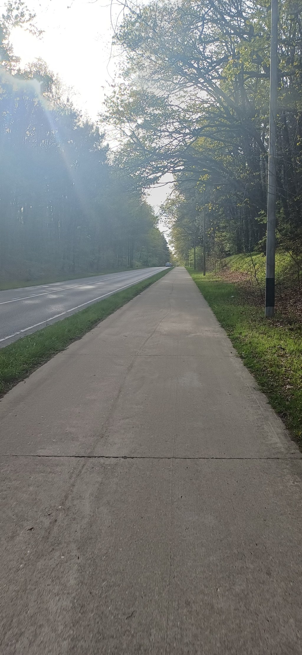
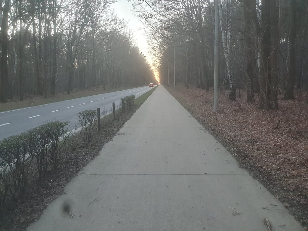
Weg naar Zwartberg is a climb in the region Kempens Plateau. It is 0.5 km long and bridges 11 m of vertical ascent with an average gradient of 2.1%, resulting in a difficulty score of 3. The top of the ascent is located at 80 m above sea level. Climbfinder users shared 1 review/story of this climb and uploaded 2 photos.
Road name: Weg naar Zwartberg
2.0 by depolleThis is an automatic translation, the original language is: Dutch.A dead straight easy climb on a busy connecting road that cuts the touristically very important Park Midden-Limburg in two, as it were, with Kelchterhoef and the Plas on one side and Hengelhoef and Bokrijk on the other.Because of its location in the green heart of Limburg, a surplus value, but as a climb, also because of the crowds, not immediately the most interesting slope in the area.... read more
Welcome! Please activate your account if you would like to share something. Look for the verification email in your inbox.
If you want to upload your photos, you need to create an account. It only takes 1 minute and it's completely free.
A dead straight easy climb on a busy connecting road that cuts the touristically very important Park Midden-Limburg in two, as it were, with Kelchterhoef and the Plas on one side and Hengelhoef and Bokrijk on the other.Because of its location in the green heart of Limburg, a surplus value, but as a climb, also because of the crowds, not immediately the most interesting slope in the area.
Een kaarsrechte makkelijke klim op een drukke verbindingsweg die als het ware het toeristisch gezien zeer belangrijke Park Midden-Limburg in twee snijdt met aan de ene kant de domeinen Kelchterhoef en de Plas en aan de andere kant Hengelhoef, Bokrijk en het prachtige heidegebied Ten Haagdoornheide.Omwille van de locatie in het groene hart van Limburg eventueel een meerwaarde maar als klim, ook door de drukte niet direct de meest interessante helling in de buurt.
| 7 km/h | 00:04:32 |
| 11 km/h | 00:02:53 |
| 15 km/h | 00:02:06 |
| 19 km/h | 00:01:40 |
This page is better in the app