| #17 most elevation gain of Hageland |
| #31 longest climb of Flemish Brabant |
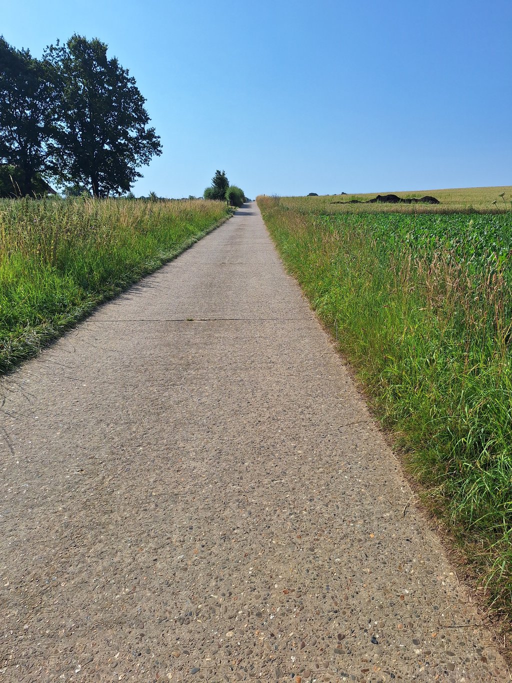
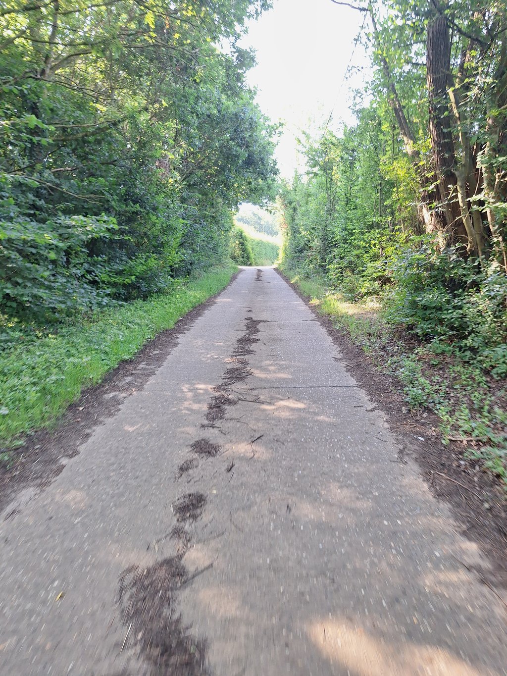
Wauwerdries & Grotendries is a climb in the region Hageland. It is 2.6 km long and bridges 50 m of vertical ascent with an average gradient of 1.9%, resulting in a difficulty score of 14. The top of the ascent is located at 87 m above sea level. Climbfinder users shared 3 reviews of this climb and uploaded 2 photos.
Road names: Tweevijverstraat, Kareelweg, Wauwerdries & Grotendries
4.0 by WouterThis is an automatic translation, the original language is: Dutch.Very nice area to drive up at leisure!... read more
Welcome! Please activate your account if you would like to share something. Look for the verification email in your inbox.
If you want to upload your photos, you need to create an account. It only takes 1 minute and it's completely free.
A very nice road because it is so quiet and still pure nature but you can hardly speak of a slope.
Nowhere steep but if you have the wind against you it can be quite disappointing but then rather by the wind than the altimeters.
Een hele leuke weg omdat het er zo rustig is en nog zuivere natuur maar van een helling kan je moeilijk spreken.
Nergens steil maar als je hier wind tegen hebt kan dit best tegenvallen maar dan eerder door de wind dan de hoogtemeters.
Very long and never steep but that is clear from the gradient above. Nice and quiet environment though, so close to two busy roads.
Heel lang en nooit steil maar dat is wel duidelijk aan het stijgingsprofiel hierboven. Wel mooie en rustige omgeving zo dichtbij twee drukke wegen.
| 7 km/h | 00:22:17 |
| 11 km/h | 00:14:10 |
| 15 km/h | 00:10:24 |
| 19 km/h | 00:08:12 |
This page is better in the app