Viale Europa is a climb in the region Varese. It is 0.9 km long and bridges 76 m of vertical ascent with an average gradient of 8.1%, resulting in a difficulty score of 67. The top of the ascent is located at 282 m above sea level. Climbfinder users shared 2 reviews of this climb and uploaded 2 photos.
This is an automatic translation, the original language is: Italian.
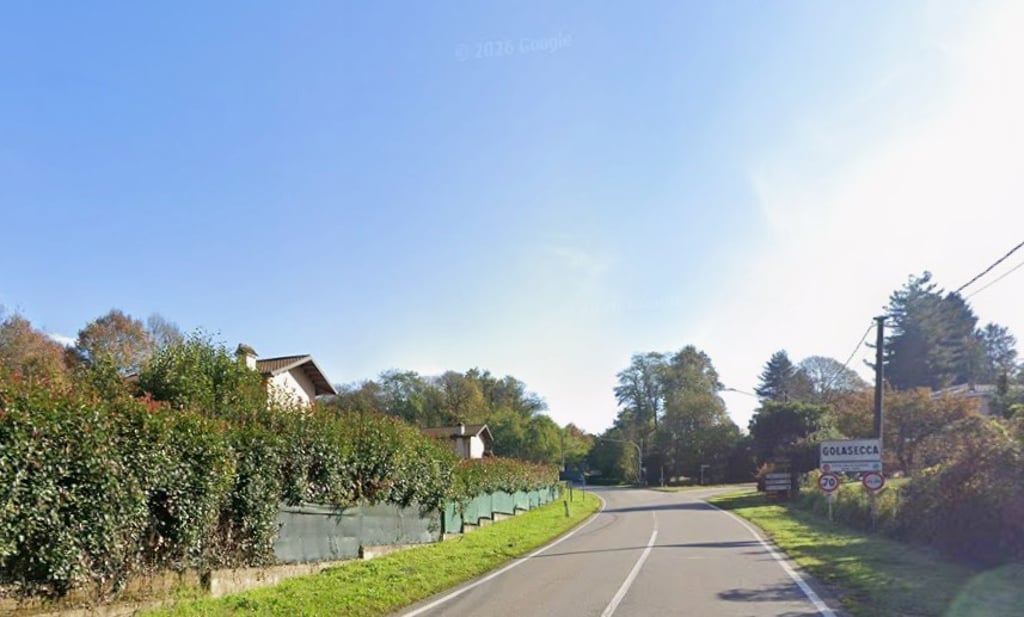
In the area between Sesto Calende and Golasecca along the towpath on the Ticino River, this is the climb that leads from the river to the village of Golasecca in one kilometre. It begins at the junction with the towpath on the Ticino River and ends at the roundabout that then leads to Somma, the centre of Golasecca and Sesona. The first section up to the left-hand bend is hard with gradients of around and perhaps over 10% before becoming more manageable in a short section up to the first right...read more
Photos (2)
Welcome! Please activate your account if you would like to share something. Look for the verification email in your inbox.
This is an automatic translation, the original language is: Italian.
Show original
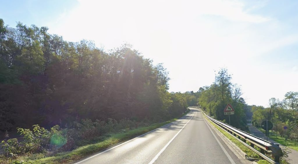
In the area between Sesto Calende and Golasecca along the towpath on the Ticino River, this is the climb that leads from the river to the village of Golasecca in one kilometre. It begins at the junction with the towpath on the Ticino River and ends at the roundabout that then leads to Somma, the centre of Golasecca and Sesona. The first section up to the left-hand bend is hard with gradients of around and perhaps over 10% before becoming more manageable in a short section up to the first right-hand fork for Gilasecca and then picking up again until the roundabout. If tackled at the end of a demanding roundabout it can become lethal precisely because it is exposed to the sun, on a busy provincial road and with demanding gradients. Done downhill, it easily allows speeds of over 70 km/h.
Nella zona tra Sesto Calende e Golasecca lungo la alzaia sul Fiume Ticino, è la salita che in un chilometro porta dal fiume al paese di Golasecca. Inizia al bivio con l'alzaia sul Ticino e termina alla rotonda che porta poi a Somma, al centro di Golasecca e a Sesona. Il primo tratto fino al curvone a sinistra è duro con pendenze attorno e forse oltre il 10% per poi diventare più gestibile in un breve tratto fino al primo bivio a dx per Gilasecca e per poi riprendere a tirare fino alla rotonda. Se affrontata al termine di un giro impegnativo può diventare letale proprio perché esposta al sole, su una strada provinciale trafficata e con pendenze impegnative. Fatta in discesa permette facilmente di raggiungere velocità anche over 70 km/h.
Share your knowledge. What was the road condition during your ascent?
Traffic
25% 50% 25%
Based on 4 votes
Your experience counts. How much traffic did you encounter during the climb?
Frequently Asked Questions
You don't need special gearing for Viale Europa. The slope isn't long or steep enough to require much shifting down. You can conquer this climb on power alone. However, a compact gearing system with a smallest front chainring of 34 and largest rear sprocket of 28 or 30 is always nice if you enjoy cycling uphill. This helps maintain a smooth cadence.
Viale Europa falls into the 5th category. With good fitness, you can ride it up with speed and power. If you have less training, shift down and climb smoothly.
Viale Europa is 0.9 km long.
The average gradient of Viale Europa is 8.1%.
Viale Europa has a steepest segment with an average gradient of 10.6%.
The summit of Viale Europa is at 282 m.
At a slow pace of 7 km/h, it takes about 00:08:04 to climb Viale Europa. At 11 km/h the time is 00:05:08, and at 15 km/h 00:03:46. For the fastest cyclists, 00:02:58 is an achievable time.
Viale Europa is located in the region Varese in Italy.


 Continue with Google
 Continue with Facebook
 Continue with Apple

