Via Paradiso from Vergiate is a climb in the region Varese. It is 0.3 km long and bridges 39 m of vertical ascent with an average gradient of 11.4%, resulting in a difficulty score of 51. The top of the ascent is located at 340 m above sea level. Climbfinder users shared 1 review/story of this climb and uploaded 3 photos.
Road name: Via Paradiso
3.0 by esseciThis is an automatic translation, the original language is: Italian.Upper Vergiate is home to some hidden gems for lovers of extreme gradients. You really have to go out of your way to find Via Paradiso, and it’s not easy if you’re not familiar with the area. The climb, taken in its entirety, forms a sort of loop, bringing you back halfway up through a very picturesque setting of villas and residences near the Capra Wood and Mount San Giacomo. A third of the way up, you can carry on straight ahead instead of turning left, reaching Via della Torre via a secti... read more
Welcome! Please activate your account if you would like to share something. Look for the verification email in your inbox.
If you want to upload your photos, you need to create an account. It only takes 1 minute and it's completely free.
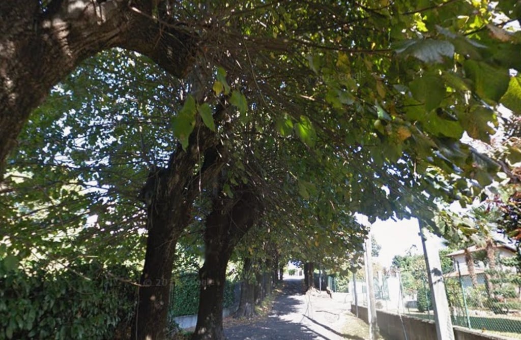
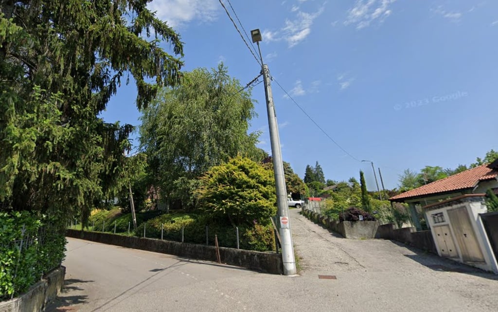
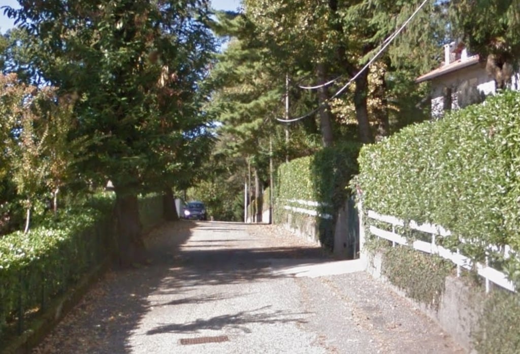
Upper Vergiate is home to some hidden gems for lovers of extreme gradients. You really have to go out of your way to find Via Paradiso, and it’s not easy if you’re not familiar with the area. The climb, taken in its entirety, forms a sort of loop, bringing you back halfway up through a very picturesque setting of villas and residences near the Capra Wood and Mount San Giacomo. A third of the way up, you can carry on straight ahead instead of turning left, reaching Via della Torre via a section that’s really tough but, fortunately, short. The gradients are steep, and it is the very first section that proves the most challenging: a narrow road flanked by two rows of trees, which makes passing any oncoming vehicles rather difficult.
Vergiate alta nasconde delle perle per gli amanti delle pendenze estreme. Via Paradiso bisogna proprio andarla a cercare, e non è facile se non si è pratici della zona. salita che nella sua interezza porta a percorre una sorta di anello per ritornare a metà salita in un conesto molto suggestivo di ville e residenze in prossimità del bosco di capra e del monte san giacomo. ad un terzo della salita è possibile proseguire dritto anziché svoltare a sx e raggiungere via della torre con un tratto veramente tosto ma fortunatamente breve. Le pendenze sono dure ed è proprio il primo tratto ad essere quello più ostico in una strada stretta tra due filari di piante che rendono l'eventuale incrocio con autoveicoli piuttosto difficoltoso.
| 7 km/h | 00:02:54 |
| 11 km/h | 00:01:51 |
| 15 km/h | 00:01:21 |
| 19 km/h | 00:01:04 |
This page is better in the app