View on map
© MapLibre | OpenStreetMap contributors
1%
2%
4%
6%
8%
10%
12%
15%
20%

Veerlepad

1.7
3 reviews | Elevation profile | 5 photos
Veerlepad
Veerlepad
Veerlepad
Veerlepad
Veerlepad
transparant thumb
transparant thumb
transparant thumb
Your achievable time
Calculating based on your best performances...
Relaxed
Maximum
W/kg
W/kg
W/kg
Analyse your climbing performance
Detailed insight into your climbing performance & automatically check off climbs
Based on your best performances.
Your best attempt:
Number of attempts:
Elevation profile Veerlepad

Statistics

Difficulty points 3
Length 2 km
Average gradient 1.1%
Steepest 100 metres 3.1%
Total ascent 21 m

Short recap

#52 toughest climb of Antwerp Province
#18 most elevation gain of Antwerp Province
#2 longest climb of Antwerp Province
#52 average steepest climb of Antwerp Province
Feedback about this climb?
Show climbs nearby Export to GPS device

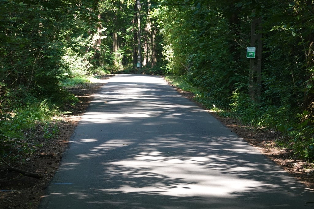
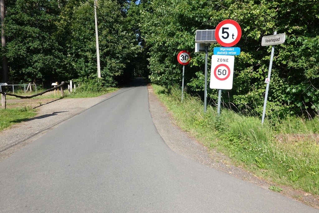
Veerlepad is a climb in the region Antwerp Province. It is 2 km long and bridges 21 m of vertical ascent with an average gradient of 1.1%, resulting in a difficulty score of 3. The top of the ascent is located at 37 m above sea level. Climbfinder users shared 3 reviews of this climb and uploaded 5 photos.

Road name: Veerlepad

2.0 by WouterDK
This is an automatic translation, the original language is: Dutch.
Runner through the forest. Simple straight ahead. Watch out for walkers who may cross the deg.... read more

Photos (5)

Veerlepad
Veerlepad
Veerlepad
Veerlepad
Veerlepad
transparant thumb

Your uploads (max 4)

Welcome! Please activate your account if you would like to share something. Look for the verification email in your inbox.

If you want to upload your photos, you need to create an account. It only takes 1 minute and it's completely free.

  • Receive free climbfinder goodies for your reviews & photos.
  • Create a bucket list and check off conquered climbs.
  • Add missing climbs.
Continue with GoogleContinue with Google Continue with FacebookContinue with Facebook Continue with AppleContinue with Apple Sign up with email
By signing up you agree to our terms of service and confirm that you have read our privacy & content policy.

Reviews (3)

5.0
4.0
3.0
2.0
1.0
WouterDK
2 w 2.0 via the Climbfinder app
This is an automatic translation, the original language is: Dutch. Show original

Runner through the forest. Simple straight ahead. Watch out for walkers who may cross the deg.

Loper door het bos. Simpel rechtdoor. Let op voor wandelaars die de deg kunnen kruisen.

Dashboard
Fedor
11 Mo 2.0
This is an automatic translation, the original language is: Dutch. Show original

Quite a nice little road like this through the forest and that is the only reason to do this one because in terms of climbing it is minimal. Only halfway up does it feel like you're on a slope (and because the road here is straight, you can see it too).

Best een mooi weggetje zo door het bos en dat is de enige reden om deze te doen want qua klimmen is het minimaal. Alleen halverwege heb je even het gevoel om op een helling te zitten (en omdat de weg hier recht is, zie je deze ook).

Veerlepad
Veerlepad
Veerlepad
Veerlepad
Dashboard
StevenVGH
3 y 1.0
This is an automatic translation, the original language is: Dutch. Show original

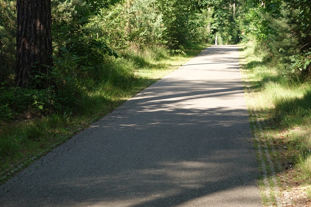
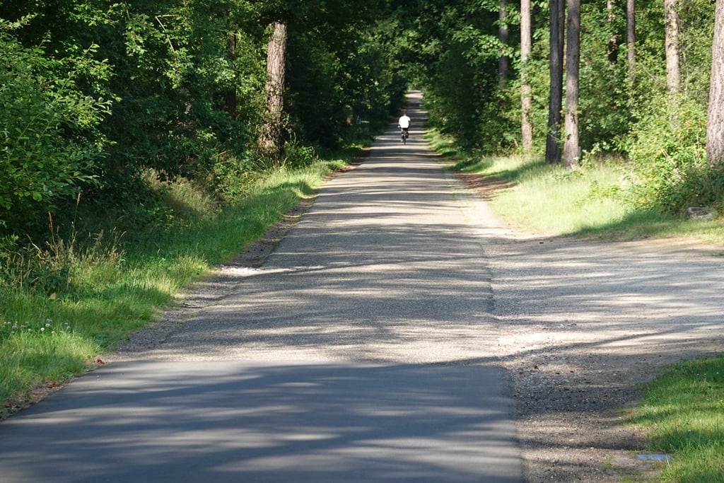
Very quiet stretch of valsplat between the trees, the road surface of which is occasionally of poor quality. A nice little road to use as a traffic-free connection.
There is nothing more to tell about it.

Zeer rustige strook valsplat tussen de bomen gelegen waarvan het wegdek af en toe van lagere kwaliteit is. Een fijn weggetje om als verkeersluwe verbinding te gebruiken.
Meer valt er niet over te vertellen.

Dashboard

Climbing times

7 km/h 00:17:09
11 km/h 00:10:54
15 km/h 00:08:00
19 km/h 00:06:19

Road surface condition

0% 100% 0%
Based on 2 votes
Share your knowledge. What was the road condition during your ascent?

Traffic

100% 0% 0%
Based on 2 votes
Your experience counts. How much traffic did you encounter during the climb?

Frequently Asked Questions

You don't need special gearing for Veerlepad. The slope isn't long or steep enough to require much shifting down. You can conquer this climb on power alone. However, a compact gearing system with a smallest front chainring of 34 and largest rear sprocket of 28 or 30 is always nice if you enjoy cycling uphill. This helps maintain a smooth cadence.

Veerlepad is not tough enough to be assigned a mountain category. This means that even untrained cyclists can reach the top without any problems on this climb.

Veerlepad is 2 km long.

The average gradient of Veerlepad is 1.1%.

Veerlepad has a steepest segment with an average gradient of 3.1%.

The summit of Veerlepad is at 37 m.

At a slow pace of 7 km/h, it takes about 00:17:09 to climb Veerlepad. At 11 km/h the time is 00:10:54, and at 15 km/h 00:08:00. For the fastest cyclists, 00:06:19 is an achievable time.

Veerlepad is located in the region Antwerp Province in Belgium.

This page is better in the app

Climbfinder app
Climbfinder
(Free)
Open