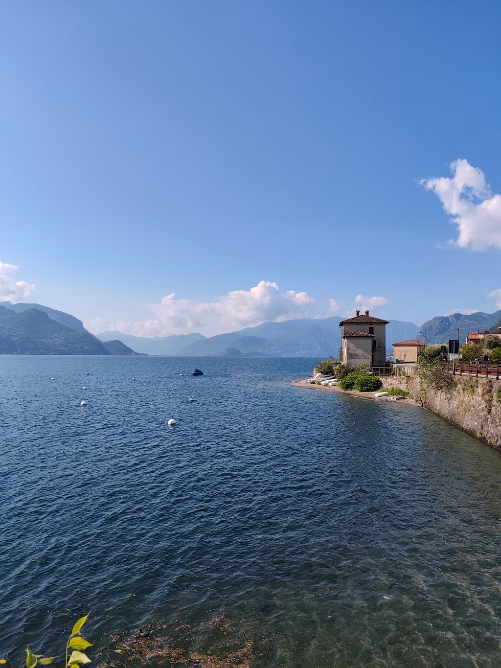
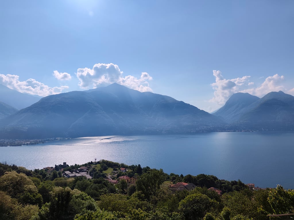
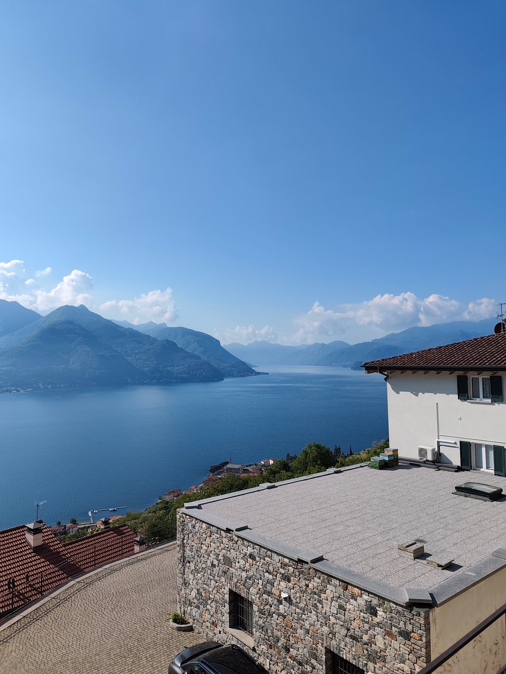
Valle di Giugallio from Rezzonico is a climb in the region Como. It is 9.3 km long and bridges 934 m of vertical ascent with an average gradient of 10.1%, resulting in a difficulty score of 1195. The top of the ascent is located at 1153 m above sea level. Climbfinder users shared 2 reviews of this climb and uploaded 6 photos.
Road name: Rezzonico - Gallio
3.0 by LouycraThis is an automatic translation, the original language is: French.A climb that's more to do for the challenge it represents than for the scenery it offers. The first 4 kilometres are a warm-up, the next 6 are a challenge, with an average gradient of 12%. At one point, the speedometer even reads 25%! The road is not very busy, but it is narrow and some motorists drive fast. The tarmac is of average quality but still doable on a road bike.... read more
Welcome! Please activate your account if you would like to share something. Look for the verification email in your inbox.
If you want to upload your photos, you need to create an account. It only takes 1 minute and it's completely free.
A climb that's more to do for the challenge it represents than for the scenery it offers. The first 4 kilometres are a warm-up, the next 6 are a challenge, with an average gradient of 12%. At one point, the speedometer even reads 25%! The road is not very busy, but it is narrow and some motorists drive fast. The tarmac is of average quality but still doable on a road bike.
Une ascension qui est plus à faire pour le challenge qu'elle représente que pour les paysages qu'elle offre. Les 4 premiers kilometres, c'est l'échauffement, les 6 suivants, c'est le défi, avec une pente moyenne de 12%. À un moment, le compteur affiche même 25% ! La route est peu fréquentée mais elle est étroite et certains automobilistes conduisent vite. Le bitume est de qualité moyenne mais reste faisable en vélo de route.
I have only ridden it up to the junction for the Monti di Treccione, so I don't know the last part, which from the altimetry seems very hard. However, I would like to point out that just before the junction for the Monti there is another stretch well over 20% (if I remember correctly, the sign indicated 25% and called it "Cavatappi" it is the hairpin bends just before Montuglio), a stretch that does not appear on the altimetry!
L'ho percorsa solo fino al bivio per i Monti di Treccione, quindi non conosco l'ultima parte, che dall'altimetria sembra durissima. Faccio però notare che poco prima del bivio per i Monti c'è un altro tratto ben oltre il 20% (se ben ricordo il cartello riportava il 25% e lo chiamava "Cavatappi": sono i tornantini appena prima di Montuglio), tratto che non appare sull'altimetria!
| 7 km/h | 01:19:21 |
| 11 km/h | 00:50:30 |
| 15 km/h | 00:37:02 |
| 19 km/h | 00:29:14 |
This page is better in the app