Loenermark / Valenberg is a climb in the region Veluwezoom. It is 1 km long and bridges 28 m of vertical ascent with an average gradient of 2.8%, resulting in a difficulty score of 10. The top of the ascent is located at 77 m above sea level. Climbfinder users shared 5 reviews of this climb and uploaded 10 photos.
This is an automatic translation, the original language is: Dutch.
Show original
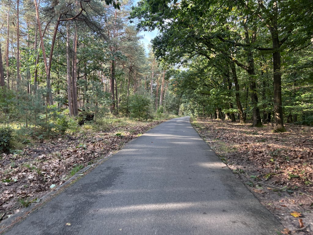
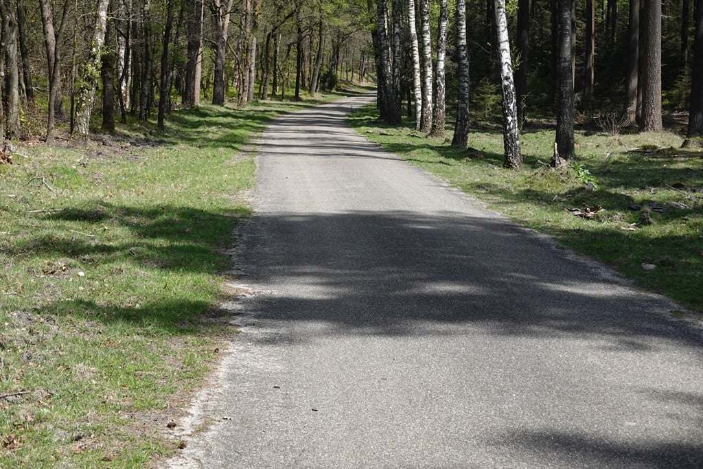
Short but relatively nice steep climb and over fine and car-free tarmac. Also a quiet little road moreover as the cycle route runs on the narrow and less steep gravel cycle path to the right of the road - where it can be quite busy and be careful with descending cyclists.
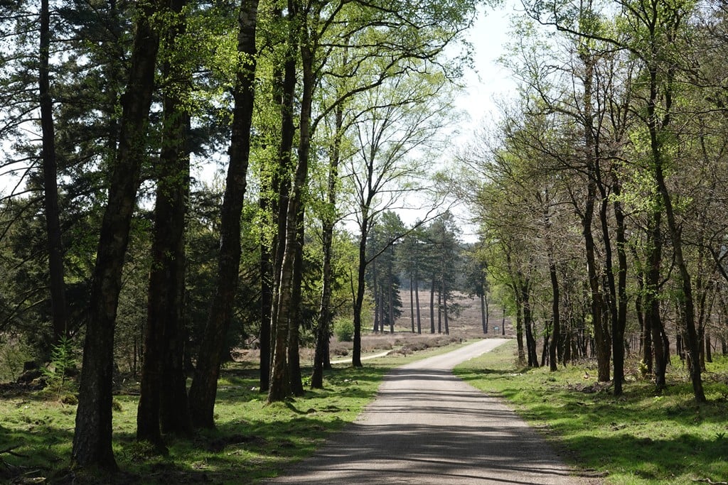
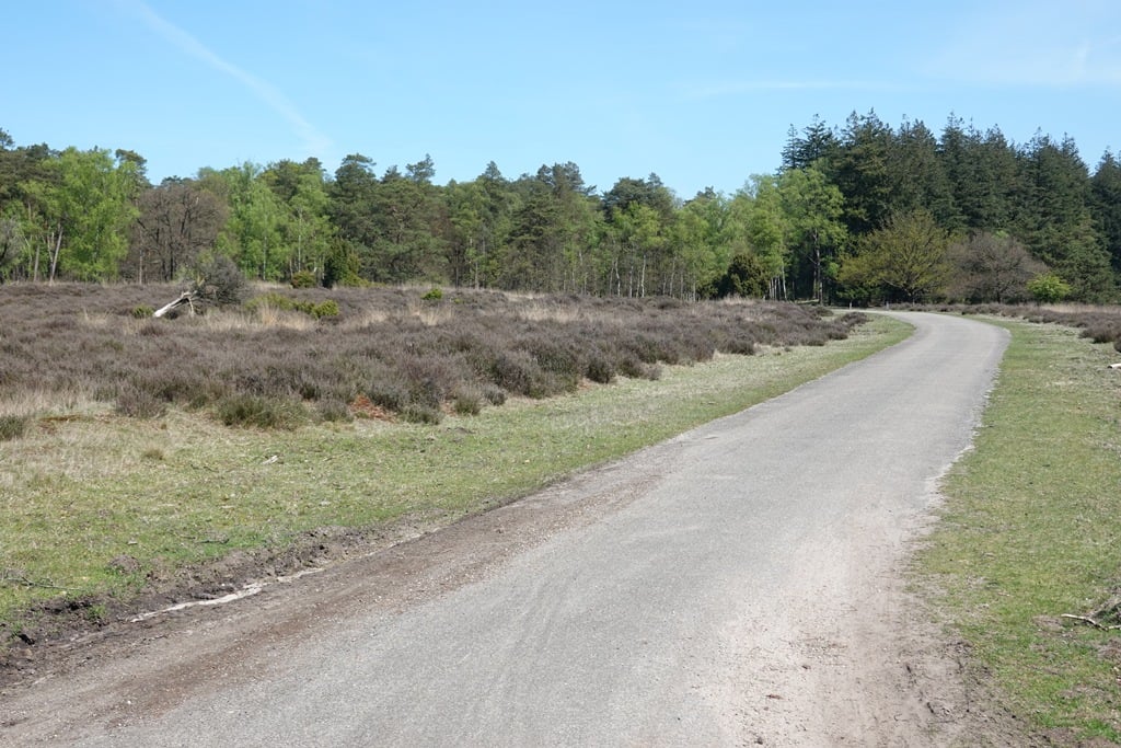
Beautiful moorland at the start. Then you enter the forest.
Kort maar relatief gezien lekker stevig klimmetje en over prima en autovrij asfalt. Ook een rustig weggetje bovendien want de fietsroute loopt over het smalle en minder steile gravelfietspad rechts van de weg - waar het flink druk kan zijn en het oppassen is met dalende fietsers.
Mooie heidegebied in het begin. Daarna ga je het bos in.
This is an automatic translation, the original language is: Dutch.
Show original
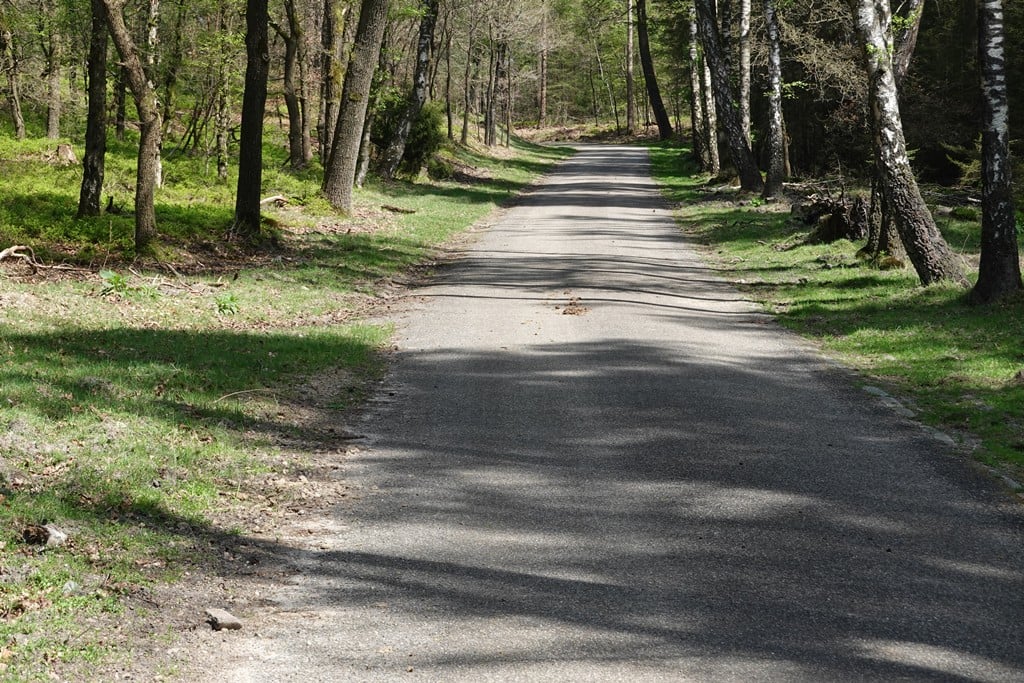
The Loenermark contains a number of nice climbs, and this is one of them. Less difficult than the famous sequence from the IJssel valley to Zoom, but much quieter. Beautiful area.
You can make the climb more difficult by taking the parallel cycle path instead of the paved road at the beginning. You then climb to the Valenberg and pick up extra altimeters.
In de Loenermark ligt een aantal leuke klimmetjes, en dit is er één van. Minder moeilijk dan de beroemde reeks vanuit het IJssel dal naar de Zoom, maar veel rustiger. Fraai gebied.
Je kunt het klimmetje moeilijker maken door in het begin het parallelle fietspad te nemen i.p.v. de verharde weg. Je klimt dan naar de Valenberg en pakt extra hoogtemeters mee.
This is an automatic translation, the original language is: Dutch.
Show original
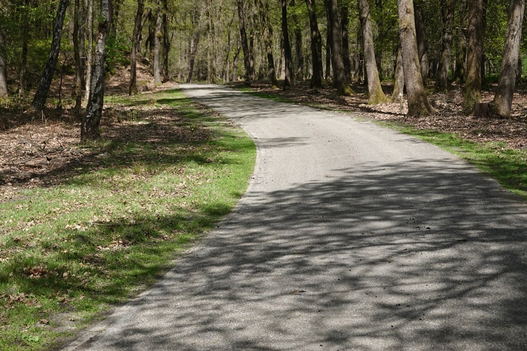
This is the southern and short version of the Stairs Mountain. While the northern approach is longer and more gradual, this climb is short and vicious. And as a pleasant side effect: car-free.
From the open heathlands of the Loenermark you'll soon see the climb. Follow the asphalted road and not the gravel bike path next to it. The whole climb is just over a kilometre and has a steepest part of a few hundred metres, which locally hits the 10% mark. On pure statistics, of course, this climb is not particularly impressive. But if you are in the neighbourhood, I would definitely take it up because of the beautiful landscape and the wonderfully quiet road.
Dit is de zuidelijke en korte variant van de Trapjesberg. Is de noordelijke aanloop langer en flauwer, deze klim is kort en venijnig. En als prettige bijkomstigheid: autovrij.
Vanaf de open heidevelden van de Loenermark zie je de klim al snel liggen. Volg vooral de geasfalteerde weg en niet het gravelfietspad dat ernaast ligt. De gehele klim is net een kilometer, en heeft een steilste stuk van een paarhonderd meter, dat plaatselijk de 10% even aantikt. Op pure statistieken is deze klim natuurlijk niet bijzonder imposant. Maar als je in de buurt bent, dan zou ik deze zeker even meepakken vanwege het prachtige landschap en de heerlijk rustige weg.
Share your knowledge. What was the road condition during your ascent?
Traffic
100% 0% 0%
Based on 5 votes
Your experience counts. How much traffic did you encounter during the climb?
Frequently Asked Questions
You don't need special gearing for Loenermark / Valenberg. The slope isn't long or steep enough to require much shifting down. You can conquer this climb on power alone. However, a compact gearing system with a smallest front chainring of 34 and largest rear sprocket of 28 or 30 is always nice if you enjoy cycling uphill. This helps maintain a smooth cadence.
Loenermark / Valenberg is not tough enough to be assigned a mountain category. This means that even untrained cyclists can reach the top without any problems on this climb.
Loenermark / Valenberg is 1 km long.
The average gradient of Loenermark / Valenberg is 2.8%.
Loenermark / Valenberg has a steepest segment with an average gradient of 5.8%.
The summit of Loenermark / Valenberg is at 77 m.
At a slow pace of 7 km/h, it takes about 00:08:33 to climb Loenermark / Valenberg. At 11 km/h the time is 00:05:26, and at 15 km/h 00:03:59. For the fastest cyclists, 00:03:09 is an achievable time.