View on map
© MapLibre | OpenStreetMap contributors
1%
2%
4%
6%
8%
10%
12%
15%
20%

Val Ferret from Courmayeur

4.5
2 reviews | Elevation profile | 2 photos
Tips nearby
Val Ferret from Courmayeur
transparant thumb
transparant thumb
transparant thumb
transparant thumb
transparant thumb
transparant thumb
Your achievable time
Calculating based on your best performances...
Relaxed
Maximum
W/kg
W/kg
W/kg
Analyse your climbing performance
Detailed insight into your climbing performance & automatically check off climbs
Based on your best performances.
Your best attempt:
Number of attempts:
Elevation profile Val Ferret from Courmayeur

Statistics

Difficulty points 391
Length 12.4 km
Average gradient 4.4%
Steepest 100 metres 14.2%
Total ascent 548 m

Short recap

Beautiful scenery
6 hairpin turns
#76 toughest climb of Aosta Valley
#68 most elevation gain of Aosta Valley
#38 longest climb of Aosta Valley
#90 average steepest climb of Aosta Valley
Feedback about this climb?
Show climbs nearby Export to GPS device

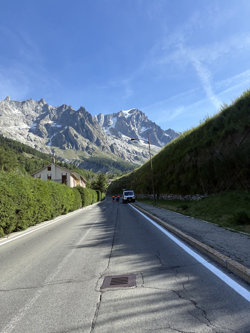
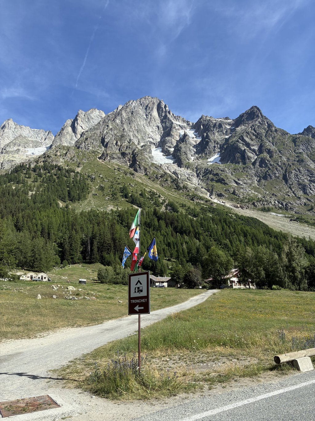
Val Ferret from Courmayeur is a climb in the region Aosta Valley. It is 12.4 km long and bridges 548 m of vertical ascent with an average gradient of 4.4%, resulting in a difficulty score of 391. The top of the ascent is located at 1770 m above sea level. Climbfinder users shared 2 reviews of this climb and uploaded 2 photos.

Road names: Strada La Palud & Strada della Val Ferret

5.0 by EmaAmo
This is an automatic translation, the original language is: Italian.
Cycling in the late afternoon in summer in the presence of the most fascinating giants of the Western Alps is priceless. Pleasant climb, without any particular difficulty. It is worth it for the panorama, which is immense.... read more

Photos (2)

Val Ferret from Courmayeur
transparant thumb
transparant thumb
transparant thumb
transparant thumb

Your uploads (max 4)

Welcome! Please activate your account if you would like to share something. Look for the verification email in your inbox.

If you want to upload your photos, you need to create an account. It only takes 1 minute and it's completely free.

  • Receive free climbfinder goodies for your reviews & photos
  • Create a bucket list and check off conquered climbs
  • Add missing climbs
Continue with GoogleContinue with Google Continue with FacebookContinue with Facebook Continue with AppleContinue with Apple Sign up with email
By signing up you agree to our terms of service and confirm that you have read our privacy & content policy.

Reviews (2)

5.0
4.0
3.0
2.0
1.0
Fedebici
4 d 4.0
This is an automatic translation, the original language is: Italian. Show original

I’m not giving it my all because the climb itself isn’t particularly memorable. The view, on the other hand, certainly is. You’re surrounded by the green valley, with the river running alongside the road. It starts off steeply, then there’s a slight incline all the way to the barrier. After the barrier, there are hairpin bends followed by a climb leading up to a dirt car park. There are drinking fountains along the valley and heavy traffic right up to the barrier. Beyond that, the only thing you’re likely to come across is the regular bus service.

Non do il massimo perché la salita in sé non è indimenticabile. Il panorama invece lo è. Si è immersi nella valle verde col fiume lungo la strada. Si parte in maniera decisa, poi un falsopiano fino alla sbarra. Dopo la sbarra i tornanti e poi una salita che porta fino ad un parcheggio sterrato. Fontanelle lungo la valle e traffico al massimo fino alla sbarra. Dopo la quale al massimo si incontra il bus di linea

Val Ferret from Courmayeur
Dashboard
EmaAmo
3 y 5.0
This is an automatic translation, the original language is: Italian. Show original

Cycling in the late afternoon in summer in the presence of the most fascinating giants of the Western Alps is priceless. Pleasant climb, without any particular difficulty. It is worth it for the panorama, which is immense.

Pedalare al tardo pomeriggio in estate al cospetto dei più affascinanti giganti delle Alpi Occidentali non ha prezzo. Salita gradevole, senza particolari difficoltà. Vale per il panorama, immenso.

Dashboard

Climbing times

7 km/h 01:46:09
11 km/h 01:07:33
15 km/h 00:49:32
19 km/h 00:39:06

Road surface condition

50% 50% 0%
Based on 6 votes
Share your knowledge. What was the road condition during your ascent?

Traffic

40% 60% 0%
Based on 5 votes
Your experience counts. How much traffic did you encounter during the climb?

Frequently Asked Questions

You don't need special gearing for Val Ferret from Courmayeur. The slope isn't long or steep enough to require much shifting down. You can conquer this climb on power alone. However, a compact gearing system with a smallest front chainring of 34 and largest rear sprocket of 28 or 30 is always nice if you enjoy cycling uphill. This helps maintain a smooth cadence.

Val Ferret from Courmayeur is a serious climb and falls into the 2nd category. With a good basic fitness level, even without much cycling experience, you can complete this climb just fine. However, a bike with climbing gears is a must. Without experience or training, it will be really tough – but that’s part of the challenge!

Val Ferret from Courmayeur is 12.4 km long.

The average gradient of Val Ferret from Courmayeur is 4.4%.

Val Ferret from Courmayeur has a steepest segment with an average gradient of 14.2%.

The summit of Val Ferret from Courmayeur is at 1770 m.

At a slow pace of 7 km/h, it takes about 01:46:09 to climb Val Ferret from Courmayeur. At 11 km/h the time is 01:07:33, and at 15 km/h 00:49:32. For the fastest cyclists, 00:39:06 is an achievable time.

Val Ferret from Courmayeur is located in the region Aosta Valley in Italy.

This page is better in the app

Climbfinder app
Climbfinder
(Free)
Open