| 1 hairpin turn |
| #74 toughest climb of Luxembourg |
| #89 most elevation gain of Luxembourgian Ardennes |
| #71 longest climb of Nature Park Our |
| #68 average steepest climb of Nature Park Our |
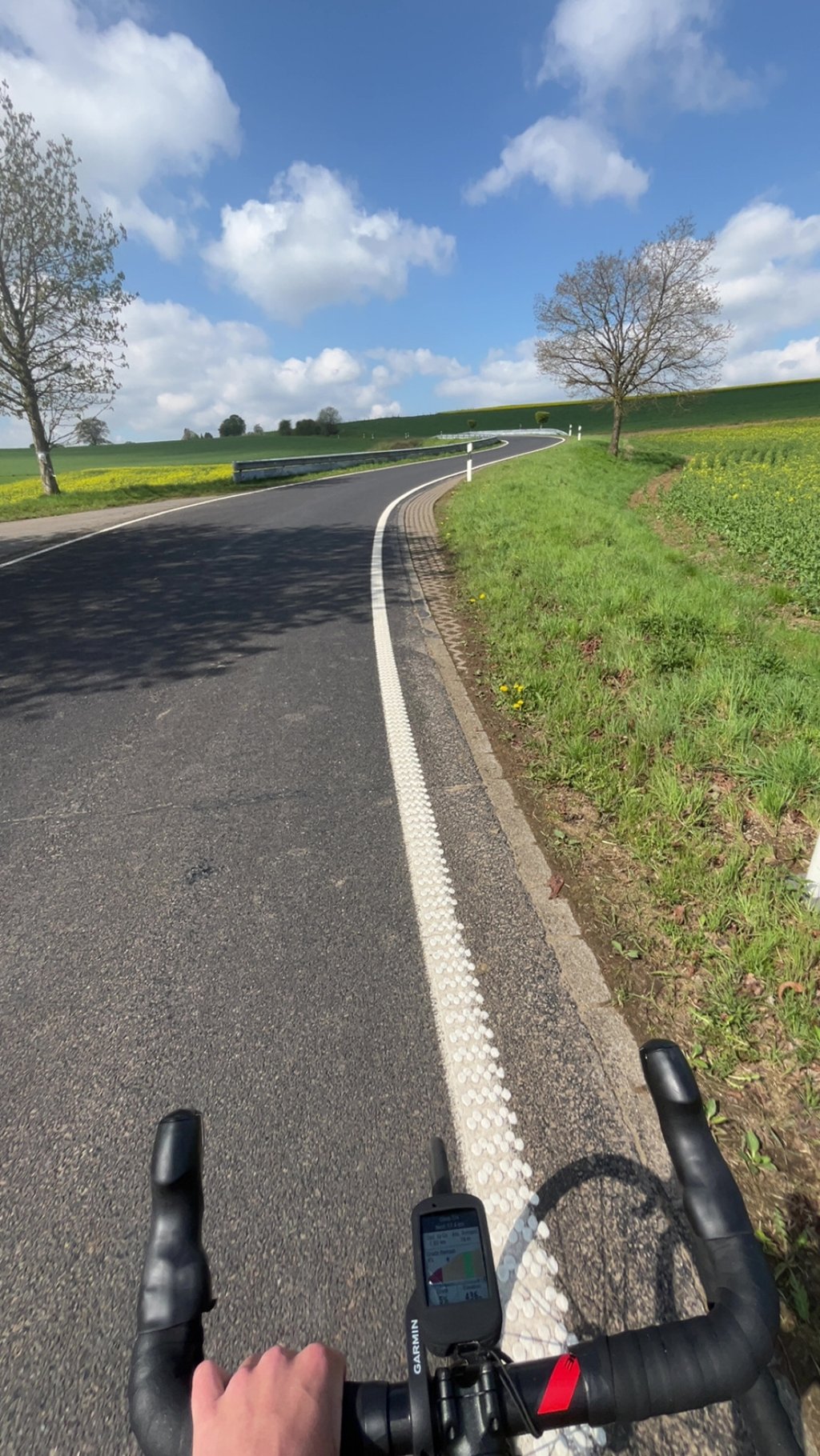
Trois Frontières via Lieler is a climb in the region Nature Park Our. It is 2.9 km long and bridges 189 m of vertical ascent with an average gradient of 6.4%, resulting in a difficulty score of 159. The top of the ascent is located at 507 m above sea level. Climbfinder users shared 3 reviews of this climb and uploaded 10 photos.
Road name: Hauptstrooss (CR338)
4.0 by RJG18This beautiful climb starts steep but gradually becomes easier. After a short descent in Lierer you start with the last part of the climb.... read more

Welcome! Please activate your account if you would like to share something. Look for the verification email in your inbox.
If you want to upload your photos, you need to create an account. It only takes 1 minute and it's completely free.
This beautiful climb starts steep but gradually becomes easier. After a short descent in Lierer you start with the last part of the climb.
From the monuments at the triple-border point, a wonderfully winding road goes up nicely briskly, first through the forest with occasional views and then into open terrain. In the village, it flattens out for a while before climbing back up to the end point, just before leaving the village. Beautiful tarmac.
Vanaf de monumenten bij het drielandenpunt gaat een heerlijk slingerende weg lekker stevig omhoog, eerst door het bos met zo nu en dan uitzicht en dan het open terrein in. In het dorp even wat vlakker waarna het weer oploopt naar het eindpunt, vlak voordat je het dorp weer uitrijdt. Prachtig asfalt.
Very beautiful area for cycling! The climb starts at the Europa monument, close to the Three Country Point (Belgium, Germany, Luxembourg). The first kilometre of the climb is challenging and winds up nicely on a good road surface. Once you get past that, it flattens out a bit and you ride towards the village of Lieler. The scenery becomes more open and the climbing less challenging.
Erg mooi gebied om te fietsen! De beklimming start bij het Europamonument, dichtbij het Drielandenpunt (België, Duitsland, Luxemburg). De eerste kilometer van de klim is uitdagend en slingert mooi omhoog over een goed wegdek. Als je die achter de rug hebt vlakt het wat af en rijd je richting het dorpje Lieler. De omgeving wordt meer open en het klimmen minder zwaar.
| 7 km/h | 00:25:10 |
| 11 km/h | 00:16:01 |
| 15 km/h | 00:11:45 |
| 19 km/h | 00:09:16 |
This page is better in the app