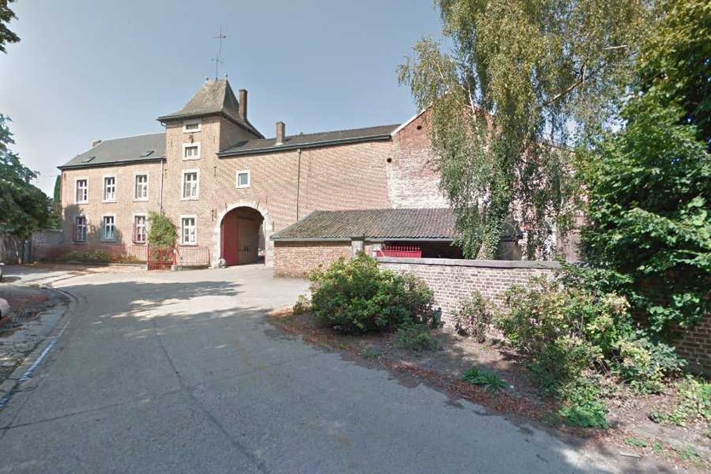
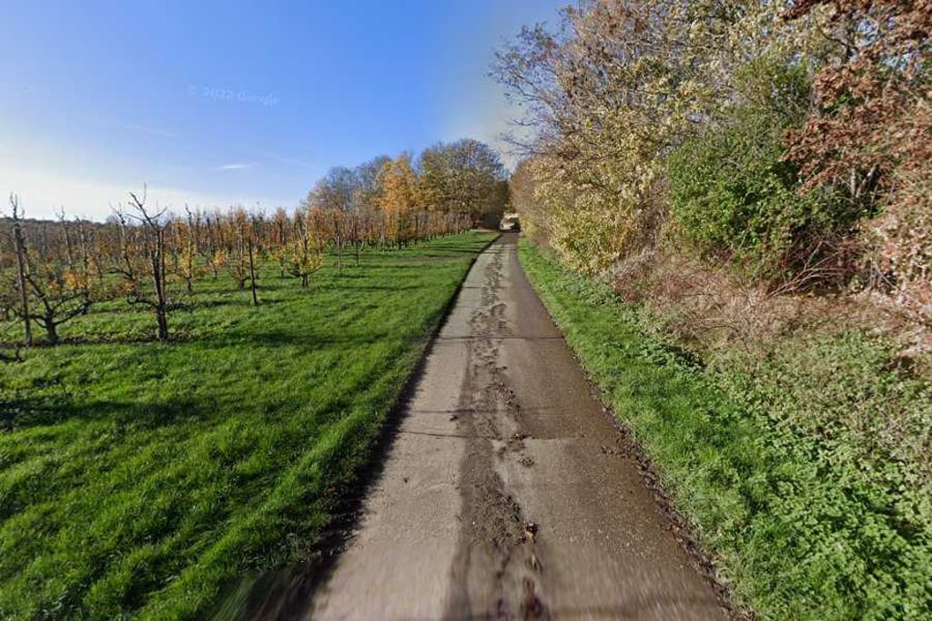
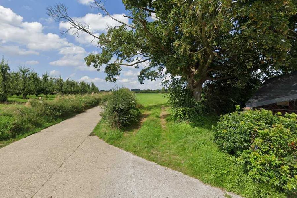
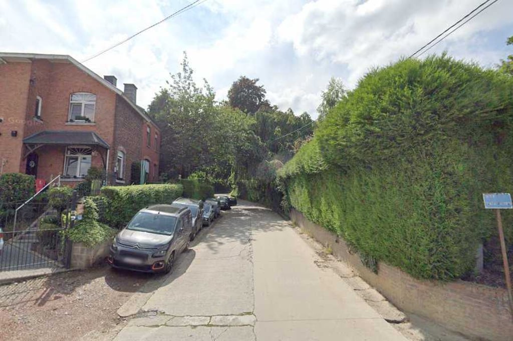
Tilice from Hermée is a climb in the region Haspengouw. It is 2.1 km long and bridges 50 m of vertical ascent with an average gradient of 2.3%, resulting in a difficulty score of 20. The top of the ascent is located at 166 m above sea level. Climbfinder users shared 1 review/story of this climb and uploaded 4 photos.
Road names: Chemin de Tilice & Chemin du Fond d’Asse
3.0 by BikerJohanThis is an automatic translation, the original language is: Dutch.The climb starts in the centre of Hermée and varies considerably in terms of gradients. First a few hundred metres up slightly. Then a few hundred metres downhill. Then a few hundred metres of false flat before you start the steepest 300 metres of the climb. Then it flattens out until the top just before the motorway.... read more
Welcome! Please activate your account if you would like to share something. Look for the verification email in your inbox.
If you want to upload your photos, you need to create an account. It only takes 1 minute and it's completely free.
The climb starts in the centre of Hermée and varies considerably in terms of gradients. First a few hundred metres up slightly. Then a few hundred metres downhill. Then a few hundred metres of false flat before you start the steepest 300 metres of the climb. Then it flattens out until the top just before the motorway.
De klim start in het centrum van Hermée en wisselt behoorlijk v.w.b. de stijgingspercentages. Eerst een paar honderd meter licht omhoog. Dan een paar honderd meter dalen. Vervolgens een paar honderd meter vals plat voordat je aan de steilste 300 meter van de klim begint. Daarna vlakt het tot de top vlak voor de autosnelweg af..
| 7 km/h | 00:18:23 |
| 11 km/h | 00:11:42 |
| 15 km/h | 00:08:35 |
| 19 km/h | 00:06:46 |
This page is better in the app