| Hidden gem |
| #47 toughest climb of Walloon Brabant |
| #58 average steepest climb of Belgium |
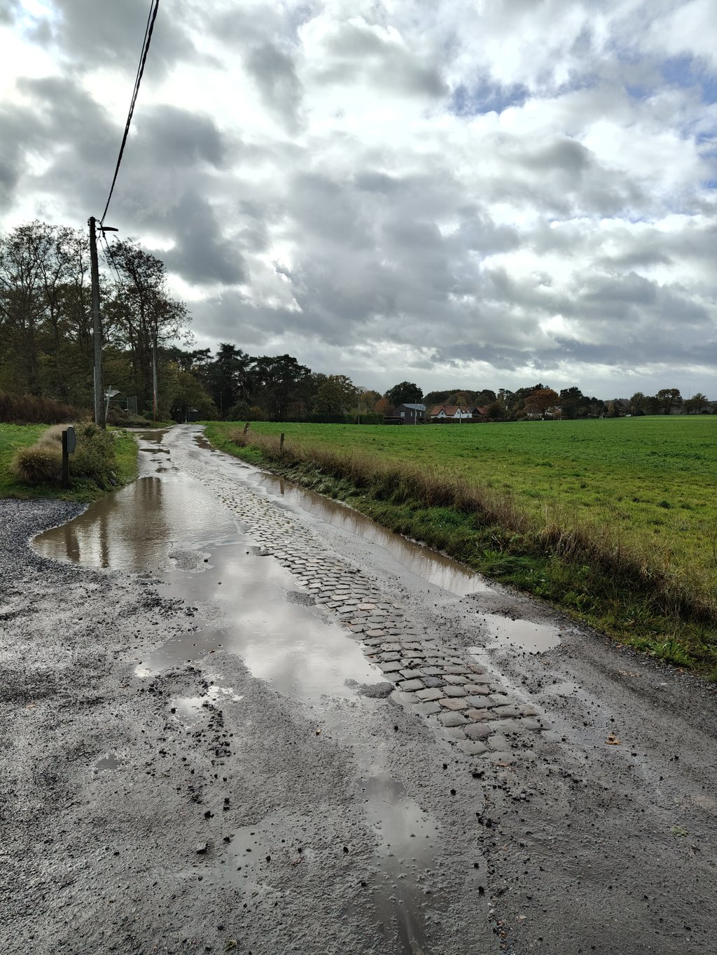
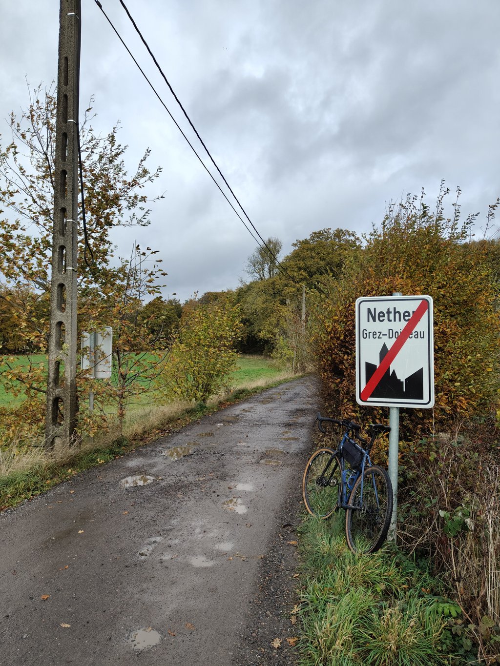
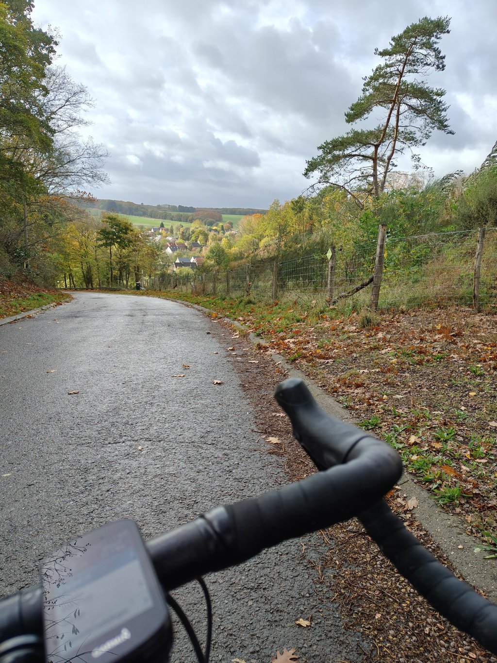
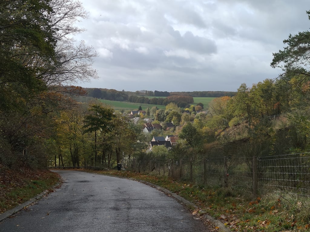
Tienne Vincent from Nethen is a climb in the region Ardennes Brabançonnes. It is 0.3 km long and bridges 35 m of vertical ascent with an average gradient of 11.7%, resulting in a difficulty score of 49. The top of the ascent is located at 78 m above sea level. Climbfinder users shared 5 reviews of this climb and uploaded 5 photos.
Road name: Tienne Vincent
2.0 by JohanRThis is an automatic translation, the original language is: Dutch.I sometimes take these in when I do a round of Bauvechain. Takes some pushing. The descent is indeed very tricky. Also because it descends steeply at the end and you have to hit the brakes because you end up on the main road.... read more
Welcome! Please activate your account if you would like to share something. Look for the verification email in your inbox.
If you want to upload your photos, you need to create an account. It only takes 1 minute and it's completely free.
I sometimes take these in when I do a round of Bauvechain. Takes some pushing. The descent is indeed very tricky. Also because it descends steeply at the end and you have to hit the brakes because you end up on the main road.
Ik neem deze er soms bij als ik een rondje Bauvechain doe. Is wel even flink doorduwen. De afdaling is inderdaad oppassen geblazen. Ook omdat het steil daalt op het einde, en je dan vol in de remmen moet omdat je uitkomt op de grote(re) baan.
Very short and quite steep. Just turn on, this in itself anyone can do. Descending through the residential area is not really a treat, one car and the hollow is occupied.
Heel kort en vrij steil. Gewoon aanzetten, dit kan op zich iedereen. Afdaling door de woonwijk is niet echt een feest, een auto en de holleweg is bezet.
A very short but particularly brutal climb, particularly suitable for puncheurs. It links up very well with the rue de Pécrot, if you then continue towards Beauvechain. Shortly after the summit of the Tienne, turn right and descend (carefully) along rue Bruyère du Wez: continuing straight on would require a gravel bike or mountain bike...
Ascension très courte mais particulièrement brutale, convenant particulièrement bien aux puncheurs. S'enchaîne fort bien avec la rue de Pécrot, si on poursuit ensuite vers Beauvechain. Peu après le sommet du Tienne, tourner à droite et descendre (prudemment) par la rue Bruyère du Wez : poursuivre tout droit nécessiterait en effet, plus loin, un vélo gravel ou un VTT…
Nice climb, quiet, short and steep. For cyclists, the road only dead ends. You must then return through the residential area and that is a steep and cluttered descent. Or you go of course the same way back, which is perhaps better
Mooie beklimming, rustig, kort en steil. Voor wielrenners loopt de weg alleen dood. Je moet dan via de woonwijk terug en dat is een steil en onoverzichtelijk afdaling. Of je gaat natuurlijk dezelfde weg weer terug, wat misschien wel beter is
Statistics make it a tough slope, but it's not that bad.
Remains steep slope, but very short. You're up before you know it.
Statistieken maken er een lastige helling van, maar valt goed mee.
Blijft steile helling, maar heel kort. Je bent boven vooraleer je het weet.
| 7 km/h | 00:02:33 |
| 11 km/h | 00:01:37 |
| 15 km/h | 00:01:11 |
| 19 km/h | 00:00:56 |
This page is better in the app