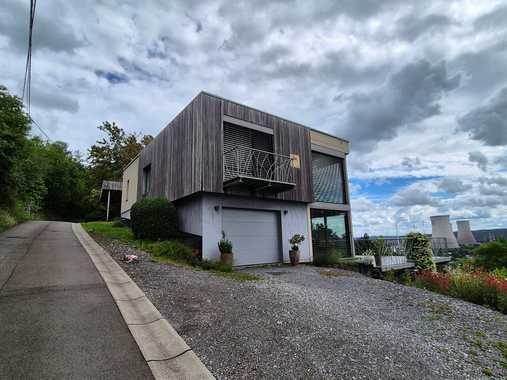
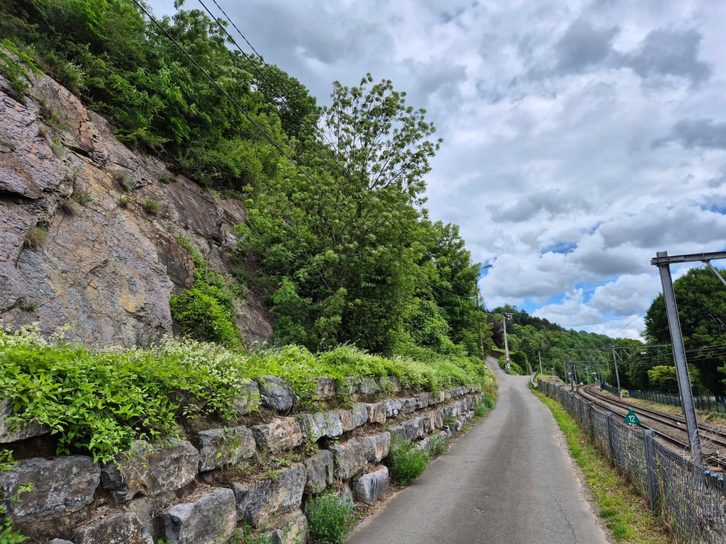
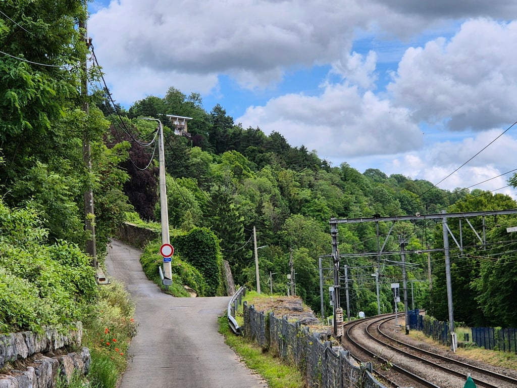
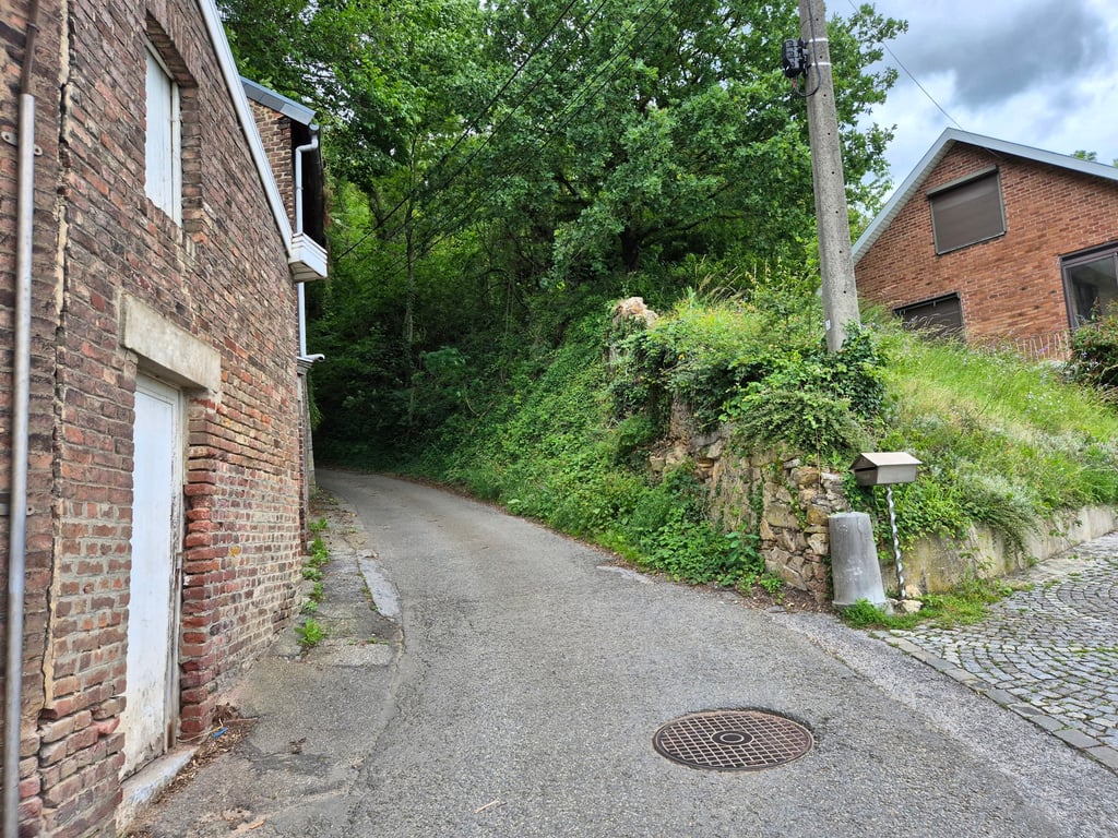
Thier des Malades is a climb in the region Vallées de la Burdinale et de la Mehaigne. It is 0.7 km long and bridges 61 m of vertical ascent with an average gradient of 8.6%, resulting in a difficulty score of 62. The top of the ascent is located at 143 m above sea level. Climbfinder users shared 2 reviews of this climb and uploaded 9 photos.
This is an automatic translation, the original language is: French.
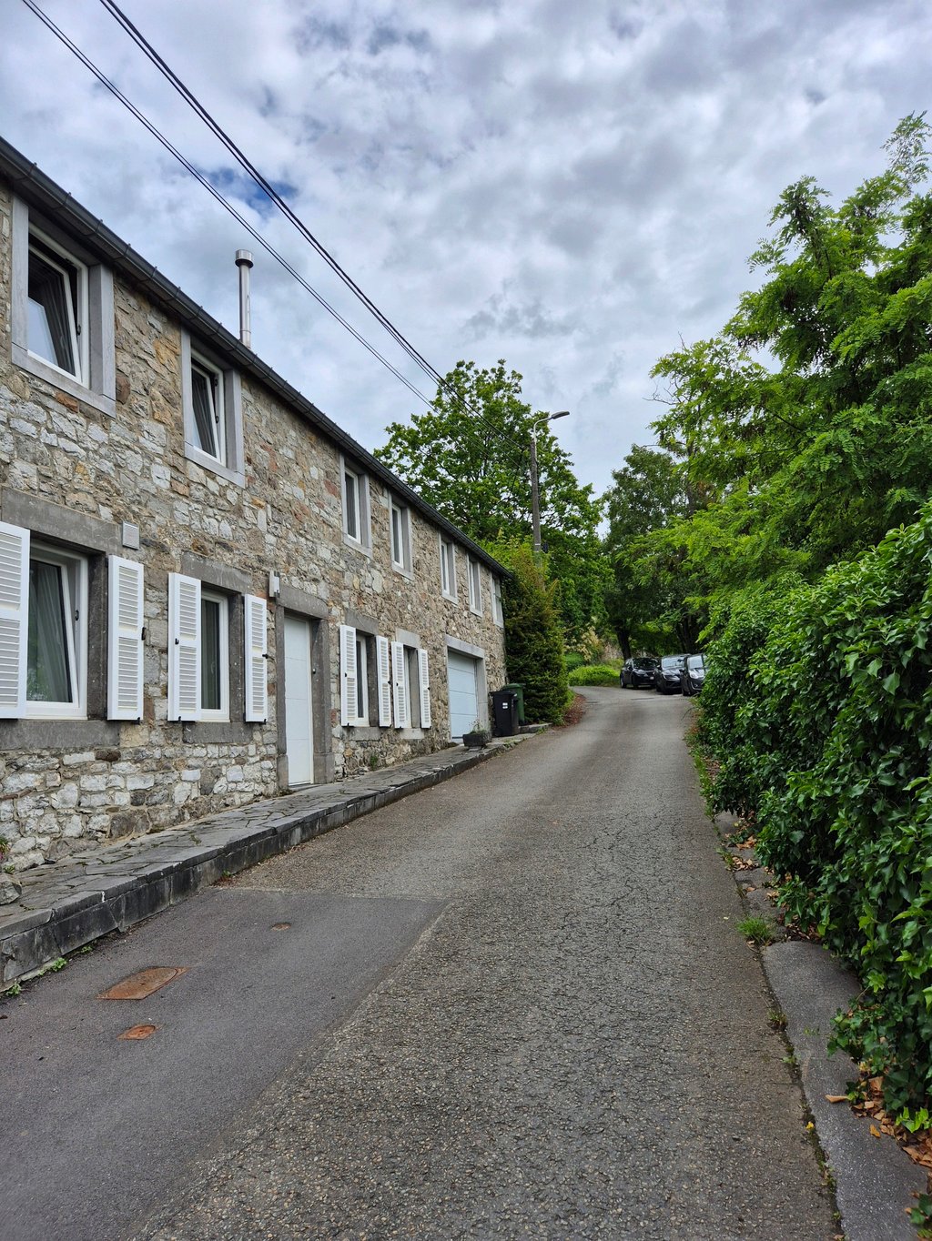
Very narrow and steep climb to get out of Huy other than on the national road, not a very good road at the beginning but afterwards it's like everywhere else in the region, here's the video of the climb https://youtu.be/efVs9dx3OdY...read more
Photos (9)
Welcome! Please activate your account if you would like to share something. Look for the verification email in your inbox.
This is an automatic translation, the original language is: French.
Show original
Very narrow and steep climb to get out of Huy other than on the national road, not a very good road at the beginning but afterwards it's like everywhere else in the region, here's the video of the climb https://youtu.be/efVs9dx3OdY
Montée très étroite et raide pour sortir de Huy autrement que part la route national , route pas très bonne sur le début mais après c'est comme partout dans la région , voici la vidéo de la montée https://youtu.be/efVs9dx3OdY
This is an automatic translation, the original language is: Dutch.
Show original
I myself became a bit maladjusted by how narrow, steep and irregular this climb is. Fun to do as an alternative to the main road, though very poor road surface along its entire length.
Ik werd zelf een beetje malade van hoe smal, steil en onregelmatig deze klim is. Leuk om te doen als alternatief voor de grote weg, wel zeer slecht wegdek over de gehele lengte.
Share your knowledge. What was the road condition during your ascent?
Traffic
100% 0% 0%
Based on 2 votes
Your experience counts. How much traffic did you encounter during the climb?
Frequently Asked Questions
You don't need special gearing for Thier des Malades. The slope isn't long or steep enough to require much shifting down. You can conquer this climb on power alone. However, a compact gearing system with a smallest front chainring of 34 and largest rear sprocket of 28 or 30 is always nice if you enjoy cycling uphill. This helps maintain a smooth cadence.
Thier des Malades falls into the 5th category. With good fitness, you can ride it up with speed and power. If you have less training, shift down and climb smoothly.
Thier des Malades is 0.7 km long.
The average gradient of Thier des Malades is 8.6%.
Thier des Malades has a steepest segment with an average gradient of 16.3%.
The summit of Thier des Malades is at 143 m.
At a slow pace of 7 km/h, it takes about 00:06:06 to climb Thier des Malades. At 11 km/h the time is 00:03:53, and at 15 km/h 00:02:50. For the fastest cyclists, 00:02:14 is an achievable time.