View on map
© MapLibre | OpenStreetMap contributors
1%
2%
4%
6%
8%
10%
12%
15%
20%

Thier de l’Abbaye

3.0
1 review/story | Elevation profile | 4 photos
Tips nearby
Thier de l’Abbaye
Thier de l’Abbaye
Thier de l’Abbaye
Thier de l’Abbaye
transparant thumb
transparant thumb
transparant thumb
transparant thumb
Your achievable time
Calculating based on your best performances...
Relaxed
Maximum
W/kg
W/kg
W/kg
Analyse your climbing performance
Detailed insight into your climbing performance & automatically check off climbs
Based on your best performances.
Your best attempt:
Number of attempts:
Elevation profile Thier de l’Abbaye

Statistics

Difficulty points 14
Length 0.7 km
Average gradient 4.3%
Steepest 100 metres 7.2%
Total ascent 28 m
Feedback about this climb?
Show climbs nearby Export to GPS device

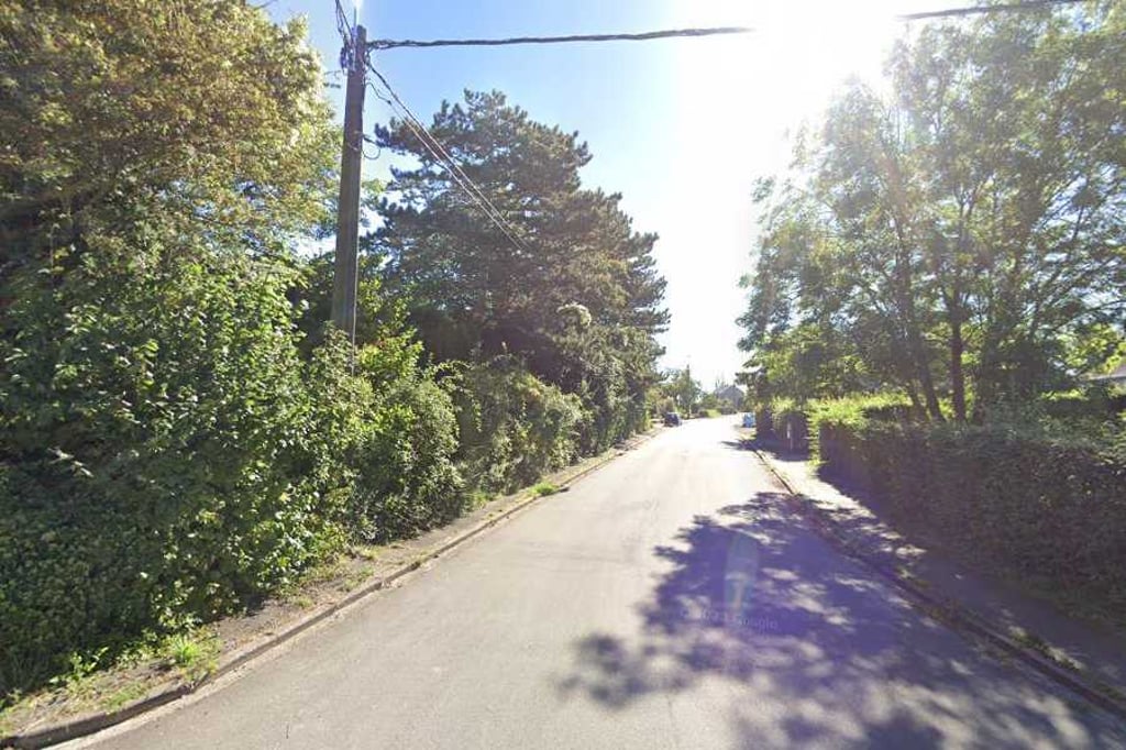
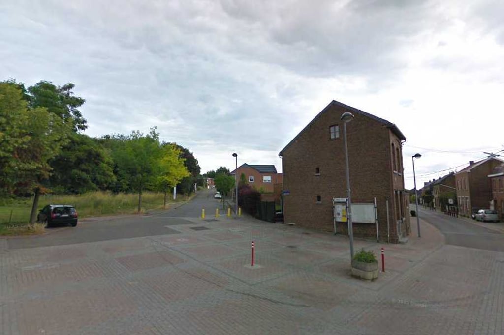
Thier de l’Abbaye is a climb in the region Haspengouw. It is 0.7 km long and bridges 28 m of vertical ascent with an average gradient of 4.3%, resulting in a difficulty score of 14. The top of the ascent is located at 121 m above sea level. Climbfinder users shared 1 review/story of this climb and uploaded 4 photos.

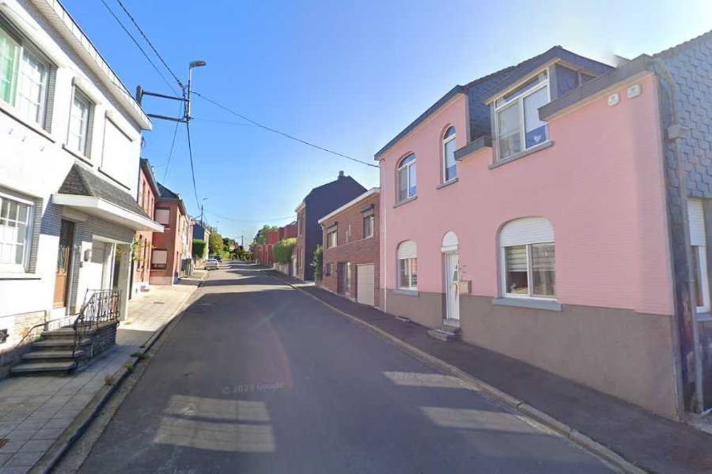
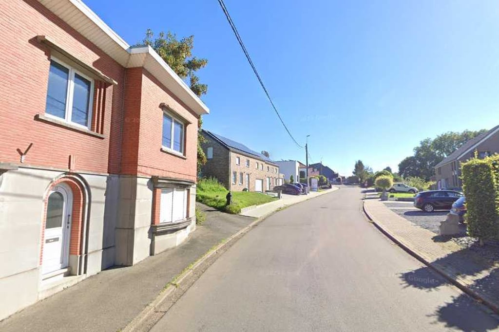
Road names: Rue Thier de l'Abbaye & Rue Amry

3.0 by BikerJohan
This is an automatic translation, the original language is: Dutch.
Nice and not too difficult climb in the northern part of Heure-le-Romain. The climb starts at the junction with Rue de la Crayère and goes up between built-up areas. After about 400 metres, the road turns right and becomes Rue Amry. The first part goes up nicely in terms of gradient. The second part up to the top flattens out to false flat. ... read more

Photos (4)

Thier de l’Abbaye
Thier de l’Abbaye
Thier de l’Abbaye
Thier de l’Abbaye
transparant thumb
transparant thumb

Your uploads (max 4)

Welcome! Please activate your account if you would like to share something. Look for the verification email in your inbox.

If you want to upload your photos, you need to create an account. It only takes 1 minute and it's completely free.

  • Receive free climbfinder goodies for your reviews & photos.
  • Create a bucket list and check off conquered climbs.
  • Add missing climbs.
Continue with GoogleContinue with Google Continue with FacebookContinue with Facebook Continue with AppleContinue with Apple Sign up with email
By signing up you agree to our terms of service and confirm that you have read our privacy & content policy.

Reviews (1)

5.0
4.0
3.0
2.0
1.0
BikerJohan
1 y 3.0
This is an automatic translation, the original language is: Dutch. Show original

Nice and not too difficult climb in the northern part of Heure-le-Romain. The climb starts at the junction with Rue de la Crayère and goes up between built-up areas. After about 400 metres, the road turns right and becomes Rue Amry. The first part goes up nicely in terms of gradient. The second part up to the top flattens out to false flat.

Leuke en niet te zware klim in het noordelijke deel van Heure-le-Romain. De klim start op de splitsing met Rue de la Crayère en gaat tussen de bebouwding omhoog. Na circa 400 meter gaat de weg in de bocht naar rechts Rue Amry heten. Het eerste deel loopt v.w.b. stijgingspercentage lekker omhoog. Het tweede deel tot de top vlakt af naar vals plat.

Dashboard

Climbing times

7 km/h 00:05:34
11 km/h 00:03:33
15 km/h 00:02:36
19 km/h 00:02:03

Road surface condition

0% 0% 0%
Based on 0 votes
Share your knowledge. What was the road condition during your ascent?

Traffic

0% 0% 0%
Based on 0 votes
Your experience counts. How much traffic did you encounter during the climb?

Frequently Asked Questions

You don't need special gearing for Thier de l’Abbaye. The slope isn't long or steep enough to require much shifting down. You can conquer this climb on power alone. However, a compact gearing system with a smallest front chainring of 34 and largest rear sprocket of 28 or 30 is always nice if you enjoy cycling uphill. This helps maintain a smooth cadence.

Thier de l’Abbaye is not tough enough to be assigned a mountain category. This means that even untrained cyclists can reach the top without any problems on this climb.

Thier de l’Abbaye is 0.7 km long.

The average gradient of Thier de l’Abbaye is 4.3%.

Thier de l’Abbaye has a steepest segment with an average gradient of 7.2%.

The summit of Thier de l’Abbaye is at 121 m.

At a slow pace of 7 km/h, it takes about 00:05:34 to climb Thier de l’Abbaye. At 11 km/h the time is 00:03:33, and at 15 km/h 00:02:36. For the fastest cyclists, 00:02:03 is an achievable time.

Thier de l’Abbaye is located in the region Liège Province in Belgium.

This page is better in the app

Climbfinder app
Climbfinder
(Free)
Open