| Hidden gem |
| #6 toughest climb of Belgium |
| #88 most elevation gain of Belgium |
| #37 average steepest climb of Valleys of the Vesdre, de l'Amblève et de l'Ourthe |
Thier Antoine from Coo is a climb in the region Valleys of the Vesdre, de l'Amblève et de l'Ourthe. It is 2.7 km long and bridges 231 m of vertical ascent with an average gradient of 8.5%, resulting in a difficulty score of 241. The top of the ascent is located at 485 m above sea level. Climbfinder users shared 2 reviews of this climb and uploaded 6 photos.
Road names: Biester, Thier de Coo, Chemin des Mazures & Ster
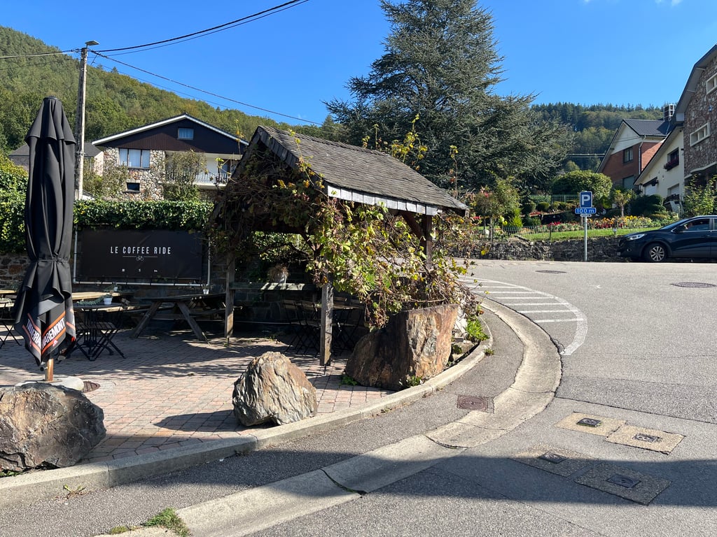
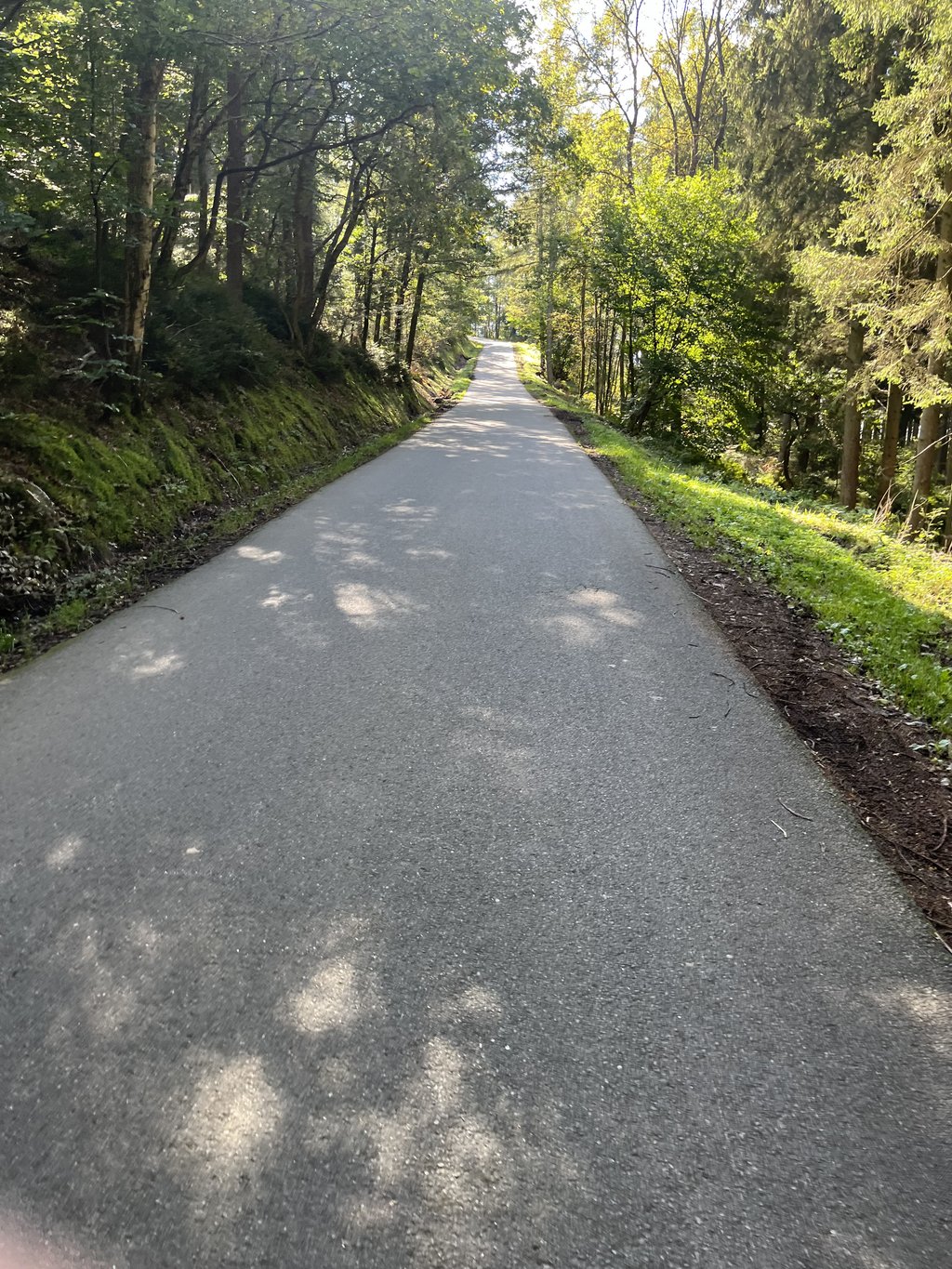
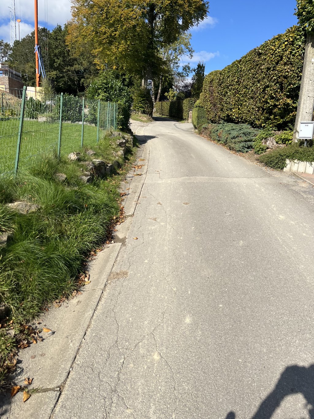
5.0 by MarcThis is an automatic translation, the original language is: German.Small alternative with an almost identical route to the Thier de Coo. It also starts at Le Coffee Ride in Stavelot on a very good, newly surfaced road with very little traffic. The first 1.2 kilometres are extremely steep, after that it flattens out a little. As a variation on the Thier de Coo, the Thier Antoine awaits you at the top with another small additional climb on the left around the bend in Ster. A nice alternative that you can do. 👍 ... read more
Welcome! Please activate your account if you would like to share something. Look for the verification email in your inbox.
If you want to upload your photos, you need to create an account. It only takes 1 minute and it's completely free.
Small alternative with an almost identical route to the Thier de Coo. It also starts at Le Coffee Ride in Stavelot on a very good, newly surfaced road with very little traffic. The first 1.2 kilometres are extremely steep, after that it flattens out a little. As a variation on the Thier de Coo, the Thier Antoine awaits you at the top with another small additional climb on the left around the bend in Ster. A nice alternative that you can do. 👍
Kleine Alternative mit fast identischen Fahrt-Verlauf wie der Thier de Coo. Beginnt genauso am Le Coffee Ride in Stavelot auf der sehr guten neu geteerten Straße mit sehr wenig Verkehr. Die ersten 1,2 km sind extrem steil, danach wird es etwas flacher. In Abwandlung zum Thier de Coo wartet der Thier Antoine noch oben angekommen. mit einem weiteren kleinen zusätzlichen Anstieg links um die Kurve in Ster auf. Nette Alternative, die man machen kann. 👍
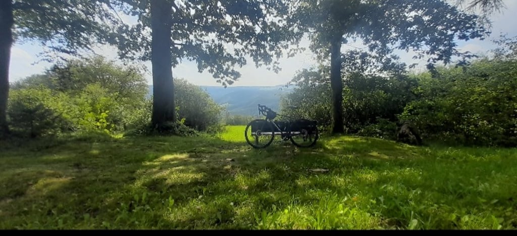
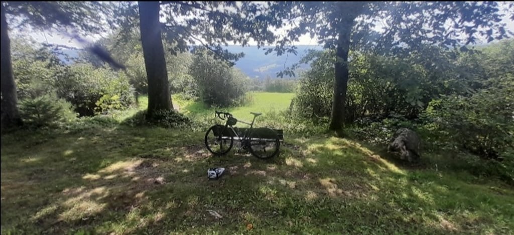
Next to Le Coffee Ride begins this very steep climb. Quiet road, hardly any traffic. The first stretch rises quickly above Trois-Pont. The second stretch through a quiet and cooling forest.
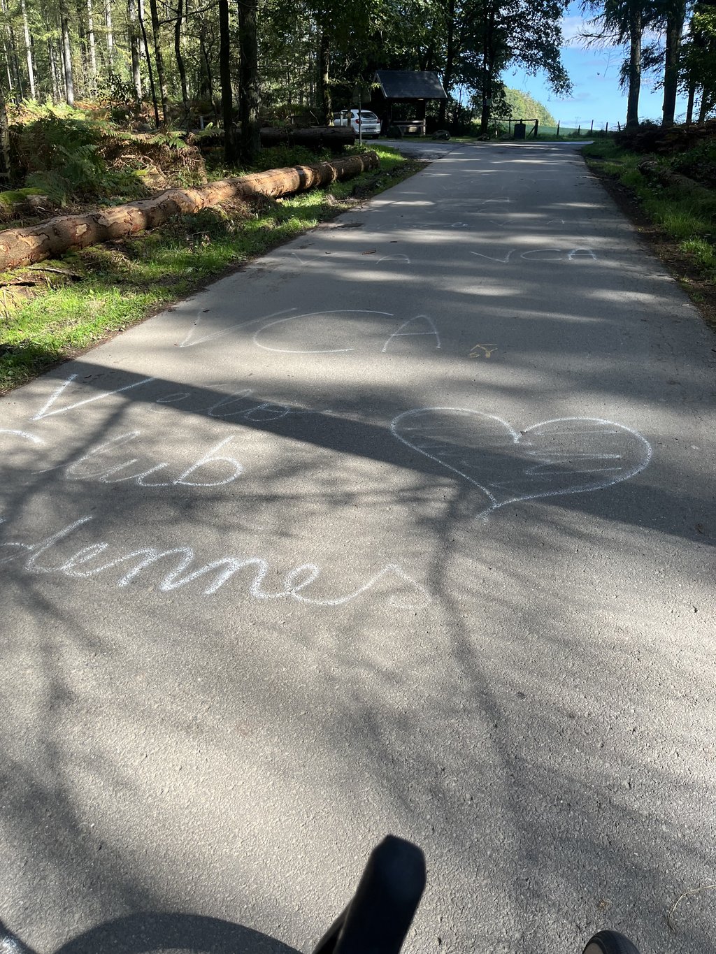
At the top is a bench to recover :)
Naast Le Coffee Ride begint dit zeer steile klimmetje. Rustige weg, nauwelijks verkeer. Het eerste stuk stijgt snel boven Trois-Pont uit. Het tweede stuk door een stil en verkoelend bos.
Boven staat een bankje om bij te komen :)
| 7 km/h | 00:23:09 |
| 11 km/h | 00:14:44 |
| 15 km/h | 00:10:48 |
| 19 km/h | 00:08:31 |
This page is better in the app