View on map
© MapLibre | OpenStreetMap contributors
1%
2%
4%
6%
8%
10%
12%
15%
20%

Tentstraat via Kerkstraat

3.0
2 reviews | Elevation profile | 3 photos
Tips nearby
Tentstraat via Kerkstraat
transparant thumb
transparant thumb
transparant thumb
transparant thumb
transparant thumb
Your achievable time
Calculating based on your best performances...
Relaxed
Maximum
W/kg
W/kg
W/kg
Analyse your climbing performance
Detailed insight into your climbing performance & automatically check off climbs
Based on your best performances.
Your best attempt:
Number of attempts:
Elevation profile Tentstraat via Kerkstraat

Statistics

Difficulty points 11
Length 0.6 km
Average gradient 3.9%
Steepest 100 metres 7.1%
Total ascent 23 m
Feedback about this climb?
Show climbs nearby Export to GPS device

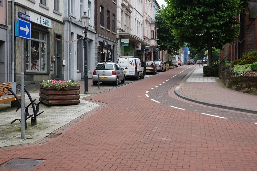
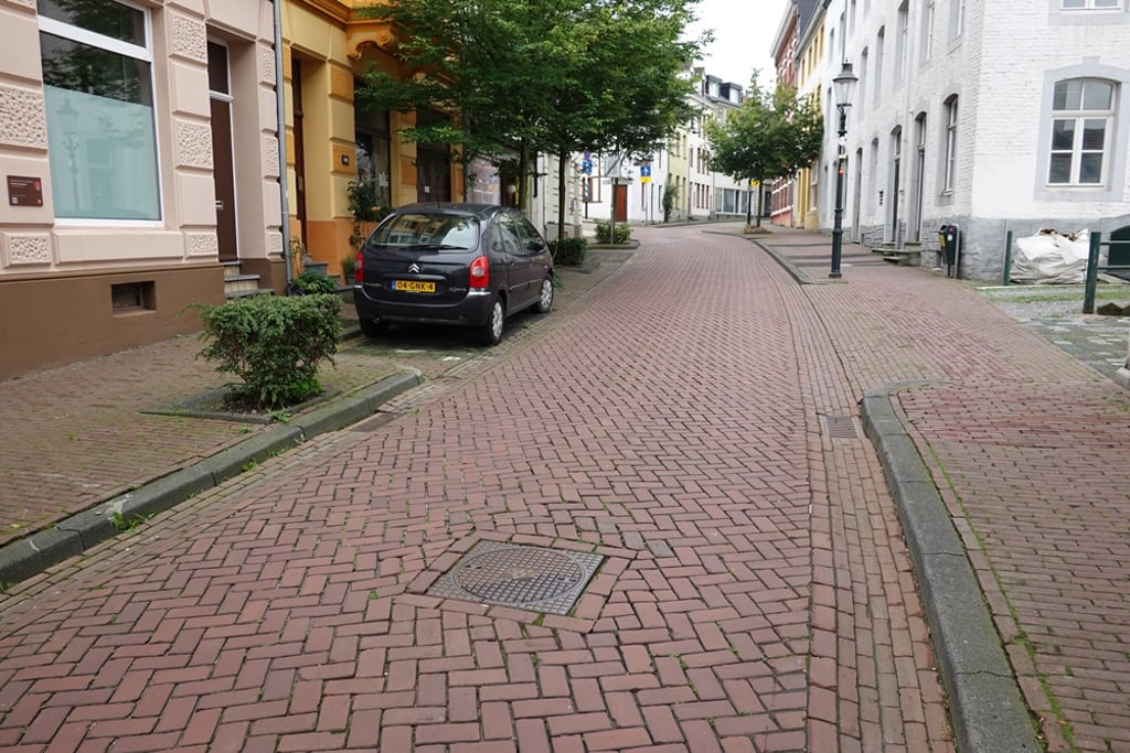
Tentstraat via Kerkstraat is a climb in the region South Limburg. It is 0.6 km long and bridges 23 m of vertical ascent with an average gradient of 3.9%, resulting in a difficulty score of 11. The top of the ascent is located at 222 m above sea level. Climbfinder users shared 2 reviews of this climb and uploaded 3 photos.

Road names: Kerkstraat & Tentstraat

3.0 by Fedor
This is an automatic translation, the original language is: Dutch.
Nice climb through the old centre of Vaals and past two churches. Spicy at first (also because you start with little momentum) after which it soon becomes more relaxed.... read more

Photos (3)

Tentstraat via Kerkstraat
transparant thumb
transparant thumb
transparant thumb

Your uploads (max 4)

Welcome! Please activate your account if you would like to share something. Look for the verification email in your inbox.

If you want to upload your photos, you need to create an account. It only takes 1 minute and it's completely free.

  • Receive free climbfinder goodies for your reviews & photos.
  • Create a bucket list and check off conquered climbs.
  • Add missing climbs.
Continue with GoogleContinue with Google Continue with FacebookContinue with Facebook Continue with AppleContinue with Apple Sign up with email
By signing up you agree to our terms of service and confirm that you have read our privacy & content policy.

Reviews (2)

5.0
4.0
3.0
2.0
1.0
Fedor
1 Mo 3.0
This is an automatic translation, the original language is: Dutch. Show original

Nice climb through the old centre of Vaals and past two churches. Spicy at first (also because you start with little momentum) after which it soon becomes more relaxed.

Aardig klimmetje door het oude centrum van Vaals en langs twee kerken. In het begin even pittig (ook omdat je met weinig vaart begint) waarna het al snel relaxter wordt.

Tentstraat via Kerkstraat
Dashboard
BikerJohan
1 Mo 3.0
This is an automatic translation, the original language is: Dutch. Show original

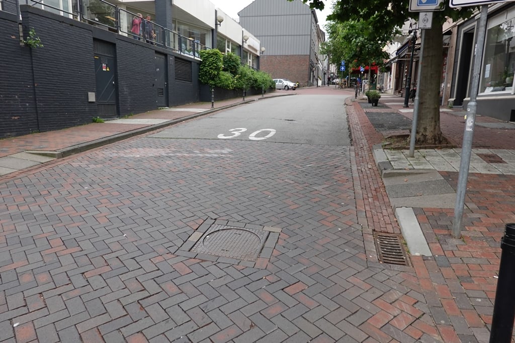
This climb starts at the same point as the climb to the Four Border Road. Where you turn left after about 400 metres at the junction for the climb to the Drielandenpunt, you now keep to the through road. There it then quickly flattens out to false flat until the summit. After the top you can turn left at the junction with Bosstraat to catch the toughest part of the climb Gemmenicherweg.

Deze klim begint op hetzelfde punt als de klim naar de Viergrenzenweg. Waar je na ca 400 meter op de splitsing linksaf gaat voor de klim naar het Drielandenpunt hou je nu de doorgaande straat aan. Daar vlakt het tot de top dan snel af naar vals plat. Na de top kan je op de kruising met de Bosstraat linksaf om het zwaarste stuk van de klim Gemmenicherweg mee te pakken.

Dashboard

Climbing times

7 km/h 00:05:08
11 km/h 00:03:16
15 km/h 00:02:24
19 km/h 00:01:53

Road surface condition

0% 0% 0%
Based on 0 votes
Share your knowledge. What was the road condition during your ascent?

Traffic

0% 0% 0%
Based on 0 votes
Your experience counts. How much traffic did you encounter during the climb?

Frequently Asked Questions

You don't need special gearing for Tentstraat via Kerkstraat. The slope isn't long or steep enough to require much shifting down. You can conquer this climb on power alone. However, a compact gearing system with a smallest front chainring of 34 and largest rear sprocket of 28 or 30 is always nice if you enjoy cycling uphill. This helps maintain a smooth cadence.

Tentstraat via Kerkstraat is not tough enough to be assigned a mountain category. This means that even untrained cyclists can reach the top without any problems on this climb.

Tentstraat via Kerkstraat is 0.6 km long.

The average gradient of Tentstraat via Kerkstraat is 3.9%.

Tentstraat via Kerkstraat has a steepest segment with an average gradient of 7.1%.

The summit of Tentstraat via Kerkstraat is at 222 m.

At a slow pace of 7 km/h, it takes about 00:05:08 to climb Tentstraat via Kerkstraat. At 11 km/h the time is 00:03:16, and at 15 km/h 00:02:24. For the fastest cyclists, 00:01:53 is an achievable time.

Tentstraat via Kerkstraat is located in the region Limburg in Netherlands.

This page is better in the app

Climbfinder app
Climbfinder
(Free)
Open