View on map
© MapLibre | OpenStreetMap contributors
1%
2%
4%
6%
8%
10%
12%
15%
20%

Struikstraat from Struik

3.0
1 review/story | Elevation profile | 0 photos
Tips nearby
Your achievable time
Calculating based on your best performances...
Relaxed
Maximum
W/kg
W/kg
W/kg
Analyse your climbing performance
Detailed insight into your climbing performance & automatically check off climbs
Based on your best performances.
Your best attempt:
Number of attempts:
Elevation profile Struikstraat from Struik
cobbles
paved

Statistics

Difficulty points 12
Length 0.4 km
Average gradient 4.8%
Steepest 100 metres 7.3%
Total ascent 20 m

Short recap

Cobbles
#92 average steepest climb of Hageland
Feedback about this climb?
Show climbs nearby Export to GPS device

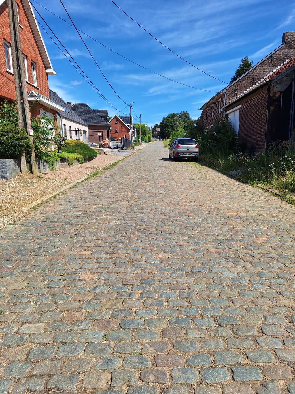
Struikstraat from Struik is a climb in the region Hageland. It is 0.4 km long and bridges 20 m of vertical ascent with an average gradient of 4.8%, resulting in a difficulty score of 12. The top of the ascent is located at 73 m above sea level. Climbfinder users shared 1 review/story of this climb and uploaded 0 photos.

Road name: Struikstraat

3.0 by StevenVGH
This is an automatic translation, the original language is: Dutch.
I came from Loksbergen and Rijnrode today, and continued along the main road. The percentages are obviously the same as the official route. The gradient starts to get particularly nasty towards the end. But that feeling may be mainly due to the previous kilometres I had already reeled off before this.... read more

Photos (0)

transparant thumb
transparant thumb
transparant thumb
transparant thumb
transparant thumb
transparant thumb

Your uploads (max 4)

Welcome! Please activate your account if you would like to share something. Look for the verification email in your inbox.

If you want to upload your photos, you need to create an account. It only takes 1 minute and it's completely free.

  • Receive free climbfinder goodies for your reviews & photos.
  • Create a bucket list and check off conquered climbs.
  • Add missing climbs.
Continue with GoogleContinue with Google Continue with FacebookContinue with Facebook Continue with AppleContinue with Apple Sign up with email
By signing up you agree to our terms of service and confirm that you have read our privacy & content policy.

Reviews (1)

5.0
4.0
3.0
2.0
1.0
StevenVGH
3 y 3.0
This is an automatic translation, the original language is: Dutch. Show original

I came from Loksbergen and Rijnrode today, and continued along the main road. The percentages are obviously the same as the official route.

The gradient starts to get particularly nasty towards the end. But that feeling may be mainly due to the previous kilometres I had already reeled off before this.

Ik kwam vandaag vanuit Loksbergen en Rijnrode, en heb de hoofdweg vervolgd. De percentages zijn uiteraard dezelfde als het officieel tracé.

De helling begint vooral te nijpen naar het einde toe. Maar dat gevoel kan vooral te wijten zijn aan de voorgaande kilometers die ik hiervoor reeds had afgehaspeld.

Dashboard

Climbing times

7 km/h 00:03:33
11 km/h 00:02:15
15 km/h 00:01:39
19 km/h 00:01:18

Road surface condition

0% 100% 0%
Based on 1 vote
Share your knowledge. What was the road condition during your ascent?

Traffic

0% 0% 100%
Based on 1 vote
Your experience counts. How much traffic did you encounter during the climb?

Frequently Asked Questions

Struikstraat can be cycled from 6 sides. Doornhof from Struik is the most popular side, but the summit can also be reached via Minnestraat from Assent, Struik, Wolvenstraat from Assent, Struikstraat from Struik & Mierenberg from Assent.

You don't need special gearing for Struikstraat from Struik. The slope isn't long or steep enough to require much shifting down. You can conquer this climb on power alone. However, a compact gearing system with a smallest front chainring of 34 and largest rear sprocket of 28 or 30 is always nice if you enjoy cycling uphill. This helps maintain a smooth cadence.

Struikstraat from Struik is not tough enough to be assigned a mountain category. This means that even untrained cyclists can reach the top without any problems on this climb.

Struikstraat from Struik is 0.4 km long.

The average gradient of Struikstraat from Struik is 4.8%.

Struikstraat from Struik has a steepest segment with an average gradient of 7.3%.

The summit of Struikstraat from Struik is at 73 m.

At a slow pace of 7 km/h, it takes about 00:03:33 to climb Struikstraat from Struik. At 11 km/h the time is 00:02:15, and at 15 km/h 00:01:39. For the fastest cyclists, 00:01:18 is an achievable time.

Struikstraat from Struik is located in the region Flemish Brabant in Belgium.

This page is better in the app

Climbfinder app
Climbfinder
(Free)
Open