Slakweg is a climb in the region South Limburg. It is 1.1 km long and bridges 42 m of vertical ascent with an average gradient of 3.9%, resulting in a difficulty score of 18. The top of the ascent is located at 110 m above sea level. Climbfinder users shared 8 reviews of this climb and uploaded 12 photos.
Road names: Slakweg & Panoramaweg
3.0 by PROSEThis is an automatic translation, the original language is: Dutch.Nice, narrow runner through the countryside. There are several similar slopes in the area you can do.... read more
Welcome! Please activate your account if you would like to share something. Look for the verification email in your inbox.
If you want to upload your photos, you need to create an account. It only takes 1 minute and it's completely free.
Nice, narrow runner through the countryside. There are several similar slopes in the area you can do.
Mooie, smalle loper door het buitengebied. Er zijn verschillende vergelijkbare hellingen in de omgeving die je kunt doen.
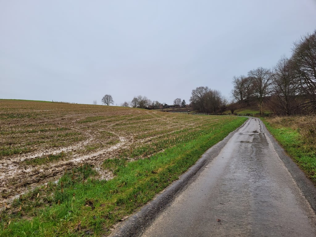
Relaxed climb on country road (prohibited for motor vehicles) from the junction at Terborgh Castle to Puth. The majority of the climb is false flat. Only just before you turn onto Panoramaweg do you get a steeper section in front of your wheels. On the Panoramaweg to the top it is then false flat again.
Relaxte klim over landweg (verboden voor motorvoertuigen) vanaf de splitsing bij kasteel Terborgh naar Puth. Het overgrote deel van de klim is vals plat. Alleen vlak voor je de Panoramaweg opdraait krijg je een steiler stukje voor de wielen. Op de Panoramaweg tot de top is het dan weer vals plat.
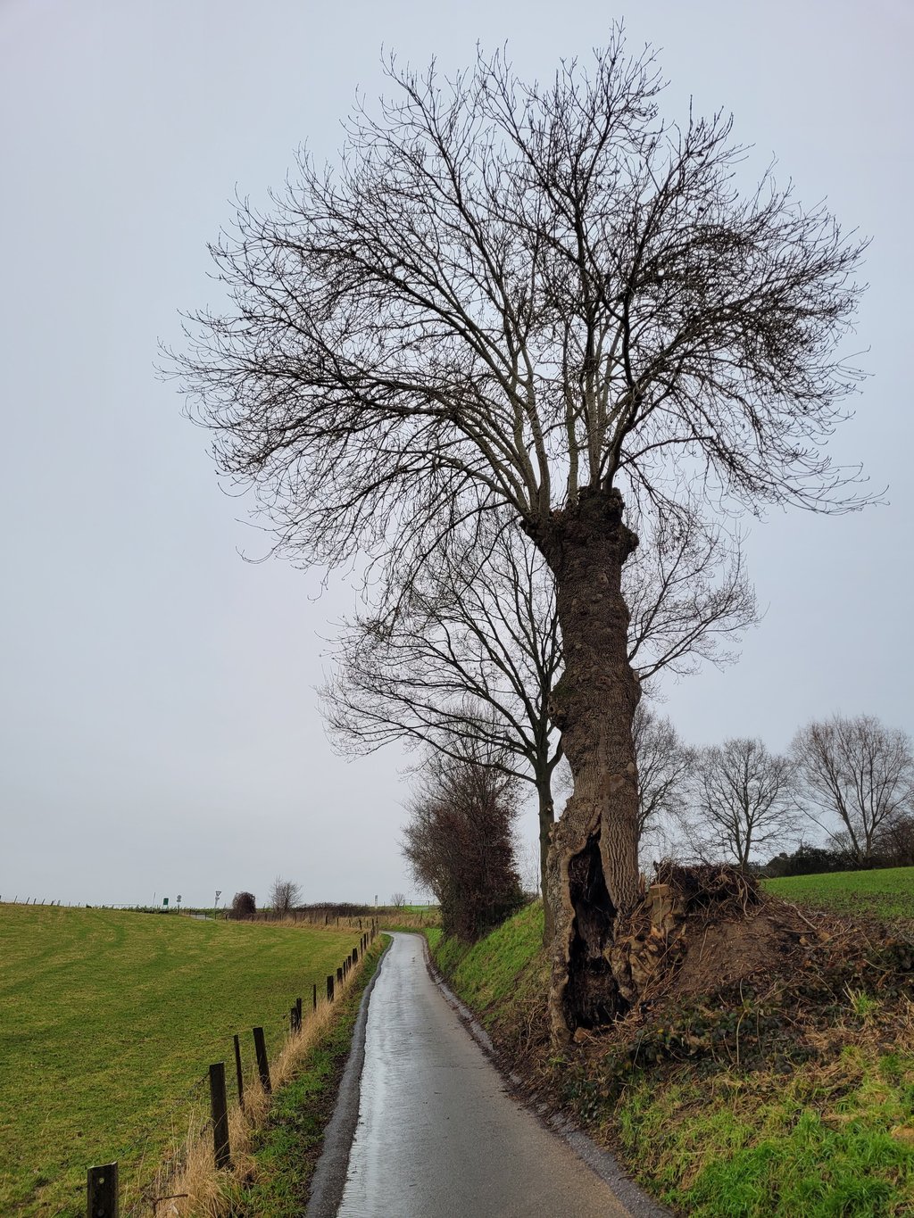
Prohibited for motor vehicles except tractors, a country road in other words. As long as it is dry and those tractors don't have to go into action much, you cycle over a nice road surface. The other way round is easy to guess. One of the many such roads, narrow, through greenery and wonderfully quiet. Not only in terms of traffic but also the sounds around you. When I drove along it, I only heard the birds and the wind. The climb itself is easy to do, just need a bit more power in the bend.
Verboden voor motorvoertuigen, uitgezonderd trekkers, een landweggetje dus. Zolang het droog is en die trekkers niet veel in actie hoeven te komen fiets je over een mooi wegdek. Andersom laat zich raden. 1 van de velen van deze weggetjes, smal, door het groen en heerlijk rustig. Niet alleen wbt verkeer maar ook zeer zeker de geluiden om je heen. Toen ik er overheen reed hoorde ik alleen de vogels en de wind. De klim zelf is makkelijk te doen, alleen in de bocht iets meer power nodig.
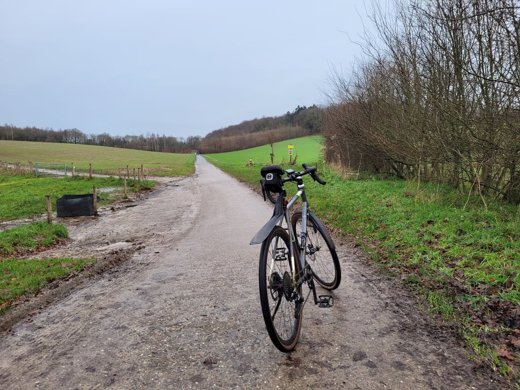
Largely relaxed runner through a scenic landscape. Just before the T-junction the road rises a little. On the T-junction we turn right for the last altimeters.
Grotendeels relaxte loper door een landschappelijk fraai landschap. Vlak voor de T-splitsing loopt de weg net wat pittiger op. Op de T-splitsing rechtsaf voor de laatste hoogtemeters.
If you find logs too steep, this is a nice alternative parallel to Stammen but only when mounting the panoramic road is it a bit steep.
als je stammen te steil vind is dit een mooi alternatief parallel aan Stammen doch alleen bij oprijden panoramaweg even een pittig stukje .
Panoramic is a beautiful climb through the open field. Not difficult, but there is a short vicious end before you turn onto the Panorama Road.
Panoramisch een mooie beklimming door het open veld. Niet moeilijk, wel een kort venijnig slot voordat je de Panoramaweg opdraait.
The snail trail is especially fun when the weather is bad. It's like going up against a waterfall!
De Slakweg is vooral leuk als het slecht weer is. Alsof je tegen een waterval omhoog moet!
| 7 km/h | 00:09:18 |
| 11 km/h | 00:05:55 |
| 15 km/h | 00:04:20 |
| 19 km/h | 00:03:25 |
This page is better in the app