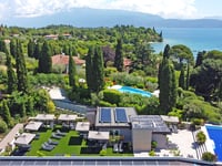
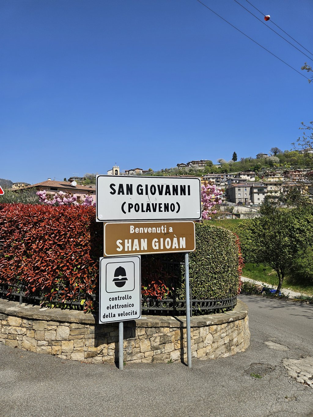
San Giovanni di Polaveno from Ome is a climb in the region Brescia. It is 4.8 km long and bridges 342 m of vertical ascent with an average gradient of 7.2%, resulting in a difficulty score of 349. The top of the ascent is located at 593 m above sea level. Climbfinder users shared 3 reviews of this climb and uploaded 5 photos.
Road names: Via San Michele & Via Ome
3.0 by arnoldsoetenThis is an automatic translation, the original language is: Dutch.First part very steep. Then it flattens out a bit. And the last part is almost flat. Nice to take along with a tour from Lake Iseo.... read more
Welcome! Please activate your account if you would like to share something. Look for the verification email in your inbox.
If you want to upload your photos, you need to create an account. It only takes 1 minute and it's completely free.
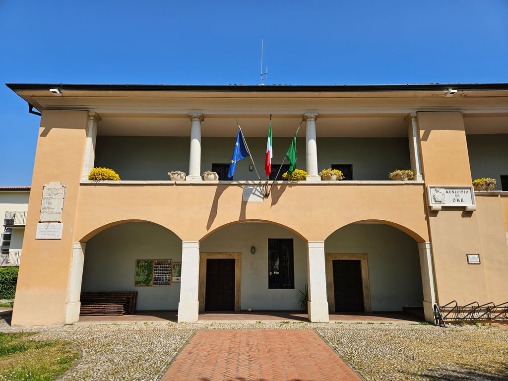
Really tough start, in double figures. It climbs in really tough sections. I read 19% on the Garmin and it's never quick to update the gradient. Then when it returns to 10% it seems like a normal climb. Fountain in the square in Ome right on the little terrace of the town hall that can be reached by bike. Then a second drinking fountain is at about 500m altitude but it was closed when I passed through in April. From there on it flattens out quite a bit. Once in San Giovanni you can choose where to descend. Towards Iseo, after a first descent, you climb again up to an altitude of 680m but smooth and not hard. On that side there is a beautiful panorama but too many romantic motorbikes. A few small gravel roads invite caution.
Inizio veramente tosto, in doppia cifra. Sale a strappi belli duri. Ho letto sul Garmin 19% e non è mai veloce ad aggiornare la pendenza. Poi quando torna al 10% sembra una salita normale. Fontanella in piazza ad Ome proprio sul terrazzino del municipio raggiungibile in bicicletta. Poi una seconda fontanella si trova a circa 500m di quota ma era chiusa al mio passaggio in aprile. Da lì in poi spiana abbastanza. Giunti a San Giovanni puoi scegliere dove scendere. Verso Iseo, dopo una prima discesa, si sale nuovamente fino a quota 680m ma regolare e non dura. Su quel versante bel panorama ma troppe motociclette romantico. Qualche brecciolino invita alla cautela.
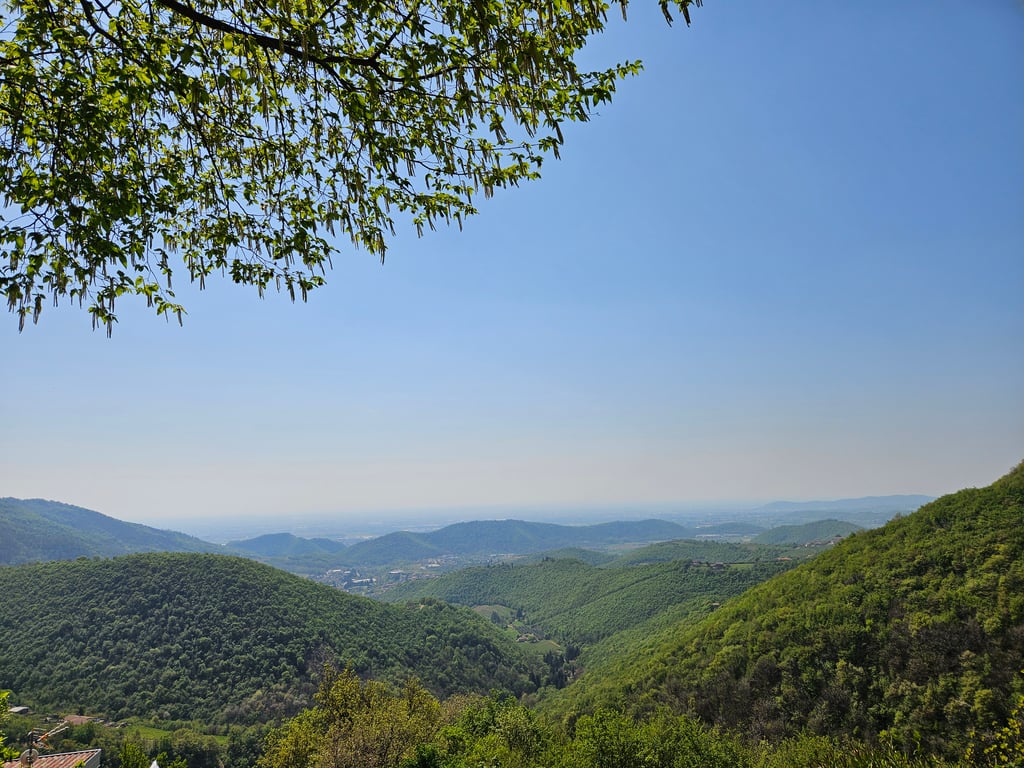
Irregular ascent, made up of very steep steps followed by brief moments of respite.
The final part is particularly easy.
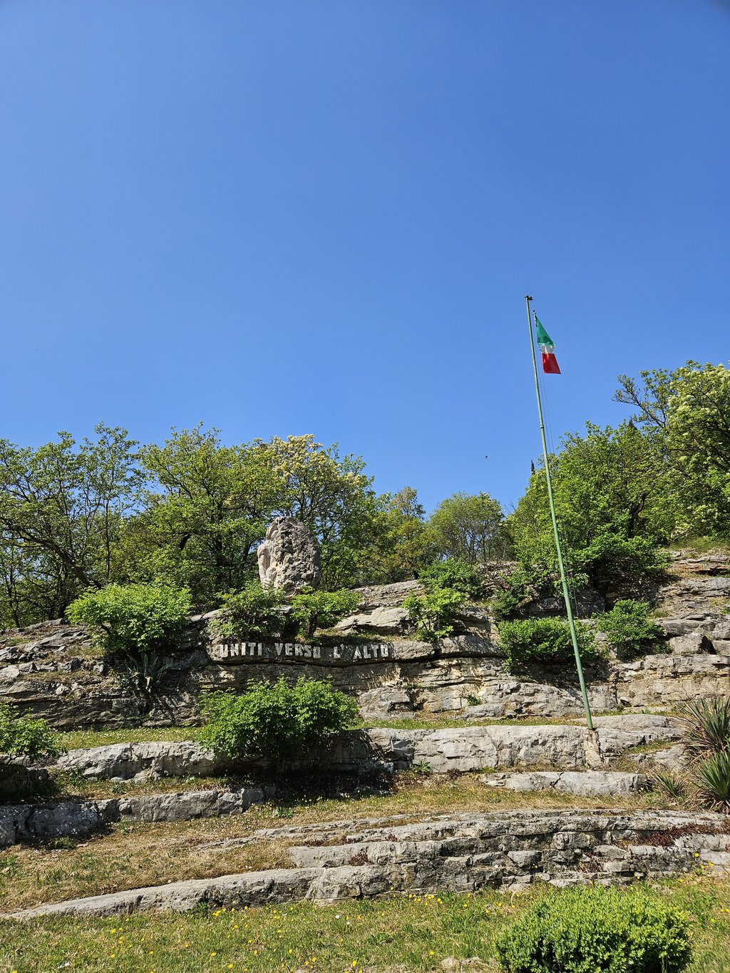
At the top, it is possible to continue to Passo Tre Termini and from there descend towards Lago d'Iseo, or to descend into ValTrompia.
Salita irregolare, fatta a gradoni molto ripidi seguiti da brevi momenti di respiro.
La parte conclusiva è particolarmente facile.
In cima è possibile proseguire verso il Passo Tre Termini e da lì scendere verso il Lago d’Iseo, oppure scendere in ValTrompia.
First part very steep. Then it flattens out a bit. And the last part is almost flat. Nice to take along with a tour from Lake Iseo.
Eerste deel erg steil. Daarna vlakt het iets af. En het laatste deel is zo goed als vlak. Mooi mee te pakken met een rondje vanaf het Iseomeer.
| 7 km/h | 00:40:43 |
| 11 km/h | 00:25:55 |
| 15 km/h | 00:19:00 |
| 19 km/h | 00:15:00 |
This page is better in the app