View on map
© MapLibre | OpenStreetMap contributors
1%
2%
4%
6%
8%
10%
12%
15%
20%

Rue Trou du Moulin

3.7
3 reviews | Elevation profile | 7 photos
Tips nearby
Rue Trou du Moulin
Rue Trou du Moulin
Rue Trou du Moulin
Rue Trou du Moulin
Rue Trou du Moulin
Rue Trou du Moulin
Rue Trou du Moulin
transparant thumb
Your achievable time
Calculating based on your best performances...
Relaxed
Maximum
W/kg
W/kg
W/kg
Analyse your climbing performance
Detailed insight into your climbing performance & automatically check off climbs
Based on your best performances.
Your best attempt:
Number of attempts:
Elevation profile Rue Trou du Moulin

Statistics

Difficulty points 71
Length 0.8 km
Average gradient 8.3%
Steepest 100 metres 17.3%
Total ascent 68 m

Short recap

Hidden gem
#1 toughest climb of Haspengouw
#14 most elevation gain of Haspengouw
#12 average steepest climb of Haspengouw
Feedback about this climb?
Show climbs nearby Export to GPS device

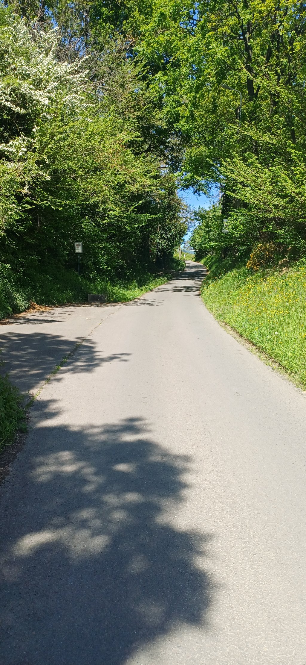
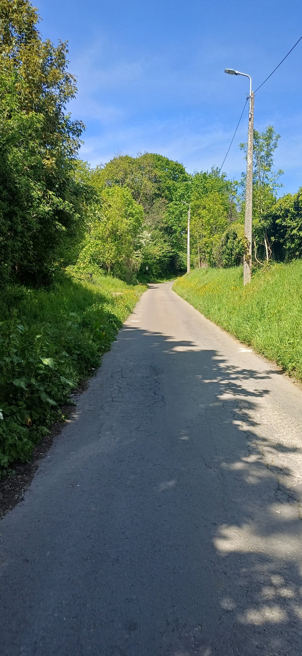
Rue Trou du Moulin is a climb in the region Haspengouw. It is 0.8 km long and bridges 68 m of vertical ascent with an average gradient of 8.3%, resulting in a difficulty score of 71. The top of the ascent is located at 128 m above sea level. Climbfinder users shared 3 reviews of this climb and uploaded 7 photos.

Road names: Rue Trou du Moulin & Rue du Roi Albert
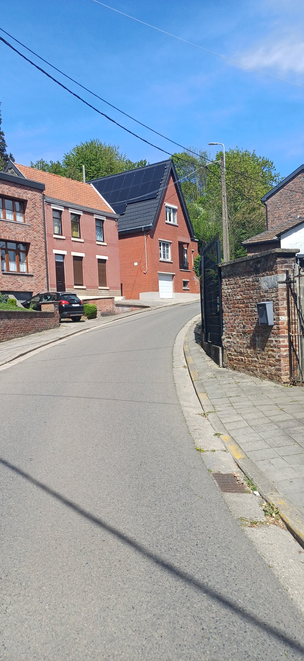
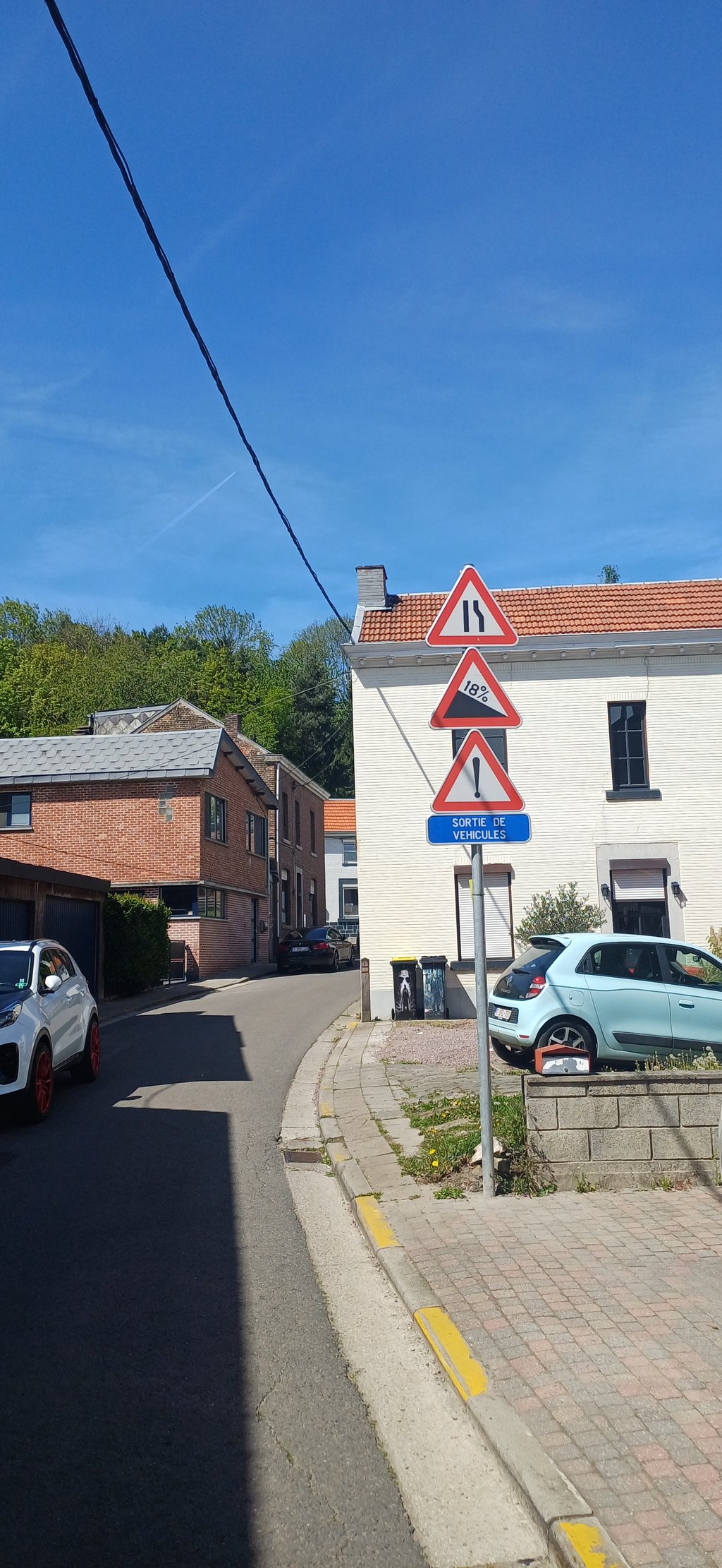
3.0 by WouterDK
This is an automatic translation, the original language is: Dutch.
Super steep tor you reach the main road. The road surface is good and it is a quiet street. If necessary, you can fill up with water before the steepest part at the entrance to the cemetery.... read more

Photos (7)

Rue Trou du Moulin
Rue Trou du Moulin
Rue Trou du Moulin
Rue Trou du Moulin
Rue Trou du Moulin
Rue Trou du Moulin
Rue Trou du Moulin
transparant thumb
transparant thumb
transparant thumb
transparant thumb
transparant thumb

Your uploads (max 4)

Welcome! Please activate your account if you would like to share something. Look for the verification email in your inbox.

If you want to upload your photos, you need to create an account. It only takes 1 minute and it's completely free.

  • Receive free climbfinder goodies for your reviews & photos.
  • Create a bucket list and check off conquered climbs.
  • Add missing climbs.
Continue with GoogleContinue with Google Continue with FacebookContinue with Facebook Continue with AppleContinue with Apple Sign up with email
By signing up you agree to our terms of service and confirm that you have read our privacy & content policy.

Reviews (3)

5.0
4.0
3.0
2.0
1.0
Piekpionier
2 Mo 3.0
This is an automatic translation, the original language is: Dutch. Show original

Extremely steep climb that immediately hurts and keeps surprising you to the top with vicious percentages, despite its short nature.

Extreem steil klimmetje dat meteen pijn doet en je tot boven blijft verrassen met venijnige percentages, ondanks het korte karakter.

Dashboard
WouterDK
2 y 3.0
This is an automatic translation, the original language is: Dutch. Show original

Super steep tor you reach the main road. The road surface is good and it is a quiet street. If necessary, you can fill up with water before the steepest part at the entrance to the cemetery.

Super steil tot je de grote weg bereikt hebt. Het wegdek is goed en het is een rustige straat. Als het nodig zou zijn kan je voor het steilste stuk aan de ingang van het kerkhof water bijvullen.

Dashboard
ChefVanDePeleton
3 y 5.0

What a killer, the hardest of Haspengouw! Even when turning left after the steepest part this feels as a +70 points climb to me. You start ok, when you see the cemetery you're still hopeful. Then you start building up some lactic acid, making you hope it'll end soon. And when you finally think you're almost there, the percentage kicks in even more. One hell of a climb. Love it!

Dashboard

Climbing times

7 km/h 00:07:00
11 km/h 00:04:27
15 km/h 00:03:16
19 km/h 00:02:34

Road surface condition

100% 0% 0%
Based on 4 votes
Share your knowledge. What was the road condition during your ascent?

Traffic

75% 25% 0%
Based on 4 votes
Your experience counts. How much traffic did you encounter during the climb?

Frequently Asked Questions

Rue Trou du Moulin can be cycled from 7 sides. Rue du Tournay is the most popular side, but the summit can also be reached via Rue Stalis from Wèrihet, Rue des Quatre Chemins & Rue de Hermalle, Rue de Baronhaie from Heure-le-Romain, Rue du Long Fossé from Haccourt, Thier d'Oupeye & Rue Trou du Moulin.

You don't need special gearing for Rue Trou du Moulin. The slope isn't long or steep enough to require much shifting down. You can conquer this climb on power alone. However, a compact gearing system with a smallest front chainring of 34 and largest rear sprocket of 28 or 30 is always nice if you enjoy cycling uphill. This helps maintain a smooth cadence.

Rue Trou du Moulin falls into the 5th category. With good fitness, you can ride it up with speed and power. If you have less training, shift down and climb smoothly.

Rue Trou du Moulin is 0.8 km long.

The average gradient of Rue Trou du Moulin is 8.3%.

Rue Trou du Moulin has a steepest segment with an average gradient of 17.3%.

The summit of Rue Trou du Moulin is at 128 m.

At a slow pace of 7 km/h, it takes about 00:07:00 to climb Rue Trou du Moulin. At 11 km/h the time is 00:04:27, and at 15 km/h 00:03:16. For the fastest cyclists, 00:02:34 is an achievable time.

Rue Trou du Moulin is located in the region Liège Province in Belgium.

This page is better in the app

Climbfinder app
Climbfinder
(Free)
Open