| Cobbles |
| #80 toughest climb of Brussels-Capital Region |
| #88 most elevation gain of Brussels-Capital Region |
| #93 longest climb of Brussels-Capital Region |
| #50 average steepest climb of Brussels-Capital Region |
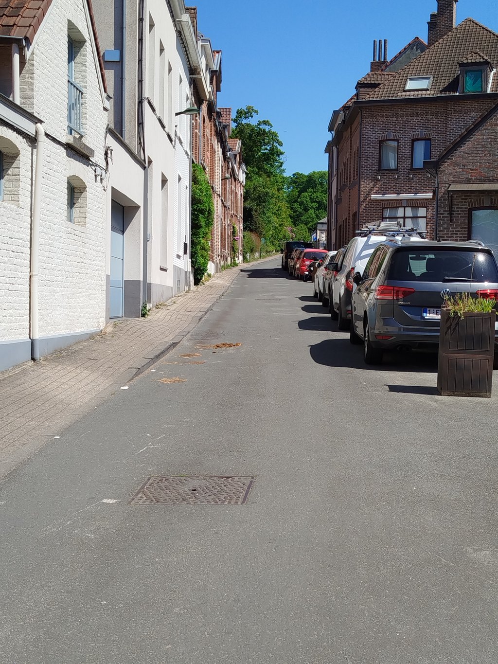
Rue du Buis from Watermael-Boitsfort is a climb in the region Brussels-Capital Region. It is 0.5 km long and bridges 26 m of vertical ascent with an average gradient of 5.3%, resulting in a difficulty score of 16. The top of the ascent is located at 97 m above sea level. Climbfinder users shared 3 reviews of this climb and uploaded 8 photos.
Road name: Rue du Buis
4.0 by N_MThis is an automatic translation, the original language is: Dutch.Ideal for climbing from Boitsfort to the start of Welriekendedreef to ride into the Sonian Forest... read more

Welcome! Please activate your account if you would like to share something. Look for the verification email in your inbox.
If you want to upload your photos, you need to create an account. It only takes 1 minute and it's completely free.
Ideal for climbing from Boitsfort to the start of Welriekendedreef to ride into the Sonian Forest
Ideaal om vanuit Bosvoorde te klimmen tot de start van Welriekendedreef om zo het Zoniënwoud in te rijden
A quiet little street leading first to the Watermael-Boitsfort cemetery, then on to the forest. Very easy if you're in good physical condition.
Une petite rue calme qui mène au cimetière de Watermael-Boitsfort dans un premier temps, ensuite vers la forêt. Très facile quand on a un peu de condition physique
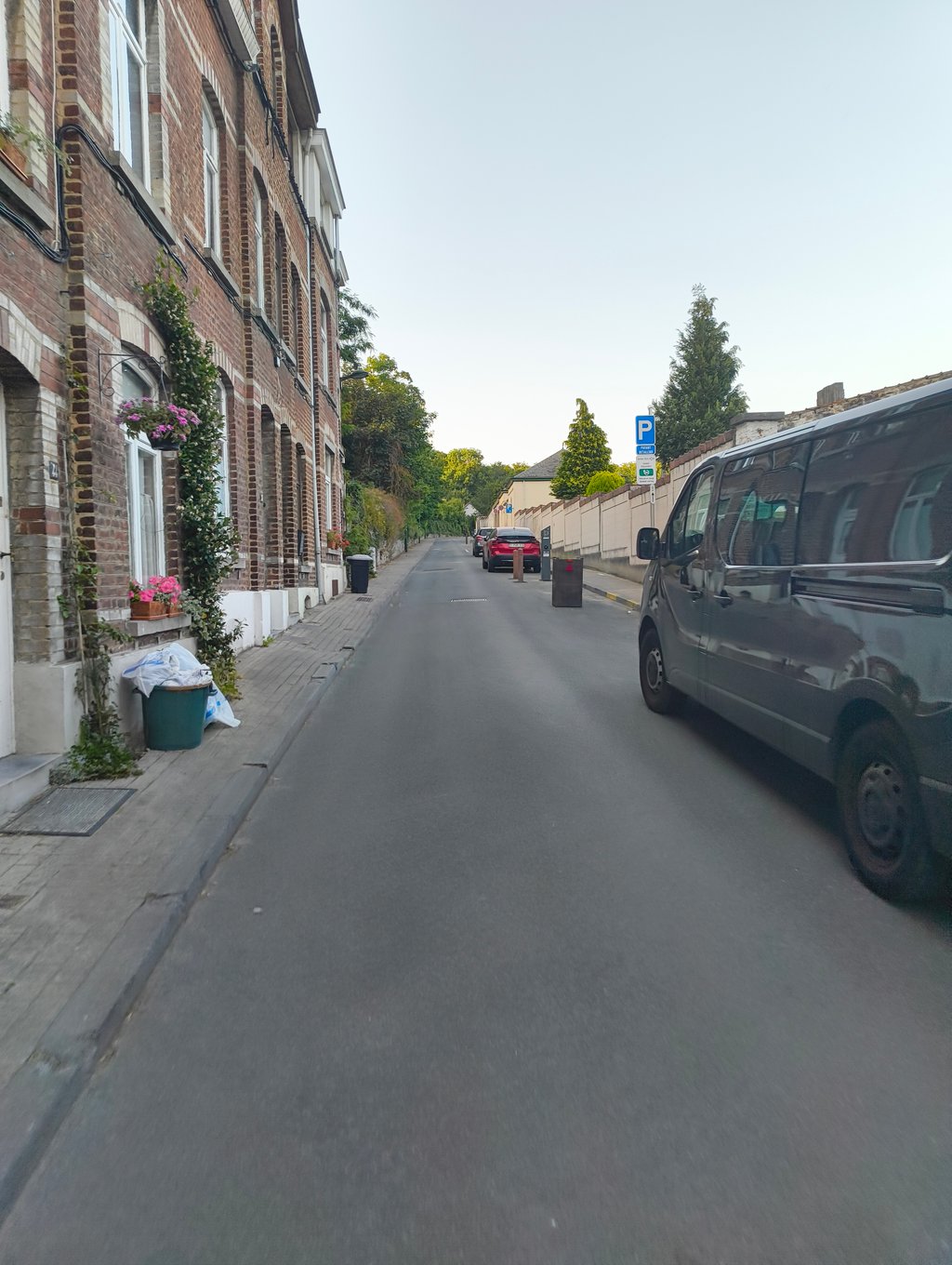
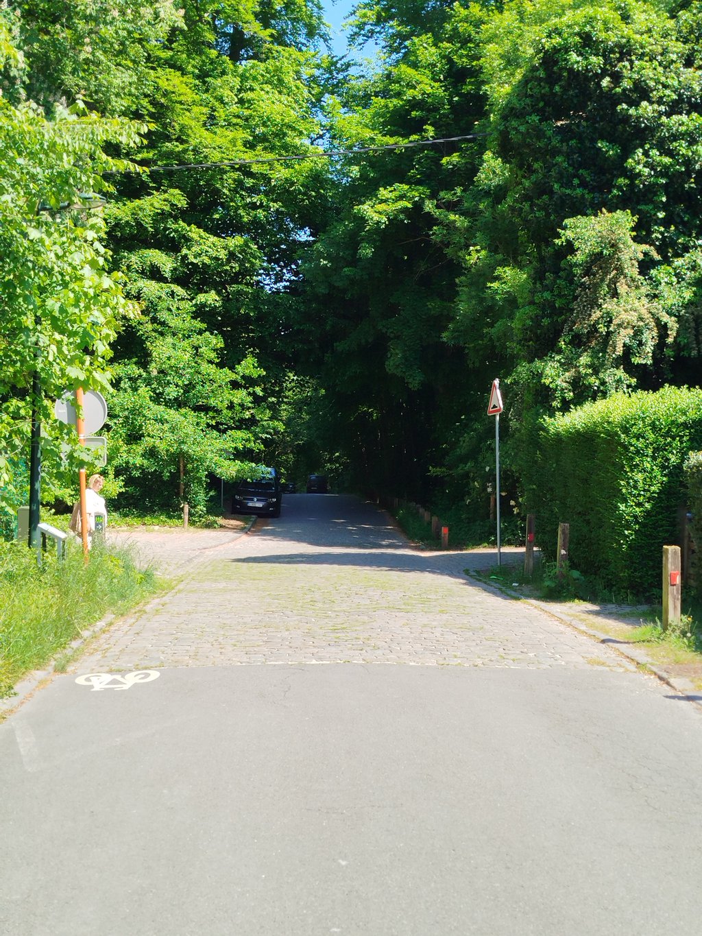
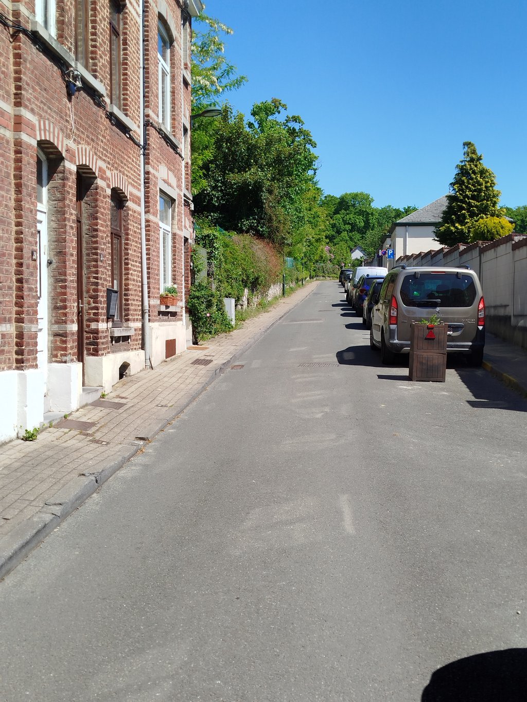
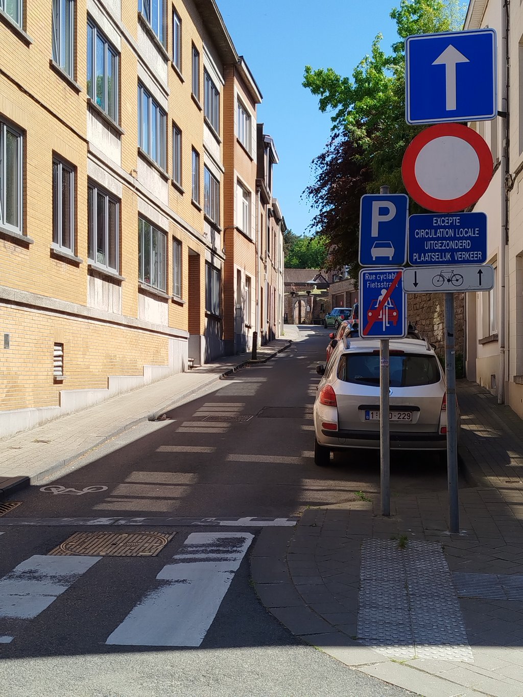
A regular and not too difficult climb that can be divided into 2 parts: first a rather rough and urban street with many parked cars. Then, after the cemetery, a final, gentler and more rural part that leads to the Drève de bonne Odeur and the entrance to the Soignes forest. The last section is made of regular cobblestones.
Une montée régulière et pas trop difficile qui peut être divisée en 2 parties : d'abord une rue un peu rude et urbaine assez étroite avec beaucoup de voitures stationnées. Puis, après le cimetière, une dernière partie plus douce et plus rurale qui conduit à la Drève de bonne Odeur et l'entrée dans la forêt de Soignes. Dernier petit tronçon en pavés réguliers.
| 7 km/h | 00:04:14 |
| 11 km/h | 00:02:41 |
| 15 km/h | 00:01:58 |
| 19 km/h | 00:01:33 |
This page is better in the app