View on map
© MapLibre | OpenStreetMap contributors
1%
2%
4%
6%
8%
10%
12%
15%
20%

Rue deVal-Meer from Val-Meer

3.0
1 review/story | Elevation profile | 3 photos
Tips nearby
Rue deVal-Meer from Val-Meer
transparant thumb
transparant thumb
transparant thumb
transparant thumb
transparant thumb
Your achievable time
Calculating based on your best performances...
Relaxed
Maximum
W/kg
W/kg
W/kg
Analyse your climbing performance
Detailed insight into your climbing performance & automatically check off climbs
Based on your best performances.
Your best attempt:
Number of attempts:
Elevation profile Rue deVal-Meer from Val-Meer

Statistics

Difficulty points 7
Length 2.2 km
Average gradient 1.5%
Steepest 100 metres 4.4%
Total ascent 33 m
Feedback about this climb?
Show climbs nearby Export to GPS device

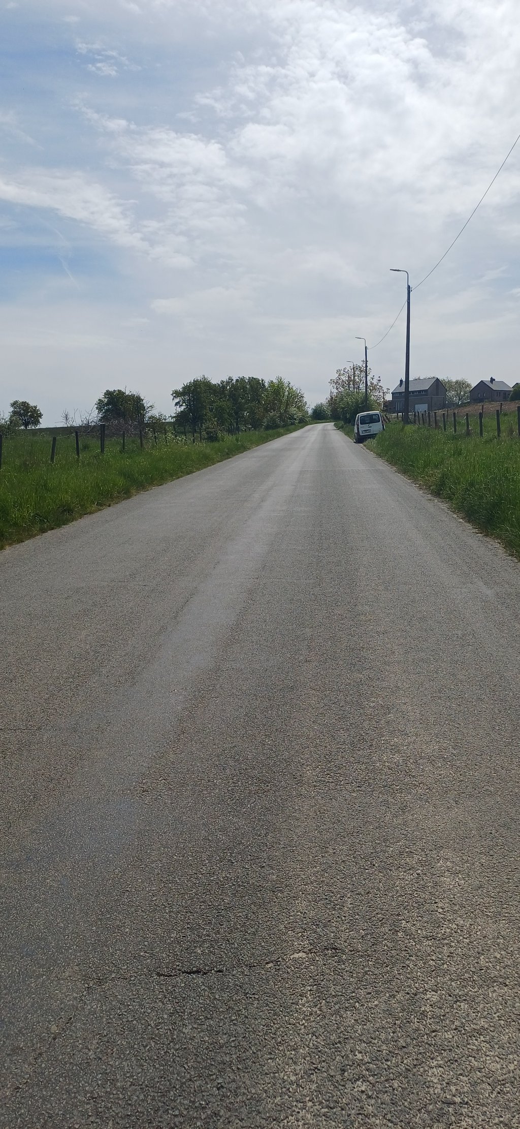
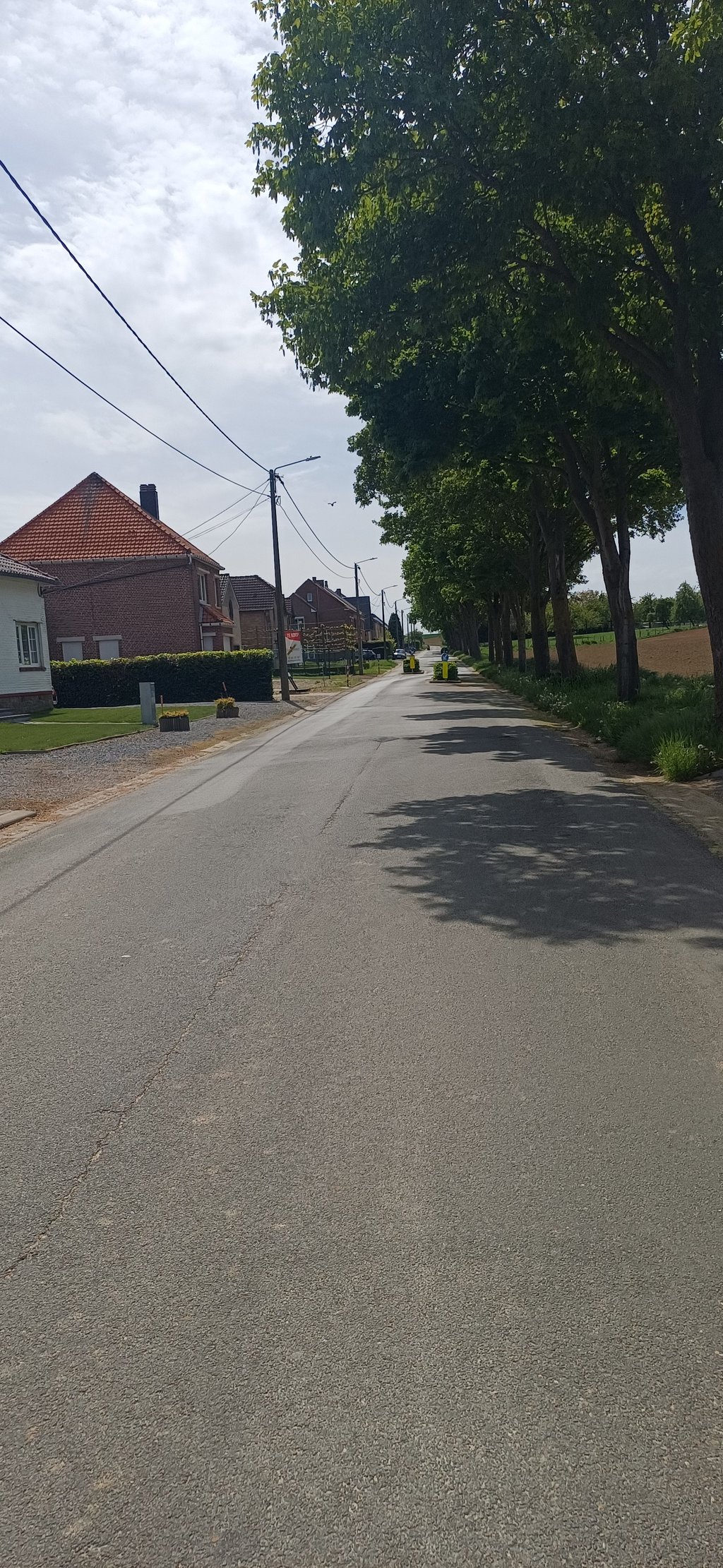
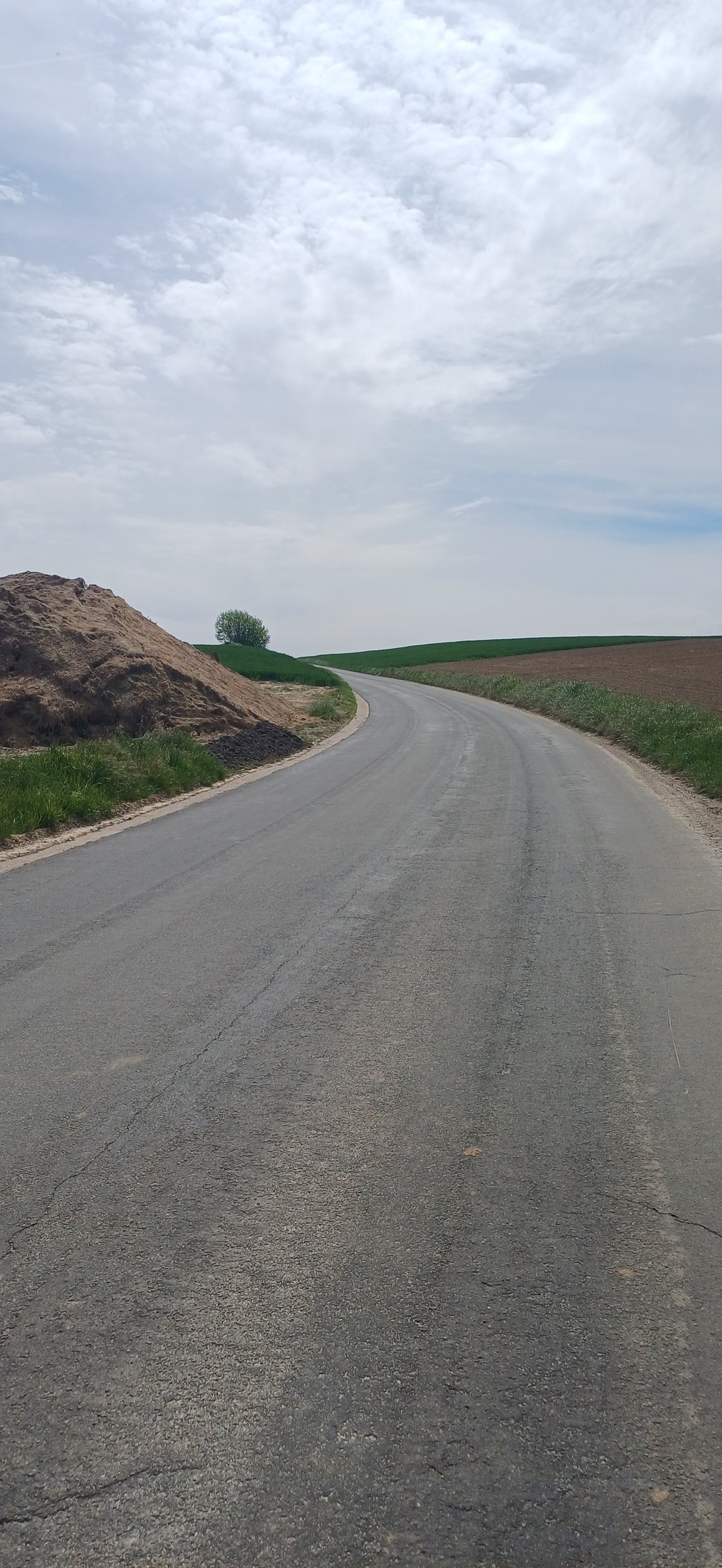
Rue deVal-Meer from Val-Meer is a climb in the region Haspengouw. It is 2.2 km long and bridges 33 m of vertical ascent with an average gradient of 1.5%, resulting in a difficulty score of 7. The top of the ascent is located at 131 m above sea level. Climbfinder users shared 1 review/story of this climb and uploaded 3 photos.

Road names: Verbindingsweg, Bitsingerweg & Rue deVal-Meer

3.0 by BikerJohan
This is an automatic translation, the original language is: Dutch.
Nice running false flat climb of over 2 kilometres starting in the centre of Val-Meer. Only the last 100 metres before the summit is a bit steeper. From the top, it's a nice 2 kilometres downhill to Bitsingen/Bassenge. You ride in wide/open countryside.... read more

Photos (3)

Rue deVal-Meer from Val-Meer
transparant thumb
transparant thumb
transparant thumb

Your uploads (max 4)

Welcome! Please activate your account if you would like to share something. Look for the verification email in your inbox.

If you want to upload your photos, you need to create an account. It only takes 1 minute and it's completely free.

  • Receive free climbfinder goodies for your reviews & photos.
  • Create a bucket list and check off conquered climbs.
  • Add missing climbs.
Continue with GoogleContinue with Google Continue with FacebookContinue with Facebook Continue with AppleContinue with Apple Sign up with email
By signing up you agree to our terms of service and confirm that you have read our privacy & content policy.

Reviews (1)

5.0
4.0
3.0
2.0
1.0
BikerJohan
1 Mo 3.0
This is an automatic translation, the original language is: Dutch. Show original

Nice running false flat climb of over 2 kilometres starting in the centre of Val-Meer. Only the last 100 metres before the summit is a bit steeper. From the top, it's a nice 2 kilometres downhill to Bitsingen/Bassenge. You ride in wide/open countryside.

Lekker lopende vals plat klim van ruim 2 kilometer die start in het centrum van Val-Meer. Alleen de laatste 100 meter voor de top is wat steiler. Vanaf de top is het 2 kilometer lekker afdalen naar Bitsingen/Bassenge. Je rijdt in een wijdse/open omgeving.

Dashboard

Climbing times

7 km/h 00:18:55
11 km/h 00:12:02
15 km/h 00:08:49
19 km/h 00:06:58

Road surface condition

0% 0% 0%
Based on 0 votes
Share your knowledge. What was the road condition during your ascent?

Traffic

0% 0% 0%
Based on 0 votes
Your experience counts. How much traffic did you encounter during the climb?

Frequently Asked Questions

Rue deVal-Meer can be cycled from 2 sides. Rue de Val Meer via Rue Nouwen is the most popular side, but the summit can also be reached via Rue deVal-Meer from Val-Meer.

You don't need special gearing for Rue deVal-Meer from Val-Meer. The slope isn't long or steep enough to require much shifting down. You can conquer this climb on power alone. However, a compact gearing system with a smallest front chainring of 34 and largest rear sprocket of 28 or 30 is always nice if you enjoy cycling uphill. This helps maintain a smooth cadence.

Rue deVal-Meer from Val-Meer is not tough enough to be assigned a mountain category. This means that even untrained cyclists can reach the top without any problems on this climb.

Rue deVal-Meer from Val-Meer is 2.2 km long.

The average gradient of Rue deVal-Meer from Val-Meer is 1.5%.

Rue deVal-Meer from Val-Meer has a steepest segment with an average gradient of 4.4%.

The summit of Rue deVal-Meer from Val-Meer is at 131 m.

At a slow pace of 7 km/h, it takes about 00:18:55 to climb Rue deVal-Meer from Val-Meer. At 11 km/h the time is 00:12:02, and at 15 km/h 00:08:49. For the fastest cyclists, 00:06:58 is an achievable time.

Rue deVal-Meer from Val-Meer is located in the region Belgium Limburg in Belgium.

This page is better in the app

Climbfinder app
Climbfinder
(Free)
Open