Rue de Pécrot from Nethen is a climb in the region Ardennes Brabançonnes. It is 1.2 km long and bridges 35 m of vertical ascent with an average gradient of 2.8%, resulting in a difficulty score of 13. The top of the ascent is located at 79 m above sea level. Climbfinder users shared 3 reviews of this climb and uploaded 2 photos.
Road name: Rue de Pécrot
3.0 by Maikel1989This is an automatic translation, the original language is: Dutch.The back of Rue de Pécrot. This one is relatively short and never gets really steep. Through a nice forest though so in terms of scenery this one is not too bad. You then have to descend here via the real Rue de Pecrot which is steep, especially on that bad concrete.... read more
Welcome! Please activate your account if you would like to share something. Look for the verification email in your inbox.
If you want to upload your photos, you need to create an account. It only takes 1 minute and it's completely free.
The back of Rue de Pécrot. This one is relatively short and never gets really steep. Through a nice forest though so in terms of scenery this one is not too bad. You then have to descend here via the real Rue de Pecrot which is steep, especially on that bad concrete.
De achterkant van de Rue de Pécrot. Deze is relatief kort en wordt nooit echt steil. Wel door een mooi bos dus qua omgeving valt deze goed mee. Je moet hier dan wel afdalen via de echte Rue de Pecrot wat steil is, zeker op die slechte beton.
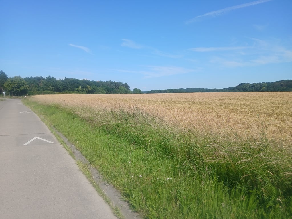
Rusitge hill with macadam. The steepest part is after 250 metres, after which you can ride up to the forest with a beautiful view of the valley. A steeper descent starts here, but due to the wide road and the low traffic it is perfectly manageable.
Rusitge heuvel voorzien van macadam. Het steilste stuk zit na 250 meter, nadien kan je met een prachtig uitzicht over valsplat rijden tot aan het bos. Let wel hier start een steilere afdaling, echter door de brede wegenis en het geringe verkeer is deze perfect te doen.
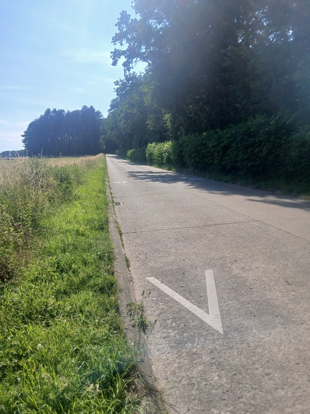
From Nethen, this macadam track leads to Pécrot. Do not be frightened, because the Walloon macadam runs here strangely better than the Flemish variants that you find in these parts.
In itself, this slope is not really something to write home about. The variant that you climb from Pécrot is much more interesting! Nevertheless, this stretch is a nice way to ride from Beauvechain to Sint-Agatha-Rode, in a relatively quiet way passing Walloon village centres.
Vanuit Nethen loopt deze macadambaan richting Pécrot. Laat je niet afschrikken, want de Waalse macadam loopt hier vreemd genoeg stukken beter dan de Vlaamse varianten die je in deze streken aantreft.
Op zich is deze helling niet echt iets om over naar huis te schrijven. De variant die je vanuit Pécrot beklimt is een pak interessanter! Toch is deze strook een mooie manier om vanuit Beauvechain naar Sint-Agatha-Rode te rijden, op een relatief rustige manier langs Waalse dorpskernen.
| 7 km/h | 00:10:34 |
| 11 km/h | 00:06:43 |
| 15 km/h | 00:04:55 |
| 19 km/h | 00:03:53 |
This page is better in the app