View on map
© MapLibre | OpenStreetMap contributors
1%
2%
4%
6%
8%
10%
12%
15%
20%

Rue de la Croix / Kreuzstrasse from Walhorn

2.0
2 reviews | Elevation profile | 4 photos
Tips nearby
Rue de la Croix / Kreuzstrasse from Walhorn
transparant thumb
transparant thumb
transparant thumb
transparant thumb
Your achievable time
Calculating based on your best performances...
Relaxed
Maximum
W/kg
W/kg
W/kg
Analyse your climbing performance
Detailed insight into your climbing performance & automatically check off climbs
Based on your best performances.
Your best attempt:
Number of attempts:
Elevation profile Rue de la Croix / Kreuzstrasse from Walhorn

Statistics

Difficulty points 7
Length 0.6 km
Average gradient 2.8%
Steepest 100 metres 5.6%
Total ascent 18 m
Feedback about this climb?
Show climbs nearby Export to GPS device

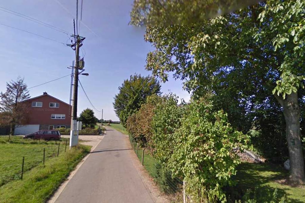
Rue de la Croix / Kreuzstrasse from Walhorn is a climb in the region Pays de Herve. It is 0.6 km long and bridges 18 m of vertical ascent with an average gradient of 2.8%, resulting in a difficulty score of 7. The top of the ascent is located at 281 m above sea level. Climbfinder users shared 2 reviews of this climb and uploaded 4 photos.

Road names: Dorfstraße, Ketteniser Straße & Kreuzstraße

2.0 by BikerJohan
This is an automatic translation, the original language is: Dutch.
Not too difficult climb that starts on entering Walhorn. The gradient rises until halfway, before leveling off as a false flat until the summit. If you keep following the road after the top, you will automatically get the climb of Langgasse in front of your wheels.... read more

Photos (4)

Rue de la Croix / Kreuzstrasse from Walhorn
transparant thumb
transparant thumb

Your uploads (max 4)

Welcome! Please activate your account if you would like to share something. Look for the verification email in your inbox.

If you want to upload your photos, you need to create an account. It only takes 1 minute and it's completely free.

  • Receive free climbfinder goodies for your reviews & photos.
  • Create a bucket list and check off conquered climbs.
  • Add missing climbs.
Continue with GoogleContinue with Google Continue with FacebookContinue with Facebook Continue with AppleContinue with Apple Sign up with email
By signing up you agree to our terms of service and confirm that you have read our privacy & content policy.

Reviews (2)

5.0
4.0
3.0
2.0
1.0
BikerJohan
1 y 2.0
This is an automatic translation, the original language is: Dutch. Show original

Not too difficult climb that starts on entering Walhorn. The gradient rises until halfway, before leveling off as a false flat until the summit. If you keep following the road after the top, you will automatically get the climb of Langgasse in front of your wheels.

Niet te moeilijke klim die start bij het binnenrijden van Walhorn. Tot halfverwege loopt het stijgingspercentage op om daarna tot de top als vals plat af te vlakken. Als je na de top de weg blijft volgen krijg je vanzelf de klim van Langgasse voor de wielen.

Dashboard
Fedor
1 y 2.0
This is an automatic translation, the original language is: Dutch. Show original

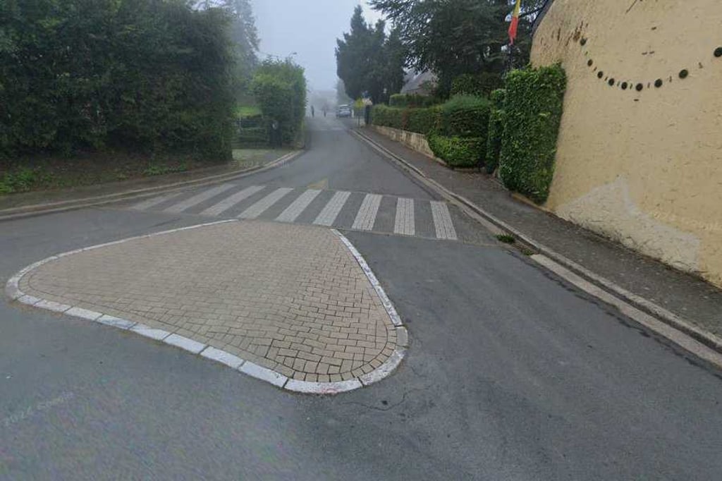
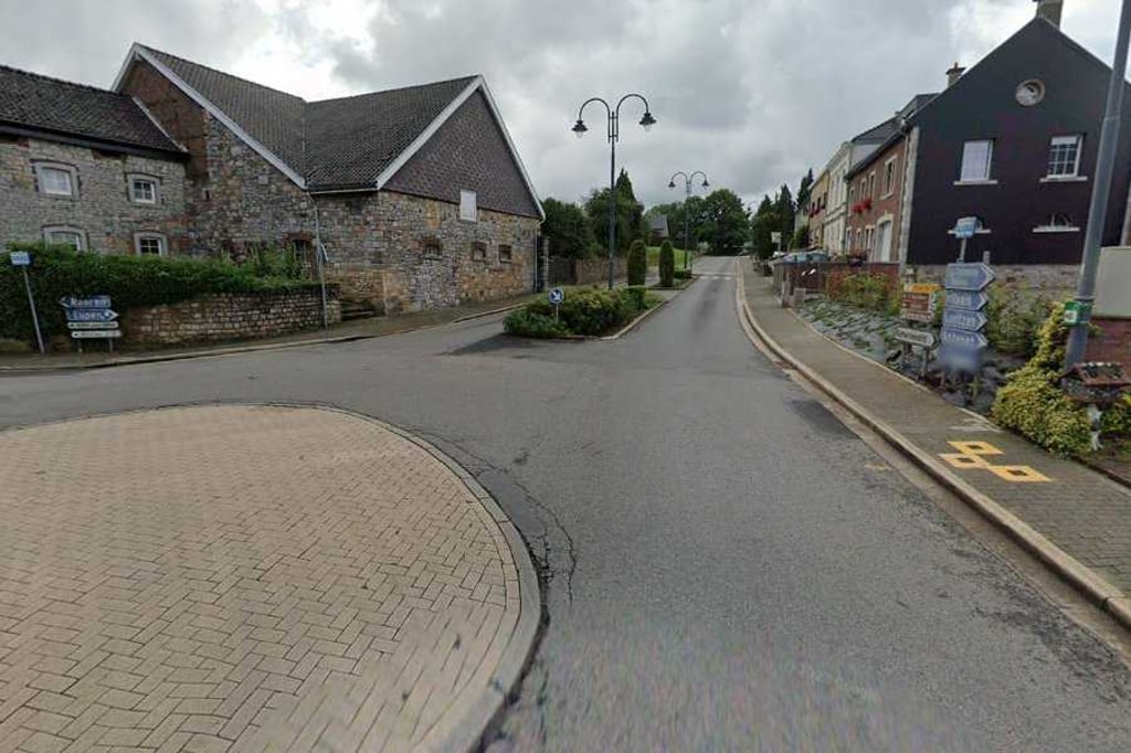
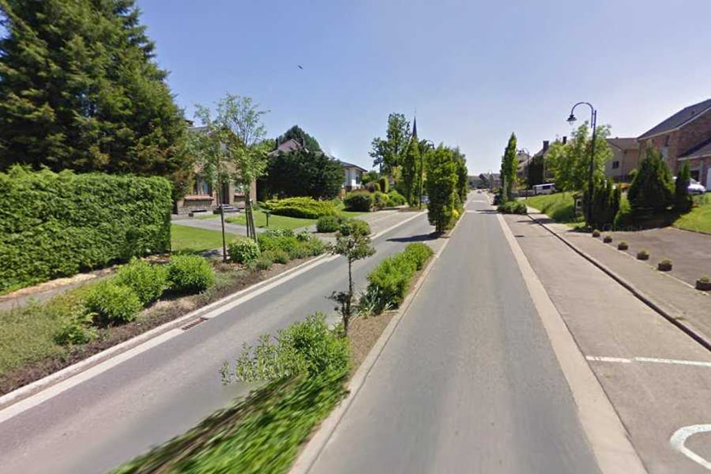
Past the church, it rises fairly evenly but certainly palpably along Walhorn's main street. A little further on, you turn right after which it is soon cycling out. If you keep following the road after the climb, a nice stretch does follow.

Langs de kerk loopt het redelijk gelijkmatig maar zeker voelbaar op over de hoofdstraat van Walhorn. Iets verderop ga je rechtsaf waarna het al snel uitfietsen is. Als je na de klim de weg blijft volgen, volgt er wel een mooi traject.

Dashboard

Climbing times

7 km/h 00:05:32
11 km/h 00:03:31
15 km/h 00:02:35
19 km/h 00:02:02

Road surface condition

0% 0% 0%
Based on 0 votes
Share your knowledge. What was the road condition during your ascent?

Traffic

0% 0% 0%
Based on 0 votes
Your experience counts. How much traffic did you encounter during the climb?

Frequently Asked Questions

You don't need special gearing for Rue de la Croix / Kreuzstrasse from Walhorn. The slope isn't long or steep enough to require much shifting down. You can conquer this climb on power alone. However, a compact gearing system with a smallest front chainring of 34 and largest rear sprocket of 28 or 30 is always nice if you enjoy cycling uphill. This helps maintain a smooth cadence.

Rue de la Croix / Kreuzstrasse from Walhorn is not tough enough to be assigned a mountain category. This means that even untrained cyclists can reach the top without any problems on this climb.

Rue de la Croix / Kreuzstrasse from Walhorn is 0.6 km long.

The average gradient of Rue de la Croix / Kreuzstrasse from Walhorn is 2.8%.

Rue de la Croix / Kreuzstrasse from Walhorn has a steepest segment with an average gradient of 5.6%.

The summit of Rue de la Croix / Kreuzstrasse from Walhorn is at 281 m.

At a slow pace of 7 km/h, it takes about 00:05:32 to climb Rue de la Croix / Kreuzstrasse from Walhorn. At 11 km/h the time is 00:03:31, and at 15 km/h 00:02:35. For the fastest cyclists, 00:02:02 is an achievable time.

Rue de la Croix / Kreuzstrasse from Walhorn is located in the region High Fens & East Cantons in Belgium.

This page is better in the app

Climbfinder app
Climbfinder
(Free)
Open