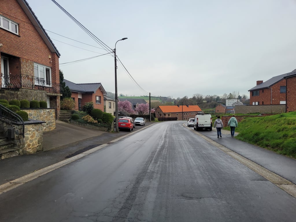
Rue de Hombourg from Montzen is a climb in the region Pays de Herve. It is 2.9 km long and bridges 61 m of vertical ascent with an average gradient of 2.1%, resulting in a difficulty score of 30. The top of the ascent is located at 250 m above sea level. Climbfinder users shared 4 reviews of this climb and uploaded 11 photos.
Road name: Rue de Hombourg
3.0 by JarinThis is an automatic translation, the original language is: Dutch.Nice long-distance climb with nice views. Halfway up the climb you have a nice view of what is to come.... read more

Welcome! Please activate your account if you would like to share something. Look for the verification email in your inbox.
If you want to upload your photos, you need to create an account. It only takes 1 minute and it's completely free.
Nice long-distance climb with nice views. Halfway up the climb you have a nice view of what is to come.
Mooie langstrekkende klim met mooie uitzichten. Halverwege de klim heb je een mooi uitzicht op wat nog komen gaat.
Gradual climb along continuous road. Not particularly interesting but scenically not too bad. Traffic not too bad either.
Geleidelijke klim over doorlopende weg. Niet bijster interessant maar landschappelijk valt het wel mee. Verkeer valt ook verbazend mee.
Climb of 2 km on the main road from Montzen to Hombourg. In terms of traffic it is not so bad. Steepest parts are at the beginning and middle of the climb. This last steep part with the approach via the bends can be seen from far away when you get outside the built-up area.
Klim van 2 kilometer over de doorgaande weg van Montzen naar Hombourg. V.w.b. verkeersdrukte valt het enorm mee. Steilste delen zitten aan begin en midden in de klim. Dit laatste steile stuk met aanloop via de bochten zie je al van ver liggen als je buiten de bebouwing komt.
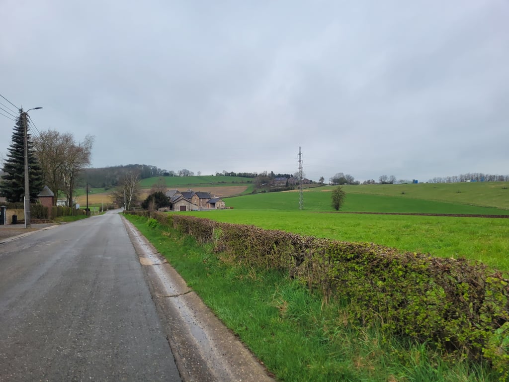
In terms of climbing, only the first half is interesting. From a stream valley it goes straight up between the houses. After the bend it descends a bit where you see a big part of the "real" climb in front of you. Further on, the road goes up again with the best part at the swing just before the top. After that, the road goes up and down a bit. The highest point is difficult to determine but you realise that you are there when the road suddenly starts to descend again. In the second part, there are some beautiful views.
Qua klimmen is alleen de eerste helft interessant maar om elders te komen zal je toch de weg moeten volgen. Vanuit een beekdal gaat het tussen de huizen meteen lekker omhoog. Na de bocht een stukje afdalen waarbij je een groot deel van de "echte" klim voor je ziet. Landschappelijk een mooi stuk maar ze zijn wel aan het bouwen dus hoe het in de toekomst zal zijn... Verderop gaat het weer goed omhoog met het leukste deel bij de slinger vlak voor de top. Daarna golft de weg enigszins op en neer. Het hoogste punt is lastig te bepalen maar je beseft dat je er bent als de weg ineens weer flink gaat dalen. In het tweede deel wel fraaie uitzichten.
| 7 km/h | 00:25:01 |
| 11 km/h | 00:15:55 |
| 15 km/h | 00:11:40 |
| 19 km/h | 00:09:13 |
This page is better in the app