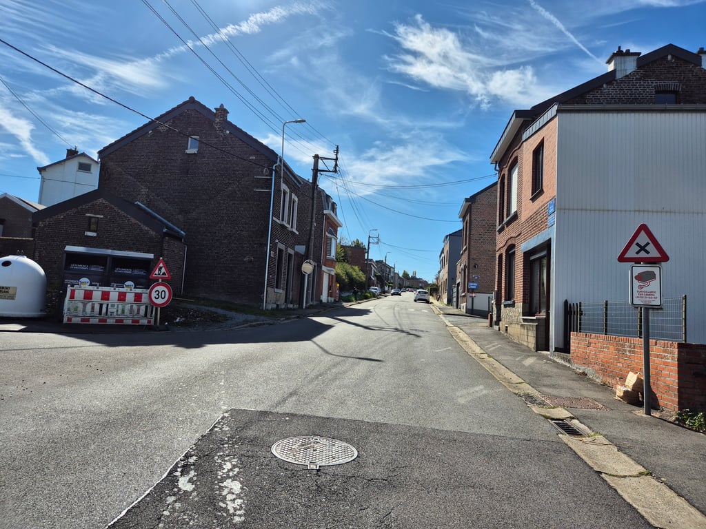
View on map
© MapLibre | OpenStreetMap contributors
1%
2%
4%
6%
8%
10%
12%
15%
20%

Côte de Beyne

3.5
2 reviews | Elevation profile | 3 photos
Tips nearby
Côte de Beyne
Côte de Beyne
Côte de Beyne
transparant thumb
transparant thumb
transparant thumb
transparant thumb
transparant thumb
Your achievable time
Calculating based on your best performances...
Relaxed
Maximum
W/kg
W/kg
W/kg
Analyse your climbing performance
Detailed insight into your climbing performance & automatically check off climbs
Based on your best performances.
Your best attempt:
Number of attempts:
Elevation profile Côte de Beyne

Statistics

Difficulty points 80
Length 3.3 km
Average gradient 4.8%
Steepest 100 metres 6.5%
Total ascent 157 m

Short recap

2 hairpin turns
#80 toughest climb of Pays de Herve
#29 most elevation gain of Pays de Herve
#51 longest climb of Pays de Herve
Feedback about this climb?
Show climbs nearby Export to GPS device

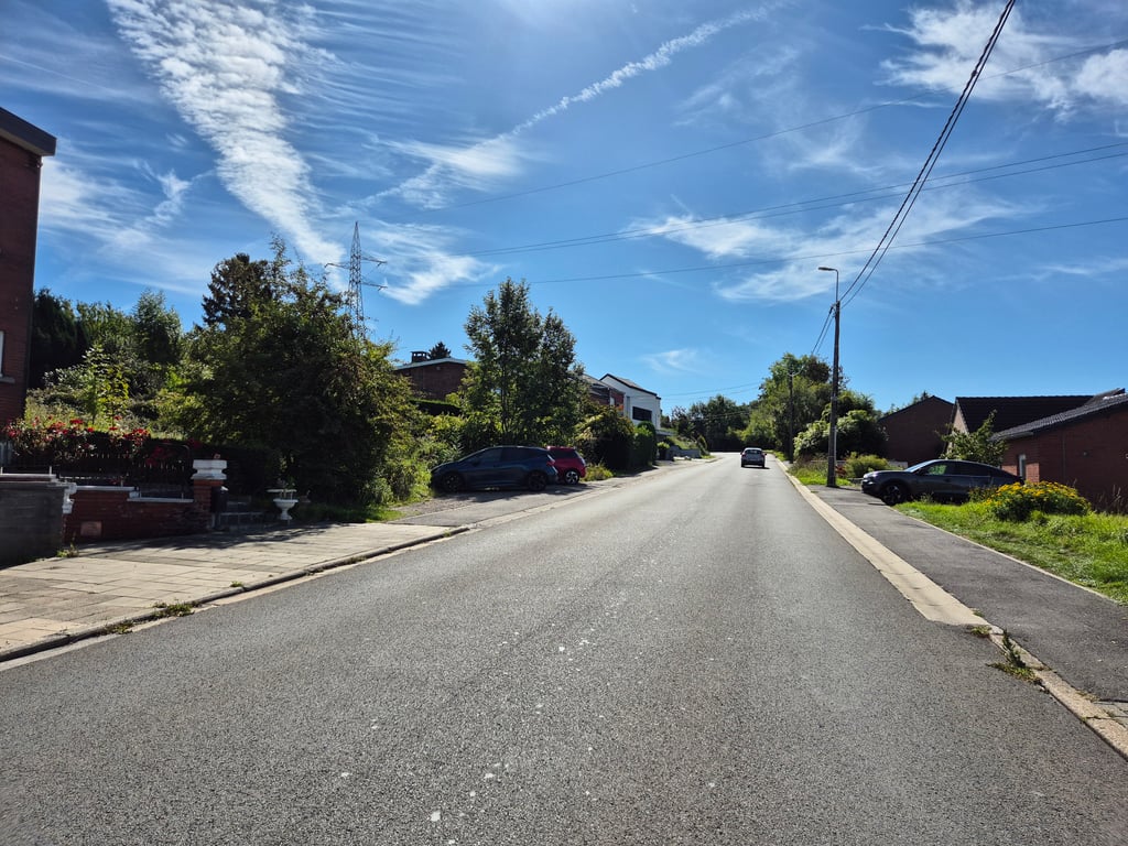
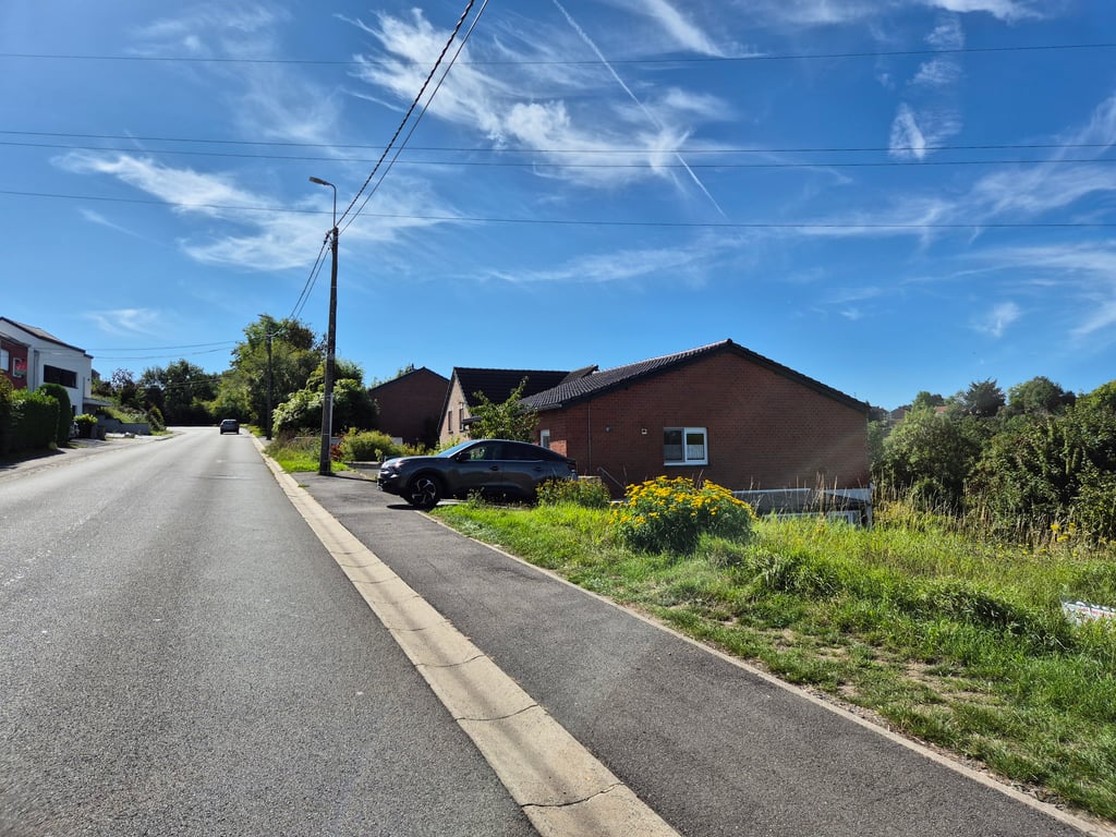
Côte de Beyne is a climb in the region Pays de Herve. It is 3.3 km long and bridges 157 m of vertical ascent with an average gradient of 4.8%, resulting in a difficulty score of 80. The top of the ascent is located at 233 m above sea level. Climbfinder users shared 2 reviews of this climb and uploaded 3 photos.

Road names: Rue de Beyne & Rue de Jupille

This is an automatic translation, the original language is: Dutch.
Well, it's a climb between houses so it's not really pretty. But if you need to get from A to B, it's not a terrible obstacle. Friendly percentages, fine road surface and some nice curves. When I rode there (Friday night) it was very crowded which made it a bit less enjoyable.... read more

Photos (3)

Côte de Beyne
Côte de Beyne
Côte de Beyne
transparant thumb
transparant thumb
transparant thumb

Your uploads (max 4)

Welcome! Please activate your account if you would like to share something. Look for the verification email in your inbox.

If you want to upload your photos, you need to create an account. It only takes 1 minute and it's completely free.

  • Receive free climbfinder goodies for your reviews & photos.
  • Create a bucket list and check off conquered climbs.
  • Add missing climbs.
Continue with GoogleContinue with Google Continue with FacebookContinue with Facebook Continue with AppleContinue with Apple Sign up with email
By signing up you agree to our terms of service and confirm that you have read our privacy & content policy.

Reviews (2)

5.0
4.0
3.0
2.0
1.0
JurneSleddens
1 y 3.0
This is an automatic translation, the original language is: Dutch. Show original

Well, it's a climb between houses so it's not really pretty. But if you need to get from A to B, it's not a terrible obstacle. Friendly percentages, fine road surface and some nice curves. When I rode there (Friday night) it was very crowded which made it a bit less enjoyable.

Tja, het is een beklimming tussen de huizen dus dat is niet echt fraai. Maar als je van A naar B moet is het niet een erg obstakel. Vriendelijke percentages, prima wegdek en wat leuke bochten. Toen ik er reed (vrijdagavond) was het erg druk wat het wat minder fijn maakte.

Dashboard
Jelleblack
1 y 4.0
This is an automatic translation, the original language is: Dutch. Show original

Ascent with virtually no traffic and good road surface that climbs evenly through a built-up street with a very short few hairpins between the trees where it gets a bit steeper, fun to take in

Beklimming met vrijwel geen verkeer en goed wegdek die gelijkmatig door een bebouwde straat heen klimt met wel heel kort een paar haarspelden tussen de bomen waar het wat steiler wordt, leuk om mee te pakken

Dashboard

Climbing times

7 km/h 00:27:54
11 km/h 00:17:45
15 km/h 00:13:01
19 km/h 00:10:16

Road surface condition

0% 0% 0%
Based on 0 votes
Share your knowledge. What was the road condition during your ascent?

Traffic

0% 0% 0%
Based on 0 votes
Your experience counts. How much traffic did you encounter during the climb?

Frequently Asked Questions

Côte de Beyne can be cycled from 5 sides. Rue Ernest Malvoz from Moulins-sous-Fléron is the most popular side, but the summit can also be reached via Rue de Herve from Cornillon, Côte de Grivegnée, Côte de Beyne & Côte de Fayembois.

You don't need special gearing for Côte de Beyne. The slope isn't long or steep enough to require much shifting down. You can conquer this climb on power alone. However, a compact gearing system with a smallest front chainring of 34 and largest rear sprocket of 28 or 30 is always nice if you enjoy cycling uphill. This helps maintain a smooth cadence.

Côte de Beyne is a 4th-category climb. A sprint to the top is usually not an option, and untrained riders will definitely feel it in their legs. For trained cyclists, it is a great training climb.

Côte de Beyne is 3.3 km long.

The average gradient of Côte de Beyne is 4.8%.

Côte de Beyne has a steepest segment with an average gradient of 6.5%.

The summit of Côte de Beyne is at 233 m.

At a slow pace of 7 km/h, it takes about 00:27:54 to climb Côte de Beyne. At 11 km/h the time is 00:17:45, and at 15 km/h 00:13:01. For the fastest cyclists, 00:10:16 is an achievable time.

Côte de Beyne is located in the region Liège Province in Belgium.

This page is better in the app

Climbfinder app
Climbfinder
(Free)
Open