| Hidden gem |
| #24 toughest climb of Belgium Limburg |
| #18 most elevation gain of Belgium Limburg |
| #15 longest climb of Voer-Region |
| #91 average steepest climb of Belgium Limburg |
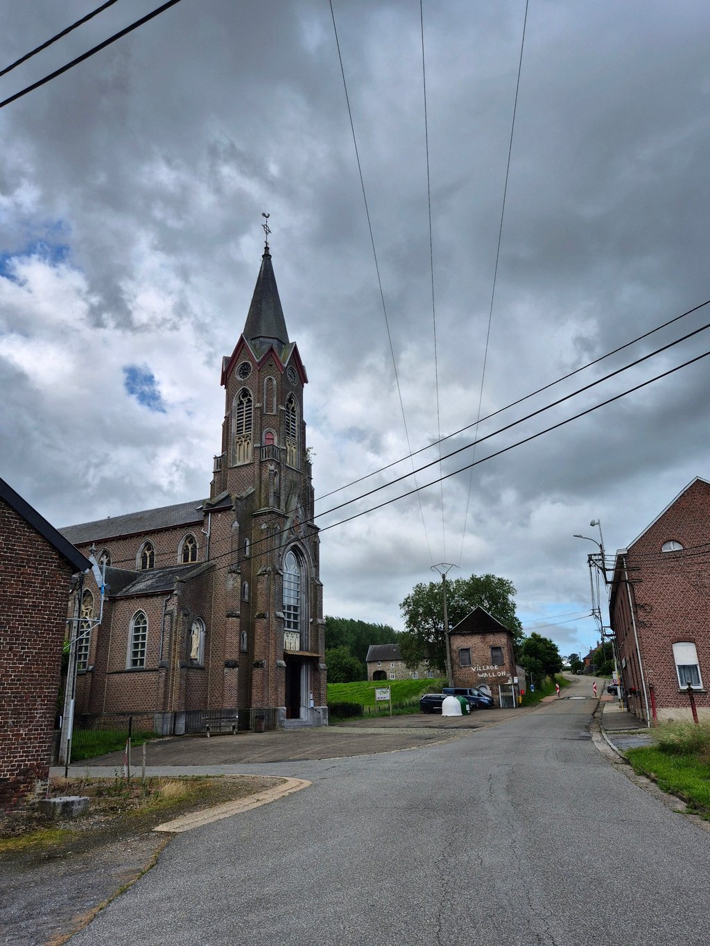
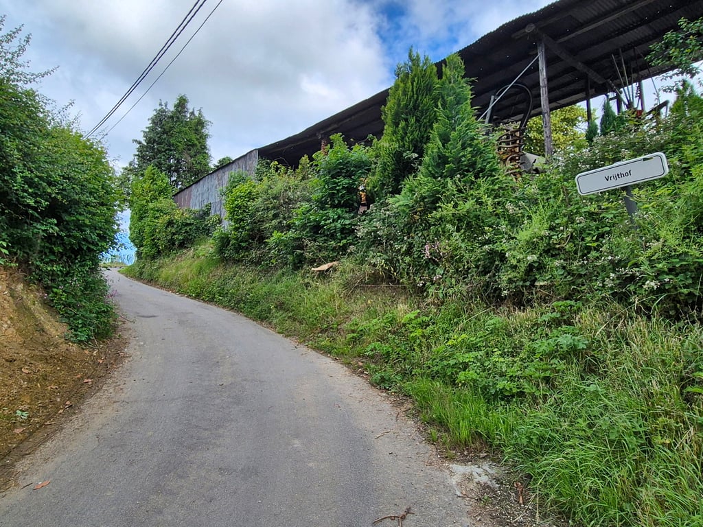
Rozengaerden via Pontus is a climb in the region Voer-Region. It is 1.3 km long and bridges 62 m of vertical ascent with an average gradient of 4.8%, resulting in a difficulty score of 33. The top of the ascent is located at 262 m above sea level. Climbfinder users shared 2 reviews of this climb and uploaded 12 photos.
Road names: Clermontshof, Pontus & Rozengaerden
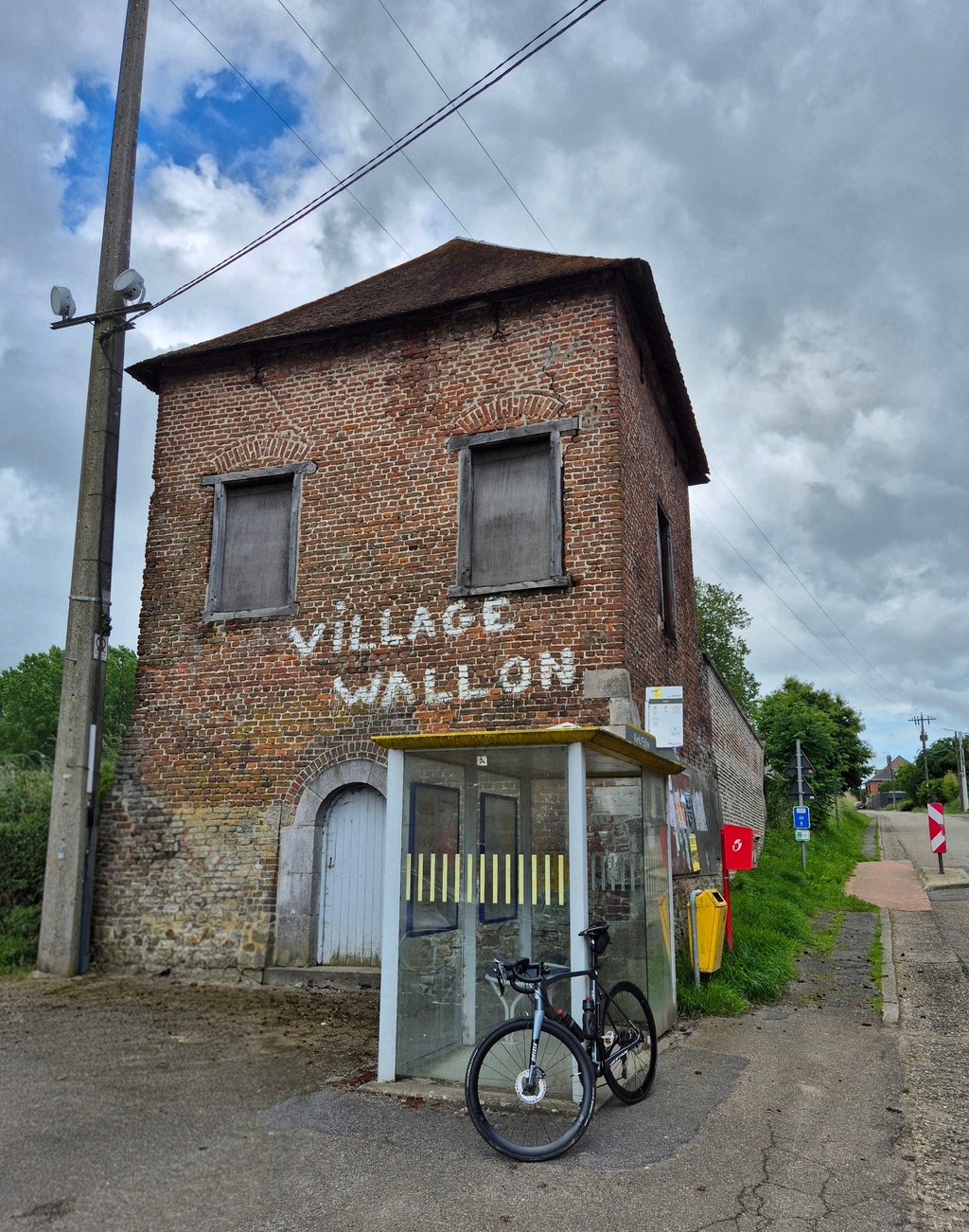
3.0 by BikerJohanThis is an automatic translation, the original language is: Dutch.One of three options to go up through the built-up area of Remersdaal to the N-648. Just a nice little climb and, outside the village, straight through the wielanden with varying gradients. ... read more
Welcome! Please activate your account if you would like to share something. Look for the verification email in your inbox.
If you want to upload your photos, you need to create an account. It only takes 1 minute and it's completely free.
One of three options to go up through the built-up area of Remersdaal to the N-648. Just a nice little climb and, outside the village, straight through the wielanden with varying gradients.
Een van de drie mogelijkheden om via de bebouwing van Remersdaal omhoog te gaan naar de N-648. Gewoon een lekker klimmetje en buiten het dorp dwars door de wielanden met wisselende stijgingspercentages.
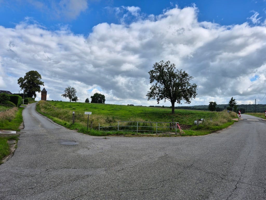
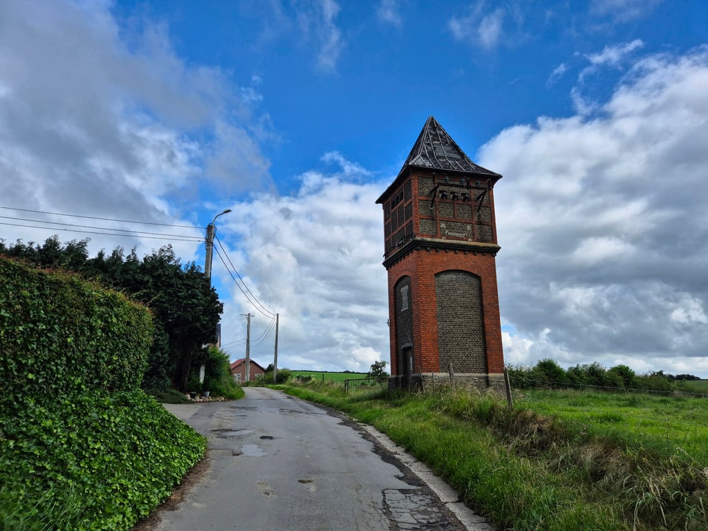
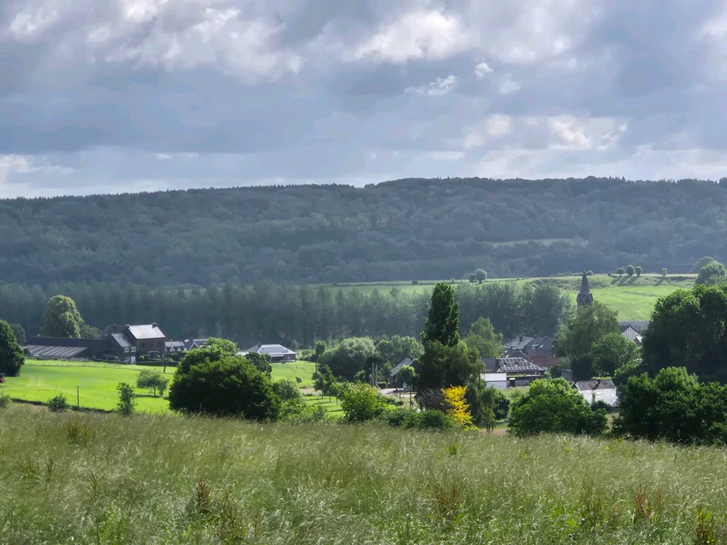
Varied climb through agricultural area and over deserted small roads. Unfortunately with moderate asphalt but there is almost always a good track to find. The percentages vary considerably, with the steepest part when you turn right at the T-junction. That's a really tough turn but the steep bit is only short. Nice views at the top, especially backwards towards Remersdaal.
Gevarieerde klim door agrarisch gebied en over uitgestorven kleine weggetjes. Helaas wel met matig asfalt maar er is vrijwel altijd wel een goed spoor te vinden. De percentages variëren behoorlijk, met het steilste stuk als je op de T-splitsing rechtsaf ben geslagen. Dat is echt een pittig bochtje maar het steile stukje is maar kort. Bovenin mooie uitzichten, vooral naar achteren richting Remersdaal.
| 7 km/h | 00:11:10 |
| 11 km/h | 00:07:06 |
| 15 km/h | 00:05:12 |
| 19 km/h | 00:04:06 |
This page is better in the app