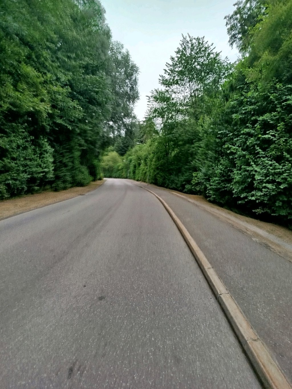
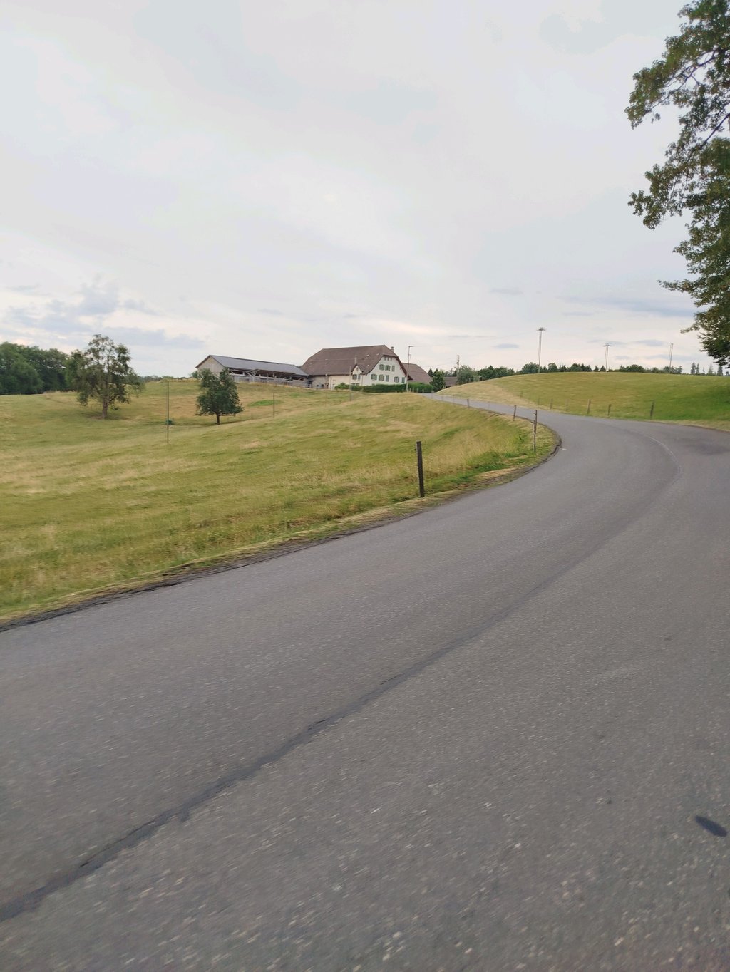
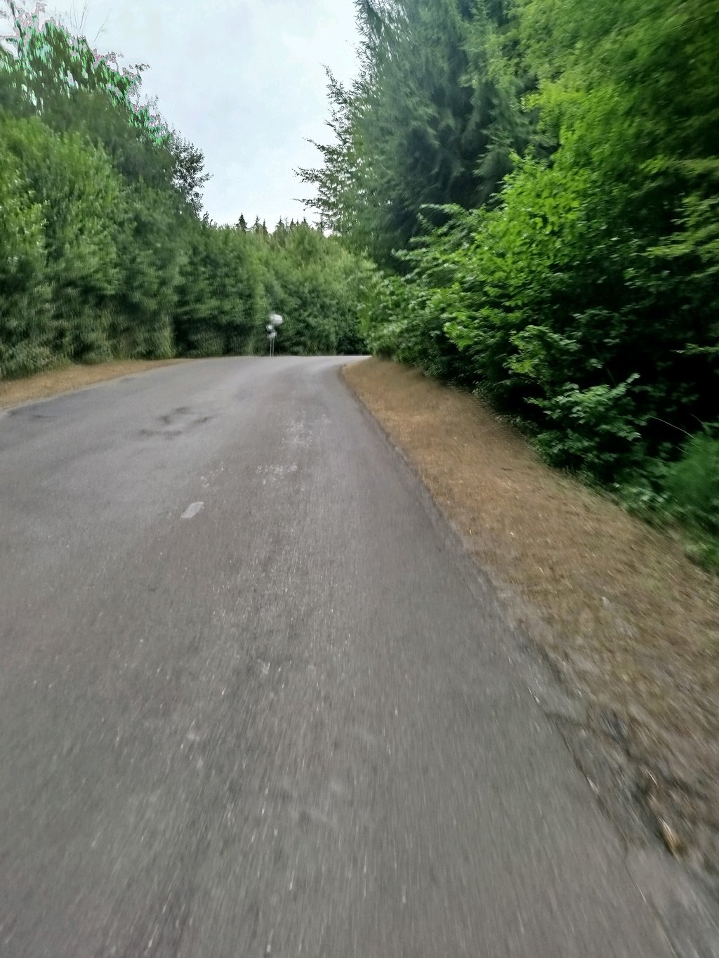
Route du Chalet-Boverat from Montheron is a climb in the region Vaud. It is 3.3 km long and bridges 152 m of vertical ascent with an average gradient of 4.6%, resulting in a difficulty score of 89. The top of the ascent is located at 861 m above sea level. Climbfinder users shared 1 review/story of this climb and uploaded 3 photos.
Road names: Route de l'Abbaye, Route des Saugealles & Route du Chalet-Boverat
4.0 by GabrielThis is an automatic translation, the original language is: French.A lovely stretch of road passing through Montheron and into the Jorat Nature Park. There are a few hairpin bends and steep gradients to tackle (but nothing too difficult). Overall, it’s a peaceful and pleasant climb (with little traffic).... read more
Welcome! Please activate your account if you would like to share something. Look for the verification email in your inbox.
If you want to upload your photos, you need to create an account. It only takes 1 minute and it's completely free.
A lovely stretch of road passing through Montheron and into the Jorat Nature Park. There are a few hairpin bends and steep gradients to tackle (but nothing too difficult). Overall, it’s a peaceful and pleasant climb (with little traffic).
Belle côte passant par Montheron pour pénétrer dans le Parc Naturel du Jorat. Quelques lacets et pentes raides sont à gravir (mais rien de difficile). Globalement une ascension calme et agréable (peu de circulation)
| 7 km/h | 00:27:56 |
| 11 km/h | 00:17:46 |
| 15 km/h | 00:13:02 |
| 19 km/h | 00:10:17 |
This page is better in the app