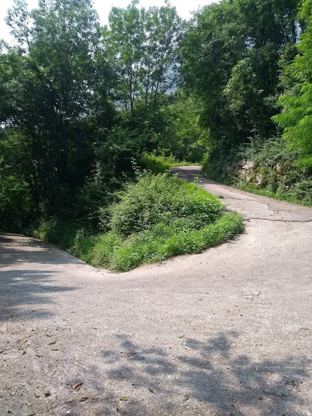
| 4 hairpin turns |
| #90 average steepest climb of Sondrio |
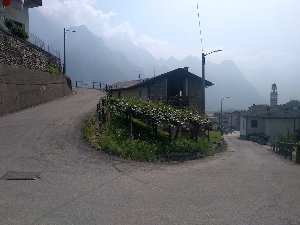
Ronscione from San Pietro is a climb in the region Sondrio. It is 2.1 km long and bridges 181 m of vertical ascent with an average gradient of 8.6%, resulting in a difficulty score of 200. The top of the ascent is located at 402 m above sea level. Climbfinder users shared 1 review/story of this climb and uploaded 5 photos.
Road names: Via Tonaia & Via alle Prese
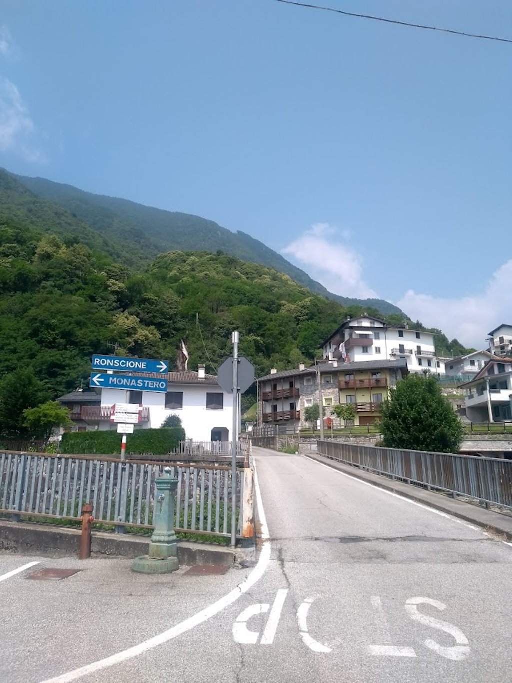
2.0 by patrickbaertThis is an automatic translation, the original language is: Dutch.Two short sturdy bumps start from San Pietro, reached via the narrow bridge over the Mera River, with alternating one-way traffic regulated by traffic lights. The least steep one (relatively, given max of 16 pct) runs fairly straight loose through the village with a very steep hairpin turn to the right at the back after a bridge over the mountain river to the inhabited plateau of the hamlet of Ronscione. Once past the last house, left traffic-free up the forest flank for the last 800 metres of... read more
Welcome! Please activate your account if you would like to share something. Look for the verification email in your inbox.
If you want to upload your photos, you need to create an account. It only takes 1 minute and it's completely free.
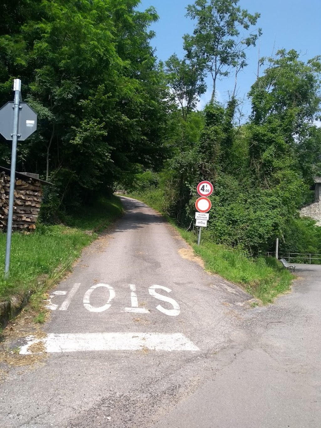
Two short sturdy bumps start from San Pietro, reached via the narrow bridge over the Mera River, with alternating one-way traffic regulated by traffic lights.
The least steep one (relatively, given max of 16 pct) runs fairly straight loose through the village with a very steep hairpin turn to the right at the back after a bridge over the mountain river to the inhabited plateau of the hamlet of Ronscione.
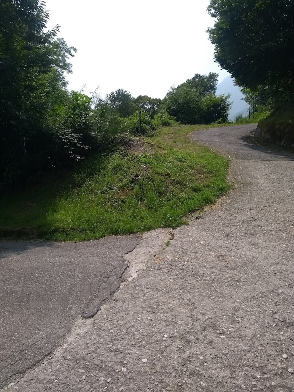
Once past the last house, left traffic-free up the forest flank for the last 800 metres of very tough climbing on poor tarmac.
Road stops in the middle of nowhere.
Supply in the village,water source at the church.
Take it as a challenge!
Er starten twee korte stevige kuitenbijters vanuit San Pietro, bereikbaar via de smalle brug over de Mera rivier, met door verkeerslichten geregeld alternerend éénrichtingsverkeer.
De minst steile (relatief, gezien max van 16 pct) loopt vrij recht los door het dorp met achteraan na een brug over de bergrivier rechtsdraaiende zeer steile haarspeldbocht naar bewoont plateau van het gehucht Ronscione.
Eens het laatste huis voorbij, links verkeersvrij de woudflank op voor de laatste 800 meter zeer stevig klimwerk op slecht asfalt.
Weg stopt in het niets.
Bevoorrading in het dorpje,waterbron aan de kerk.
Meepikken als uitdaging!
| 7 km/h | 00:18:03 |
| 11 km/h | 00:11:29 |
| 15 km/h | 00:08:25 |
| 19 km/h | 00:06:39 |
This page is better in the app