View on map
© MapLibre | OpenStreetMap contributors
1%
2%
4%
6%
8%
10%
12%
15%
20%

Rodeberg from Muggenbergloop

1.7
3 reviews | Elevation profile | 1 photo
Tips nearby
Rodeberg from Muggenbergloop
transparant thumb
transparant thumb
transparant thumb
transparant thumb
transparant thumb
transparant thumb
transparant thumb
Your achievable time
Calculating based on your best performances...
Relaxed
Maximum
W/kg
W/kg
W/kg
Analyse your climbing performance
Detailed insight into your climbing performance & automatically check off climbs
Based on your best performances.
Your best attempt:
Number of attempts:
Elevation profile Rodeberg from Muggenbergloop

Statistics

Difficulty points 6
Length 0.3 km
Average gradient 4%
Steepest 100 metres 6.6%
Total ascent 11 m
Feedback about this climb?
Show climbs nearby Export to GPS device

Rodeberg from Muggenbergloop is a climb in the region Hageland. It is 0.3 km long and bridges 11 m of vertical ascent with an average gradient of 4%, resulting in a difficulty score of 6. The top of the ascent is located at 31 m above sea level. Climbfinder users shared 3 reviews of this climb and uploaded 1 photo.

Road name: Hollestraat
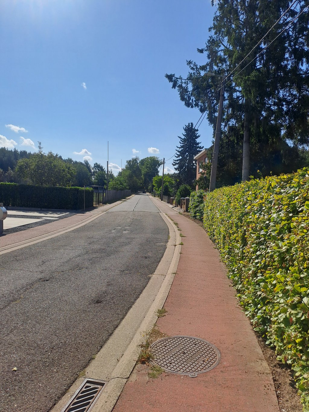
1.0 by WouterDK
This is an automatic translation, the original language is: Dutch.
Discouraged by the very bad, narrow and dirty cycle path. On the descent, we rode on the road anyway.... read more

Photos (1)

Rodeberg from Muggenbergloop
transparant thumb
transparant thumb
transparant thumb
transparant thumb
transparant thumb

Your uploads (max 4)

Welcome! Please activate your account if you would like to share something. Look for the verification email in your inbox.

If you want to upload your photos, you need to create an account. It only takes 1 minute and it's completely free.

  • Receive free climbfinder goodies for your reviews & photos.
  • Create a bucket list and check off conquered climbs.
  • Add missing climbs.
Continue with GoogleContinue with Google Continue with FacebookContinue with Facebook Continue with AppleContinue with Apple Sign up with email
By signing up you agree to our terms of service and confirm that you have read our privacy & content policy.

Reviews (3)

5.0
4.0
3.0
2.0
1.0
WouterDK
3 w 1.0 via the Climbfinder app
This is an automatic translation, the original language is: Dutch. Show original

Discouraged by the very bad, narrow and dirty cycle path. On the descent, we rode on the road anyway.

Af te raden door het zeer slechte, smalle en vuile fietspad. In de afdaling toch maar op de weg gereden.

Dashboard
Andre
9 Mo 1.0
This is an automatic translation, the original language is: Dutch. Show original

Along this side too, this mini bergope does not amount to much. Poor cycle path and very narrow. Without any problems you ride the big plateau to the top.

Ook langs deze kant stelt dit mini bergope weinig voor. Slecht fietspad en heel smal. Zonder problemen rij je met de grote plateau naar boven.

Dashboard
Glen_Solana
1 y 3.0
This is an automatic translation, the original language is: Dutch. Show original

Coming from Langdorp, Mechelsebaan already slopes up a bit before you turn right into Hollestraat.
Bicycle path with clinkers next to the lane. Once you have picked up some speed, you notice that you are already at the top.

Als je vanuit Langdorp komt, loopt de Mechelsebaan al wat op, vooraleer je rechts de Hollestraat inrijdt.
Fietspad met klinkers naast de rijbaan. Eens je wat snelheid hebt gemaakt, merk je dat je al boven bent.

Dashboard

Climbing times

7 km/h 00:02:17
11 km/h 00:01:27
15 km/h 00:01:04
19 km/h 00:00:50

Road surface condition

0% 100% 0%
Based on 1 vote
Share your knowledge. What was the road condition during your ascent?

Traffic

0% 100% 0%
Based on 1 vote
Your experience counts. How much traffic did you encounter during the climb?

Frequently Asked Questions

Rodeberg can be cycled from 2 sides. Rodeberg from Muggenbergloop is the most popular side, but the summit can also be reached via Rodeberg from Terstelt.

You don't need special gearing for Rodeberg from Muggenbergloop. The slope isn't long or steep enough to require much shifting down. You can conquer this climb on power alone. However, a compact gearing system with a smallest front chainring of 34 and largest rear sprocket of 28 or 30 is always nice if you enjoy cycling uphill. This helps maintain a smooth cadence.

Rodeberg from Muggenbergloop is not tough enough to be assigned a mountain category. This means that even untrained cyclists can reach the top without any problems on this climb.

Rodeberg from Muggenbergloop is 0.3 km long.

The average gradient of Rodeberg from Muggenbergloop is 4%.

Rodeberg from Muggenbergloop has a steepest segment with an average gradient of 6.6%.

The summit of Rodeberg from Muggenbergloop is at 31 m.

At a slow pace of 7 km/h, it takes about 00:02:17 to climb Rodeberg from Muggenbergloop. At 11 km/h the time is 00:01:27, and at 15 km/h 00:01:04. For the fastest cyclists, 00:00:50 is an achievable time.

Rodeberg from Muggenbergloop is located in the region Flemish Brabant in Belgium.

This page is better in the app

Climbfinder app
Climbfinder
(Free)
Open