Tips nearby


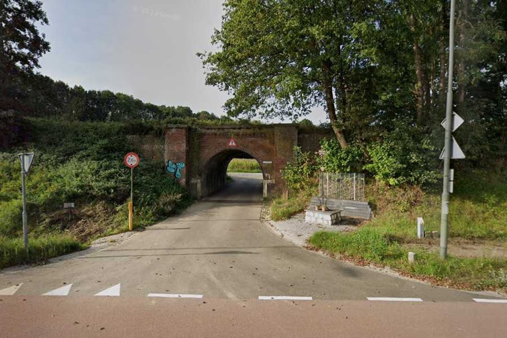
Rischerkuijlerweg is a climb in the region South Limburg. It is 0.5 km long and bridges 14 m of vertical ascent with an average gradient of 3%, resulting in a difficulty score of 5. The top of the ascent is located at 168 m above sea level. Climbfinder users shared 2 reviews of this climb and uploaded 1 photo.
Road name: Rischerkuijlerweg
2.0 by FedorThis is an automatic translation, the original language is: Dutch.Formerly a gravel road and now a paved cycle path. Runs up through beautiful surroundings. At the highest point, a bench with a view.... read more
Welcome! Please activate your account if you would like to share something. Look for the verification email in your inbox.
If you want to upload your photos, you need to create an account. It only takes 1 minute and it's completely free.
Formerly a gravel road and now a paved cycle path. Runs up through beautiful surroundings. At the highest point, a bench with a view.
Vroeger een gravelweggetje en nu een verhard fietspad. Loopt door een mooie omgeving omhoog. Op het hoogste punt een bankje met uitzicht.
On the Bocholtzerweg you go thv Waalbroek via the small tunnel under the tracks of the Miljoenenlijn. There you turn onto a newly asphalted cycle path for this short climb. Until halfway up climb nicely. Then it becomes viciously flat until you turn sharply right onto Sintnicolaasweg. You ride in rural surroundings and can continue in the direction of Baneheide.
Op de Bocholtzerweg ga je thv Waalbroek via het tunneltje onder het spoor van de Miljoenenlijn door. Je gaat daar een nieuw geasfalteerd fietspad op voor deze korte klim. Tot halfverwege stijgt klim lekker door. Daarna wordt het totdat je scherp rechts de Sintnicolaasweg opgaat vals plat. Je rijdt in landelijke omgeving en kan zo richting Baneheide doorsteken.
| 7 km/h | 00:04:02 |
| 11 km/h | 00:02:34 |
| 15 km/h | 00:01:53 |
| 19 km/h | 00:01:29 |
This page is better in the app