Rhederoord is a climb in the region Veluwezoom. It is 0.4 km long and bridges 16 m of vertical ascent with an average gradient of 4%, resulting in a difficulty score of 7. The top of the ascent is located at 37 m above sea level. Climbfinder users shared 1 review/story of this climb and uploaded 1 photo.
This is an automatic translation, the original language is: Dutch.
I am starting to suspect those guys from Climbfinder are working for the Arnhem, Gelderland or Veluwe tourist board or something. They keep adding 'climbs' in Gelderland, to lure me there and tick them off. Usually they don't amount to much, but of the latest additions in and around Arnhem, I do find some rightly catalogued as climbs, but then you have this 'accumulation. Some 'climbs' on climbfinderen I did review with the comments that I know viaducts and ramps hu...read more
Photos (1)
Welcome! Please activate your account if you would like to share something. Look for the verification email in your inbox.
This is an automatic translation, the original language is: Dutch.
Show original
I am starting to suspect those guys from Climbfinder are working for the Arnhem, Gelderland or Veluwe tourist board or something. They keep adding 'climbs' in Gelderland, to lure me there and tick them off. Usually they don't amount to much, but of the latest additions in and around Arnhem, I do find some rightly catalogued as climbs, but then you have this 'accumulation. Some 'climbs' on climbfinderen I did review with the comments that I know viaducts and ramps hurt the legs more.
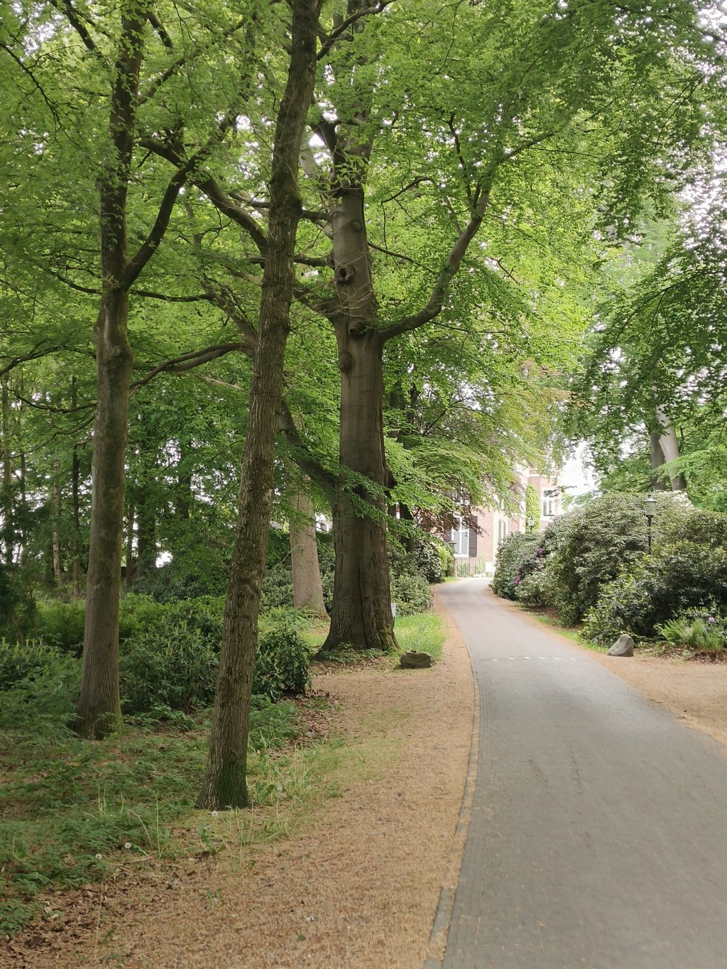
And yes, this is effectively a driveway of a hotel (so maybe someone working in the tourism department after all?). Heavy you can't call this one. Although it goes up a bit on so-called flints. You get to the top in no time and don't even have to switch gears for it. At the top you have the hotel car park, which is made up of pebbles and therefore not cyclable?
Is this something you must have done? Well yes, it probably is if you're staying at the hotel or want to have something to eat there. And yes, if you are a check-out person. And well, I am a tick-boxer....
Ik begin die kerels van Climbfinder er stilaan van te verdenken voor de toeristische dienst van Arnhem, Gelderland of de Veluwe te werken of zo. Ze blijven in Gelderland maar 'klimmetjes' bij vinden, om me naar aldaar te lokken en af te vinken. Doorgaans stellen ze niet veel voor, maar van de laatste toevoegingen in en rond Arnhem vind ik er wel enkele terecht te catalogeren als klimmetjes, maar dan heb je deze 'ophoping. Sommige 'klimmen' op climbfinderen heb ik wel eens gereviewd met de bemerkingen dat ik viaducten en opritten ken, die meer pijn doen aan de benen.
En ja, dit is effectief een oprit.. van een hotel (dus misschien toch iemand werkzaam bij de toeristische dienst?). Zwaar kan je dit niet noemen. Hoewel het een beetje omhoog loopt op zogenaamde flinten. Je bent zo boven en hoeft er zelfs niet voor te schakelen. Boven heb je de parking van het hotel en die bestaat uit steentjes en is dus niet befietsbaar?
Is dit iets dat je moet gedaan hebben? Wel ja, waarschijnlijk wel als je in het hotel logeert of er iets wil gaan eten. En ja, als je een afvinker bent. En tja, ik ben een afvinker...
Share your knowledge. What was the road condition during your ascent?
Traffic
100% 0% 0%
Based on 1 vote
Your experience counts. How much traffic did you encounter during the climb?
Frequently Asked Questions
You don't need special gearing for Rhederoord. The slope isn't long or steep enough to require much shifting down. You can conquer this climb on power alone. However, a compact gearing system with a smallest front chainring of 34 and largest rear sprocket of 28 or 30 is always nice if you enjoy cycling uphill. This helps maintain a smooth cadence.
Rhederoord is not tough enough to be assigned a mountain category. This means that even untrained cyclists can reach the top without any problems on this climb.
Rhederoord is 0.4 km long.
The average gradient of Rhederoord is 4%.
Rhederoord has a steepest segment with an average gradient of 6.5%.
The summit of Rhederoord is at 37 m.
At a slow pace of 7 km/h, it takes about 00:03:23 to climb Rhederoord. At 11 km/h the time is 00:02:09, and at 15 km/h 00:01:35. For the fastest cyclists, 00:01:15 is an achievable time.