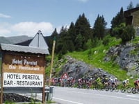
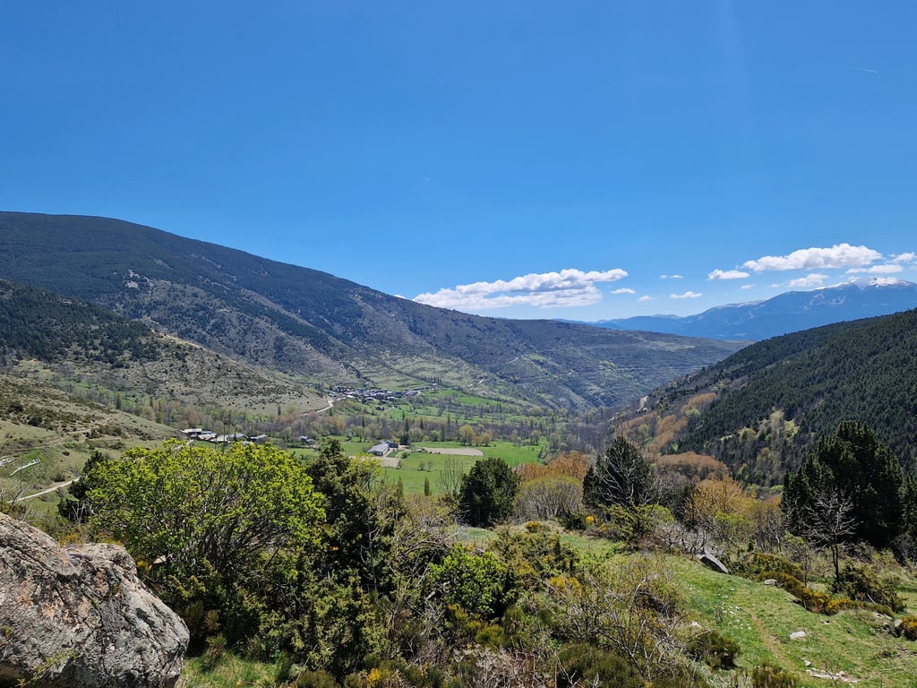
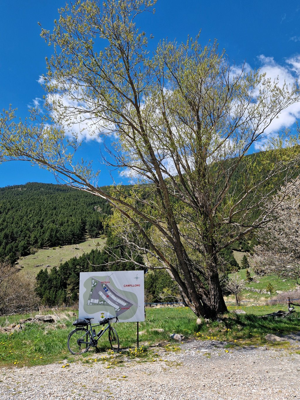
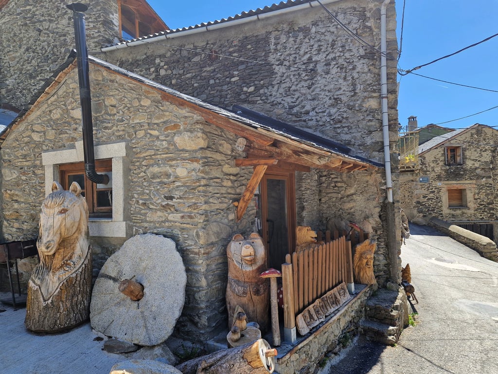
Refugio de Malniu / Bosc de les Comelles from Ger is a climb in the region Spanish Pyrenees. It is 19.5 km long and bridges 1003 m of vertical ascent with an average gradient of 5.1%, resulting in a difficulty score of 681. The top of the ascent is located at 2123 m above sea level. Climbfinder users shared 1 review/story of this climb and uploaded 4 photos.
Road names: GIV-4031, Carretera dels Estanys & Carretera dels Estanys
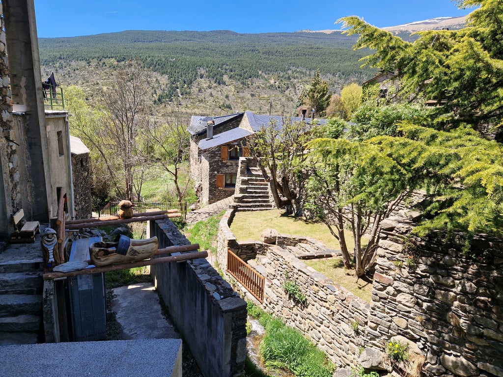
3.0 by Greg37Montée plutôt irrégulière qui vaut surtout pour le village de Meranges avec de très curieuses sculptures sur bois. En haut, beau paysage.... read more
Welcome! Please activate your account if you would like to share something. Look for the verification email in your inbox.
If you want to upload your photos, you need to create an account. It only takes 1 minute and it's completely free.
A rather uneven climb, particularly worthwhile for the village of Meranges with its curious wood carvings. Beautiful scenery at the top.
Montée plutôt irrégulière qui vaut surtout pour le village de Meranges avec de très curieuses sculptures sur bois. En haut, beau paysage.
| 7 km/h | 02:47:17 |
| 11 km/h | 01:46:27 |
| 15 km/h | 01:18:04 |
| 19 km/h | 01:01:37 |
This page is better in the app