Przysłup Pass from Załuż is a climb in the region Central Beskids. It is 6.7 km long and bridges 297 m of vertical ascent with an average gradient of 4.4%, resulting in a difficulty score of 164. The top of the ascent is located at 616 m above sea level. Climbfinder users shared 3 reviews of this climb and uploaded 6 photos.
This is an automatic translation, the original language is: Polish.
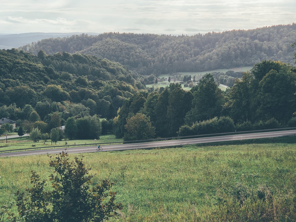
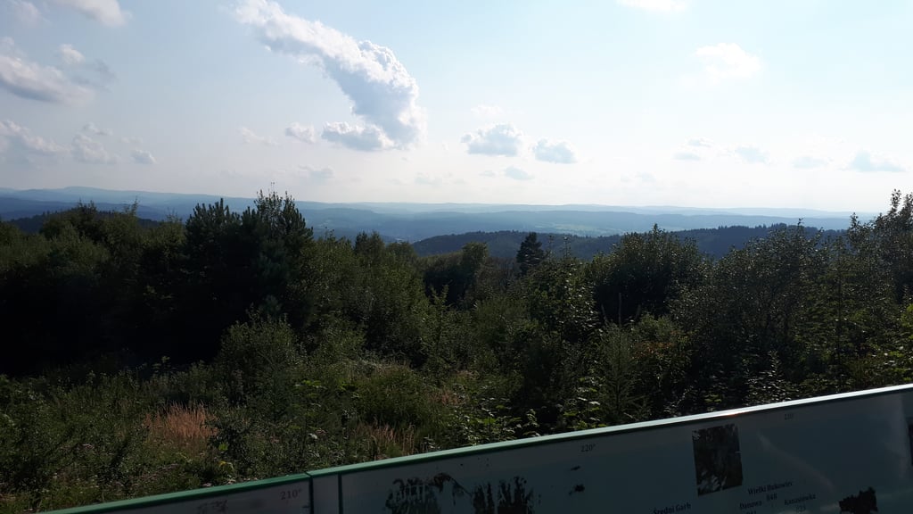
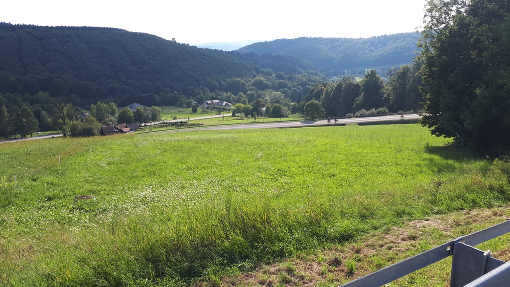
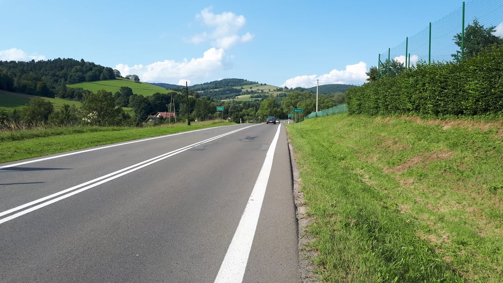
Very pleasant climb, steady, even gradient of 5%. Wide road with good asphalt. Have to watch out for motorcyclists, who can be quite numerous, especially at weekends. At the top, a viewpoint over the Słonne Mountains....read more
Photos (6)
Welcome! Please activate your account if you would like to share something. Look for the verification email in your inbox.
This is an automatic translation, the original language is: Polish.
Show original
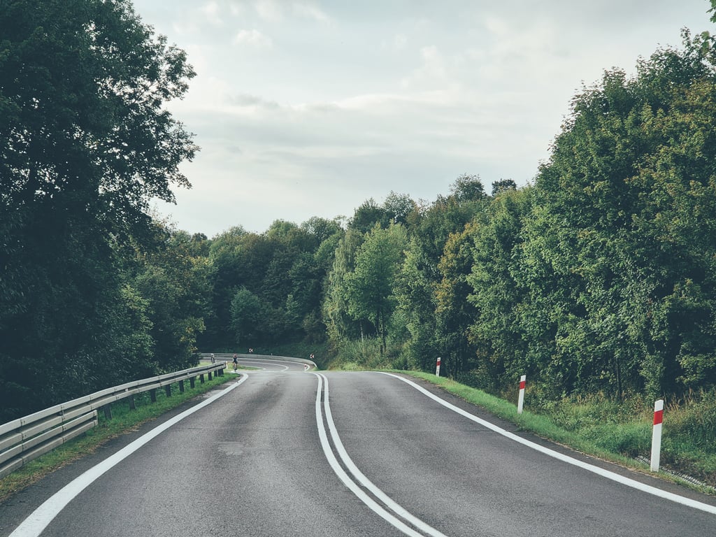
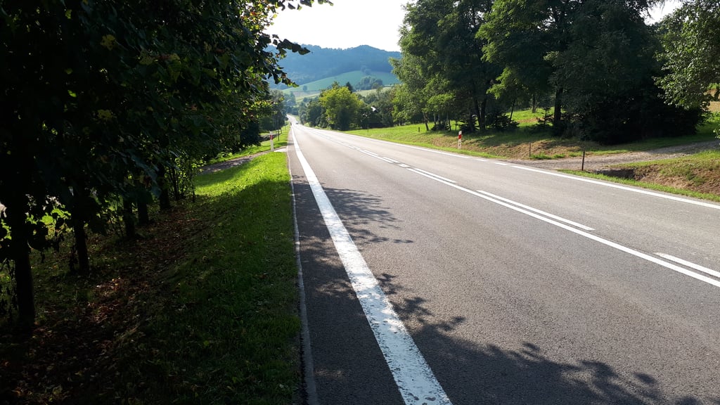
A very pleasant, not too difficult climb on the national road Sanok - Przemyśl. The fun of climbing it comes from two factors: a pleasant average gradient of about 5% and riding on serpentines - so you build up the altitude without seeing the end of the climb at any point. Before the summit, there is a bounce to a viewing point, which just happens not to be one of the sensational ones (in my opinion). If you are wondering about the safety of cycling on a national road, having cycled up this ascent several times, I paradoxically did not notice much car traffic there. Each time, however, there was a lot of motorbike traffic along the route.
Bardzo przyjemny, niezbyt trudny podjazd na drodze krajowej Sanok - Przemyśl. Frajda jego pokonywania wynika z dwóch czynników: przyjemnego średniego nachylenia ok. 5% oraz jazdy po serpentynach - wysokość budujemy więc piętrami, nie widząc w żadnym momencie końca podjazdu. Przed szczytem znajduje się odbicie na punkt widokowy, który akurat do rewelacyjnych (moim zdaniem) nie należy. Jeśli zastanawiasz się nad bezpieczeństwem jazdy rowerem po drodze krajowej, to pokonując ten podjazd kilka razy paradoksalnie nie odnotowałem tam dużego ruchu samochodowego. Każdorazowo na trasie był natomiast spory ruch motocykli.
This is an automatic translation, the original language is: Polish.
Show original
Very pleasant climb, steady, even gradient of 5%. Wide road with good asphalt. Have to watch out for motorcyclists, who can be quite numerous, especially at weekends. At the top, a viewpoint over the Słonne Mountains.
Bardzo przyjemna wspinaczka, stałe, równe nachylenie 5%. Szeroka droga z dobrym asfaltem. Trzeba uważać na motocyklistów, których potrafi być całkiem sporo, szczególnie weekendami. Na szczycie punkt widokowy na Góry Słonne.
You don't need special gearing for Przysłup Pass from Załuż. The slope isn't long or steep enough to require much shifting down. You can conquer this climb on power alone. However, a compact gearing system with a smallest front chainring of 34 and largest rear sprocket of 28 or 30 is always nice if you enjoy cycling uphill. This helps maintain a smooth cadence.
Przysłup Pass from Załuż is a 3rd-category climb. Almost anyone can handle this climb, as long as you have a bike with climbing gears. If you have little training, you will probably need to shift down significantly. For experienced riders, Przysłup Pass from Załuż is not a problem.
Przysłup Pass from Załuż is 6.7 km long.
The average gradient of Przysłup Pass from Załuż is 4.4%.
Przysłup Pass from Załuż has a steepest segment with an average gradient of 8.6%.
The summit of Przysłup Pass from Załuż is at 616 m.
At a slow pace of 7 km/h, it takes about 00:57:32 to climb Przysłup Pass from Załuż. At 11 km/h the time is 00:36:37, and at 15 km/h 00:26:51. For the fastest cyclists, 00:21:12 is an achievable time.
Przysłup Pass from Załuż is located in the region Subcarpathia in Poland.