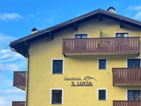
Prescedont from Isolaccia is a climb in the region Sondrio. It is 3.5 km long and bridges 389 m of vertical ascent with an average gradient of 11.1%, resulting in a difficulty score of 485. The top of the ascent is located at 1746 m above sea level. Climbfinder users shared 1 review/story of this climb and uploaded 2 photos.
2.0 by Joeri_LaureysThis is an automatic translation, the original language is: Dutch.Let's be clear right away. This is a Wall of Hoei times 2.5. With the difference that you are riding in a wooded area. The road surface is narrow and it's a dead-end climb. You ride up steep, steeper, steepest. A fun challenge, but not for Sunday climbers, for this you need to do a bit of winter miles, otherwise no summer smiles. It's a dead-end climb, which means you have to go back over the same road. And the road surface is really bad on certain stretches, so going up you can... read more
Welcome! Please activate your account if you would like to share something. Look for the verification email in your inbox.
If you want to upload your photos, you need to create an account. It only takes 1 minute and it's completely free.
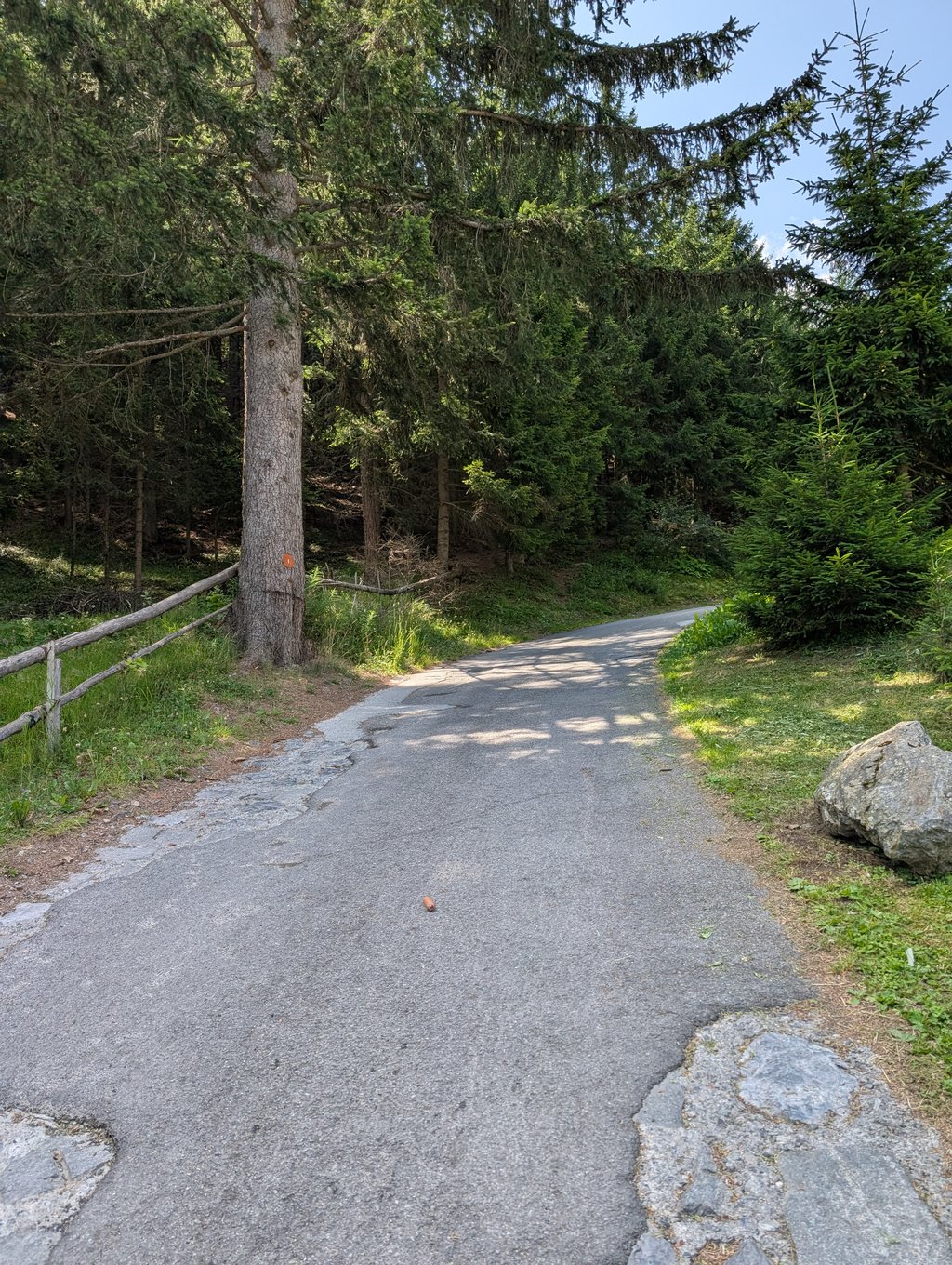
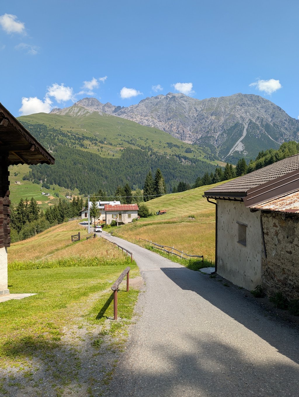
Let's be clear right away. This is a Wall of Hoei times 2.5. With the difference that you are riding in a wooded area. The road surface is narrow and it's a dead-end climb.
You ride up steep, steeper, steepest. A fun challenge, but not for Sunday climbers, for this you need to do a bit of winter miles, otherwise no summer smiles.
It's a dead-end climb, which means you have to go back over the same road. And the road surface is really bad on certain stretches, so going up you can still find a good line to ride on, but going down it is not pleasant. Still, nice to have ticked it off.
Laten we direct duidelijk zijn. Dit is een Muur van Hoei maal 2,5. Met dat verschil dat je in een bosrijke omgeving rijdt. Het wegdek is smal en het is een dead-end-klim.
Je rijdt steil, steiler, steilst naar boven. Een leuke uitdaging, maar niet voor zondags-klimmers, hier voor moet je een beetje winter miles doen, anders geen summer smiles.
Het is een dead-end-klim, waarbij je dus over dezelfde weg terug moet. En het wegdek is op bepaalde stroken echt slecht, dus naar boven vind je nog wel een goede lijn om op te rijden, maar naar beneden is het niet aangenaam. Toch leuk hem afgevinkt te hebben.
| 7 km/h | 00:29:55 |
| 11 km/h | 00:19:02 |
| 15 km/h | 00:13:58 |
| 19 km/h | 00:11:01 |
This page is better in the app