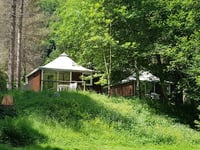
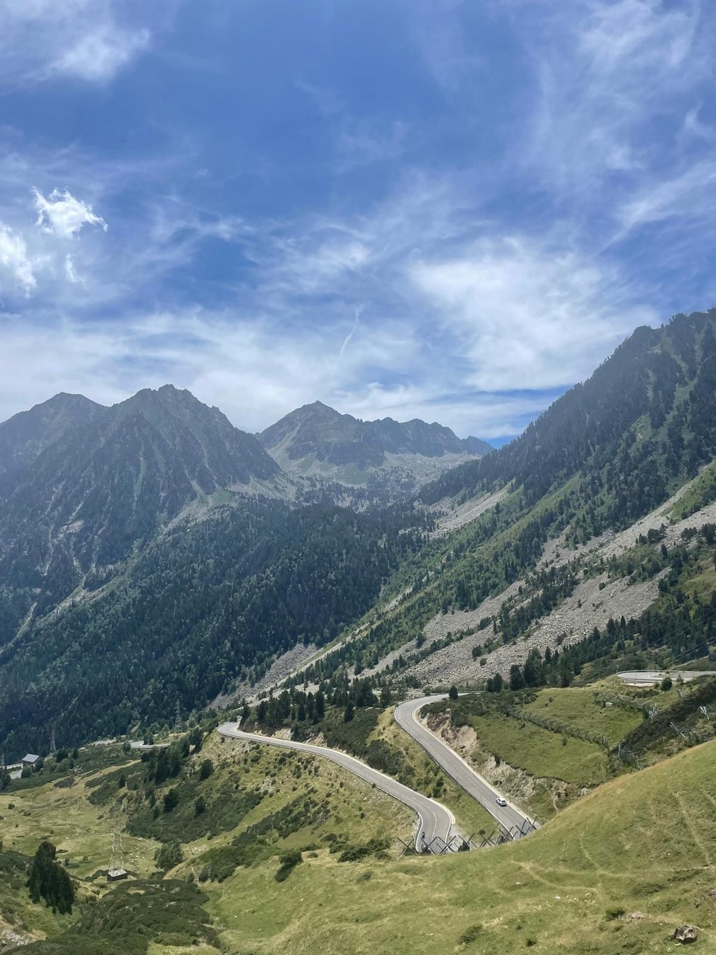
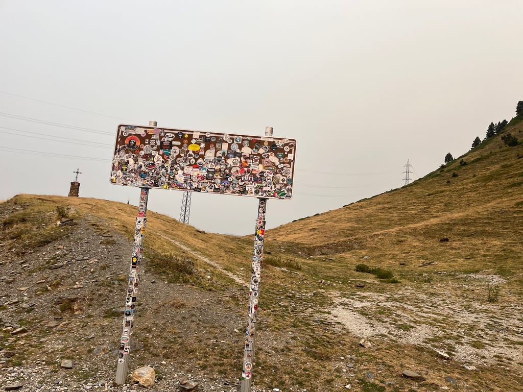
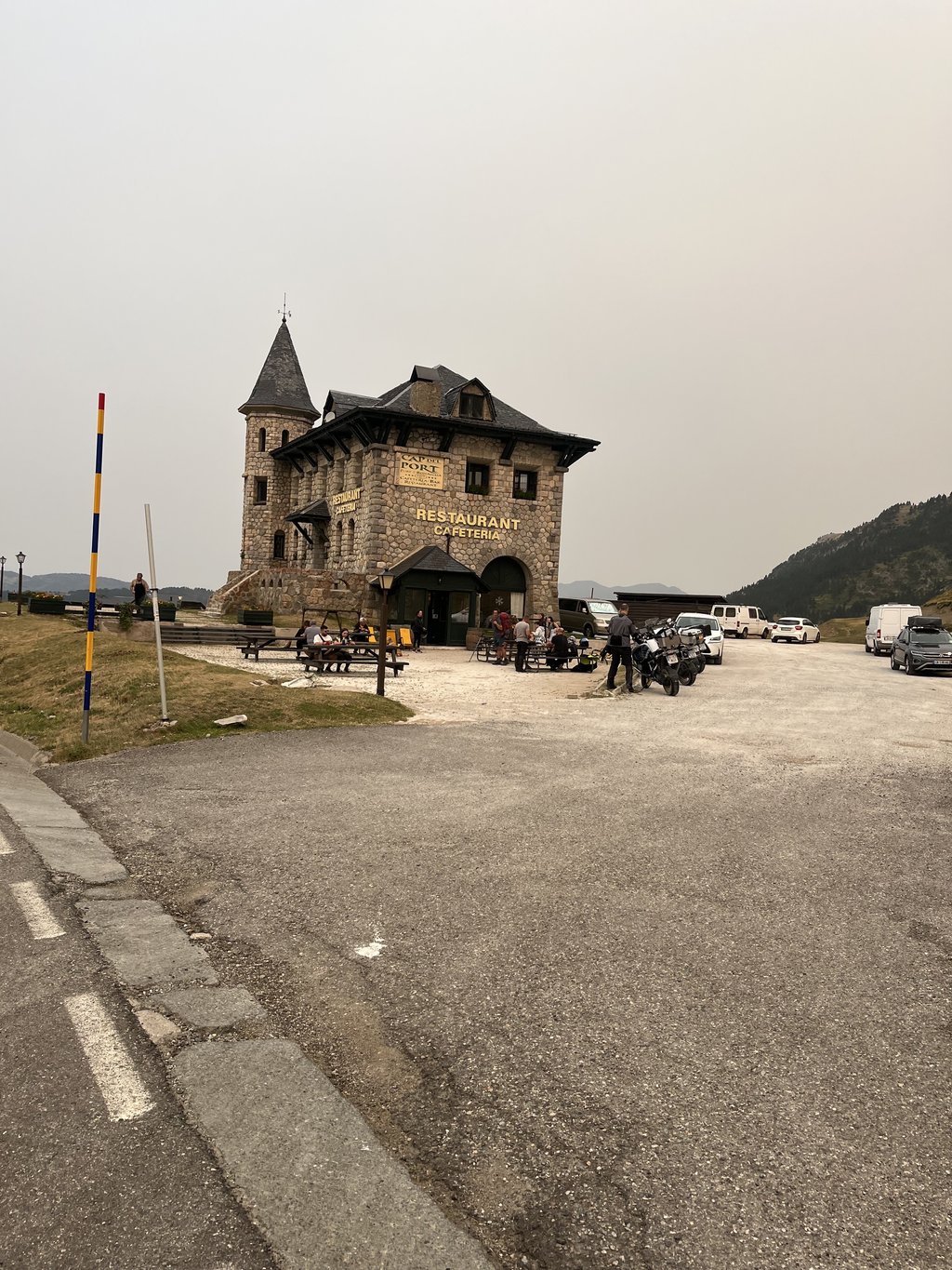
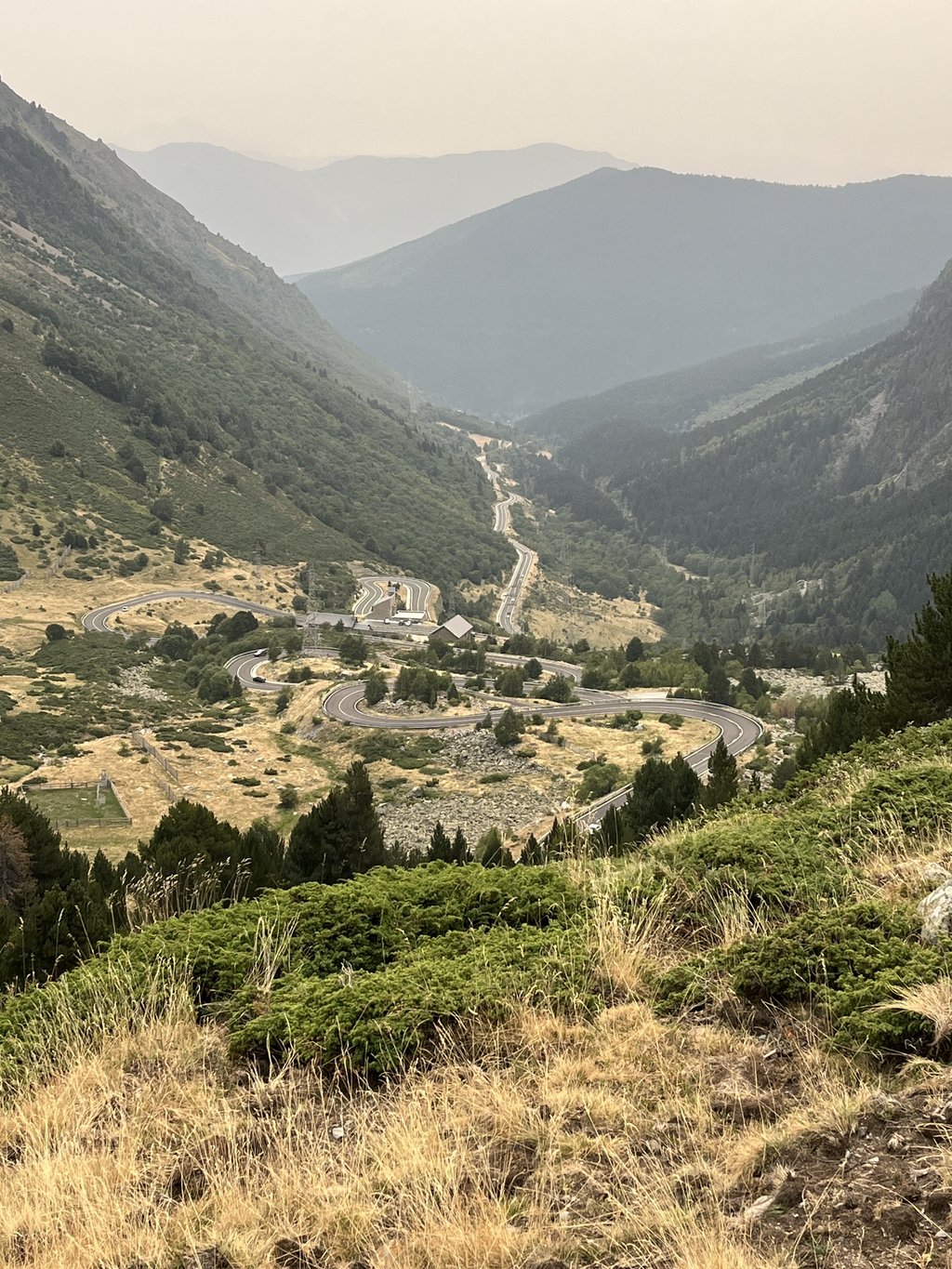
Port de la Bonaigua from Esterri d'Aneu is a climb in the region Spanish Pyrenees. It is 21.8 km long and bridges 1125 m of vertical ascent with an average gradient of 5.2%, resulting in a difficulty score of 643. The top of the ascent is located at 2075 m above sea level. Climbfinder users shared 1 review/story of this climb and uploaded 4 photos.
Road names: Avinguda del Port de la Bonaigua, Carretera del Port de la Bonaigua, C-142z & Carretera del Port de la Bonaigua
5.0 by MartijndJThis is an automatic translation, the original language is: Dutch.Nice climb, excellent road surface. Starts with stretches of 9% but and ends with hairpin bends. Descent is awesome. Good overview.... read more
Welcome! Please activate your account if you would like to share something. Look for the verification email in your inbox.
If you want to upload your photos, you need to create an account. It only takes 1 minute and it's completely free.
Nice climb, excellent road surface. Starts with stretches of 9% but and ends with hairpin bends. Descent is awesome. Good overview.
Mooie beklimming, prima wegdek. Begint met stukken van 9% maar en eindigt met haarspeldbochten. Afdaling is ge-wel-dig. Goed overzichtelijk.
| 7 km/h | 03:06:49 |
| 11 km/h | 01:58:53 |
| 15 km/h | 01:27:11 |
| 19 km/h | 01:08:49 |
This page is better in the app