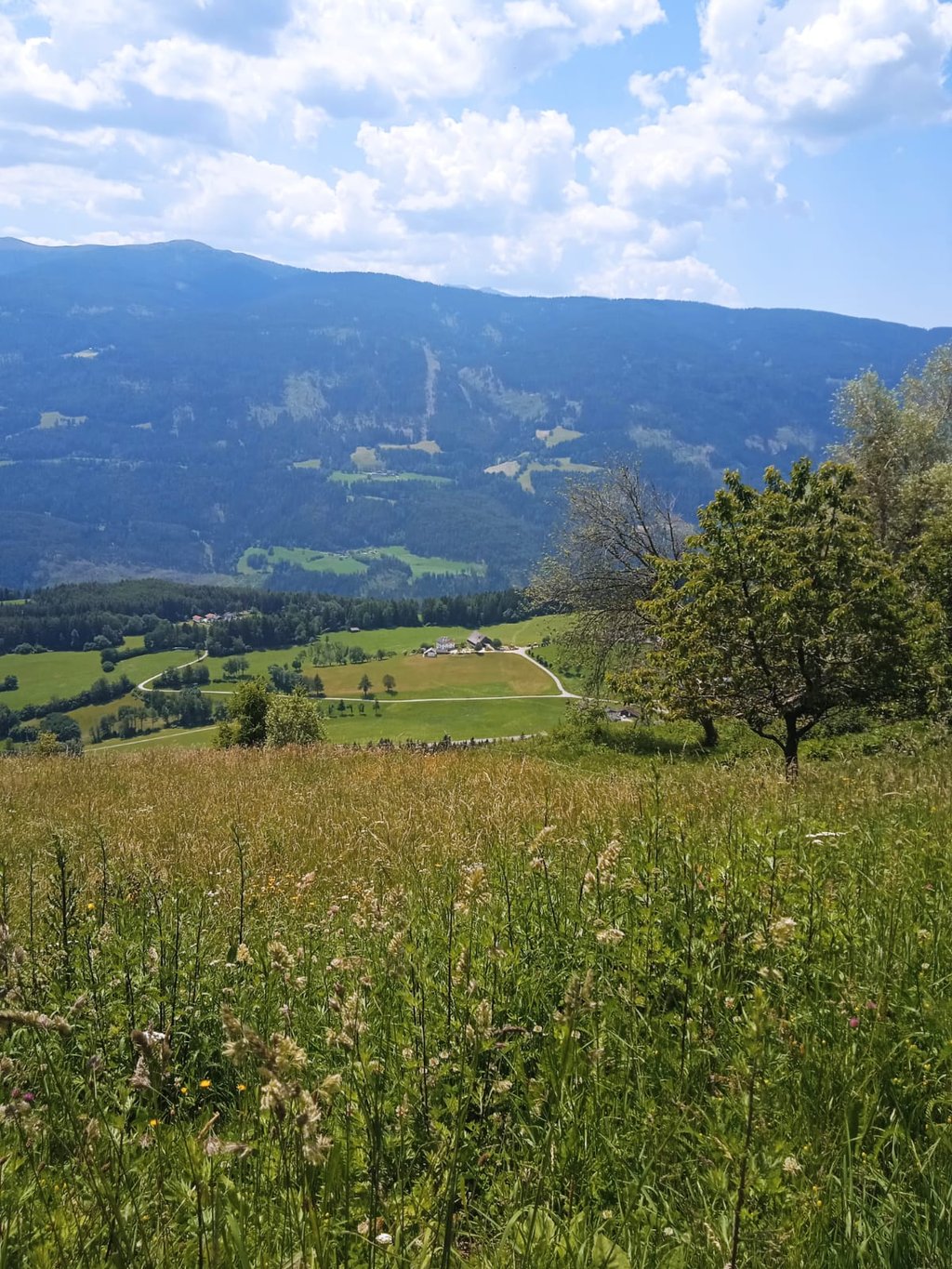
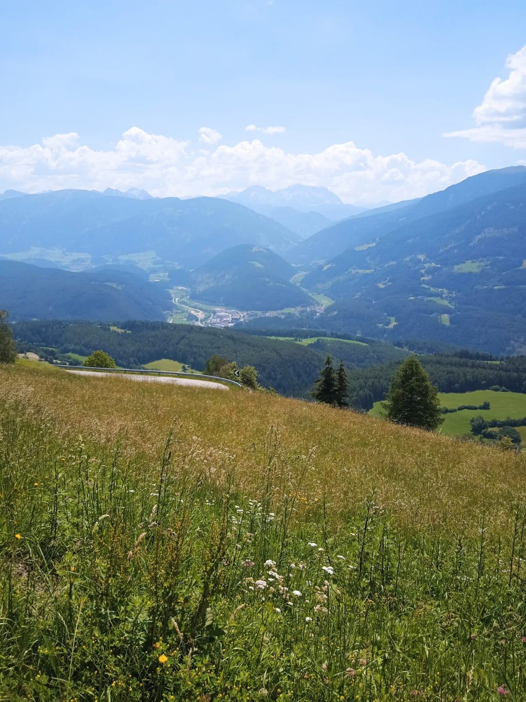
| Beautiful scenery |
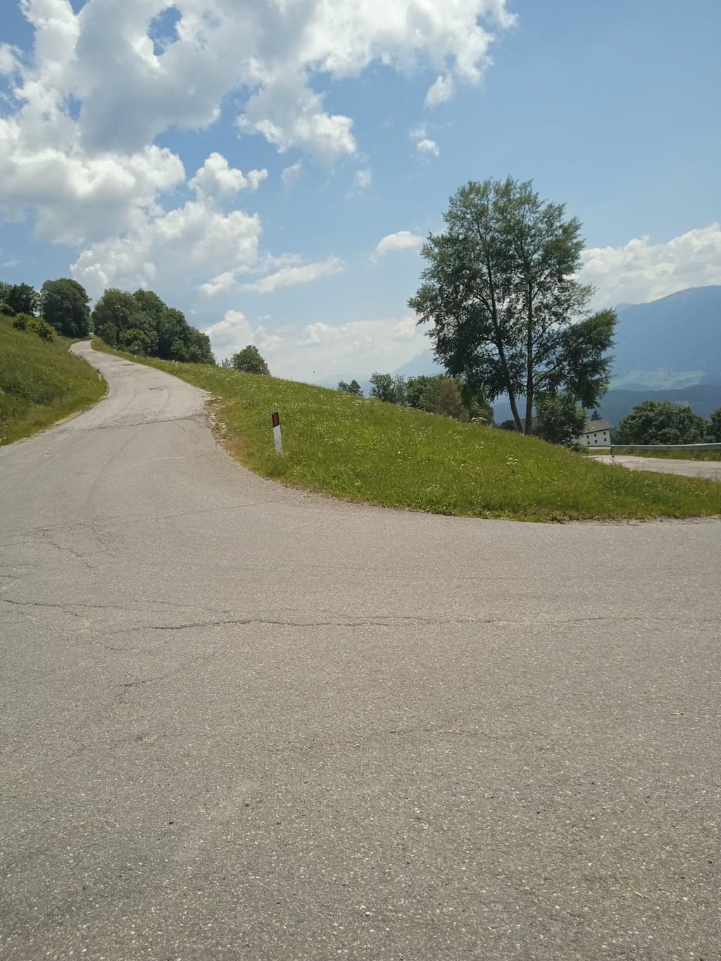
| 10 hairpin turns |
| #76 longest climb of Bolzano |
Pertinger Alm from Kiens / Chienes is a climb in the region Bolzano. It is 11.7 km long and bridges 753 m of vertical ascent with an average gradient of 6.5%, resulting in a difficulty score of 608. The top of the ascent is located at 1538 m above sea level. Climbfinder users shared 1 review/story of this climb and uploaded 3 photos.
Road names: Kiener Dorfweg - Via Chienes, Weiherstraße - Via Weiher, Sonnenstraße - Strada del Sole & Schneebergstraße - Via Schneeberg
3.0 by David_BianucciThis is an automatic translation, the original language is: Italian.To be divided into three sections. The first few kilometres out of Chienes are tough right from the start, on a well-surfaced, wide road that is mostly in the shade. When you turn left towards Terento, however, the route changes to a sort of long, gently sloping stretch that is very exposed to the sun and wind and not at all enjoyable. Finally, the last three kilometres are on a narrow and somewhat bumpy road, which climbs with gradients that are at times very challenging (up to 15 per cent!) am... read more
Welcome! Please activate your account if you would like to share something. Look for the verification email in your inbox.
If you want to upload your photos, you need to create an account. It only takes 1 minute and it's completely free.
To be divided into three sections. The first few kilometres out of Chienes are tough right from the start, on a well-surfaced, wide road that is mostly in the shade. When you turn left towards Terento, however, the route changes to a sort of long, gently sloping stretch that is very exposed to the sun and wind and not at all enjoyable. Finally, the last three kilometres are on a narrow and somewhat bumpy road, which climbs with gradients that are at times very challenging (up to 15 per cent!) amidst pastures stretching as far as the eye can see and the occasional farm.
Overall, it’s an interesting climb from a technical point of view, with a few sweeping views over the Puster Valley below, but not much else. In summer, the heat really sets in; there aren’t many cars, but when they do pass, they go past quickly...
Da dividere in tre parti. I primi chilometri in uscita da Chienes sono subito duri, su strada ben asfaltata e ampia in gran parte all'ombra. Quando si gira a sinistra per Terento si passa invece ad una specie di lungo falsopiano molto esposto a sole e vento e per nulla divertente. Gli ultimi tre chilometri infine, sono su strada stretta e un po' dissestata, che sale con pendenze talvolta molto impegnative (anche 15%!) in mezzo a pascoli a perdita d'occhio e qualche rara fattoria.
Nel complesso una salita interessante dal punto di vista tecnico, con qualche ampia veduta sulla sottostanteVal Pusteria, ma non molto di più. In estate il caldo si fa sentire, le auto non sono molte ma quando passano passano veloci...
| 7 km/h | 01:39:51 |
| 11 km/h | 01:03:33 |
| 15 km/h | 00:46:36 |
| 19 km/h | 00:36:47 |
This page is better in the app