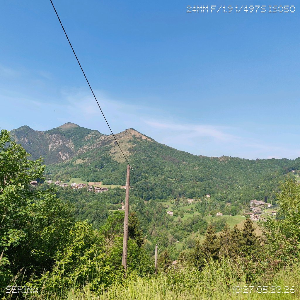
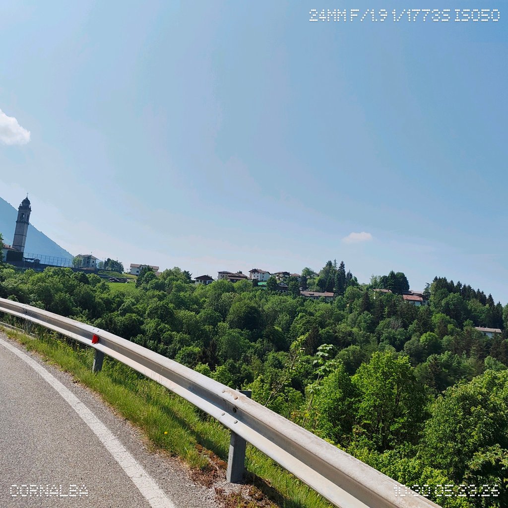
Passo della Crocetta from Antea is a climb in the region Bergamo. It is 11.9 km long and bridges 713 m of vertical ascent with an average gradient of 6%, resulting in a difficulty score of 520. The top of the ascent is located at 1071 m above sea level. Climbfinder users shared 4 reviews of this climb and uploaded 13 photos.
Road name: SP26
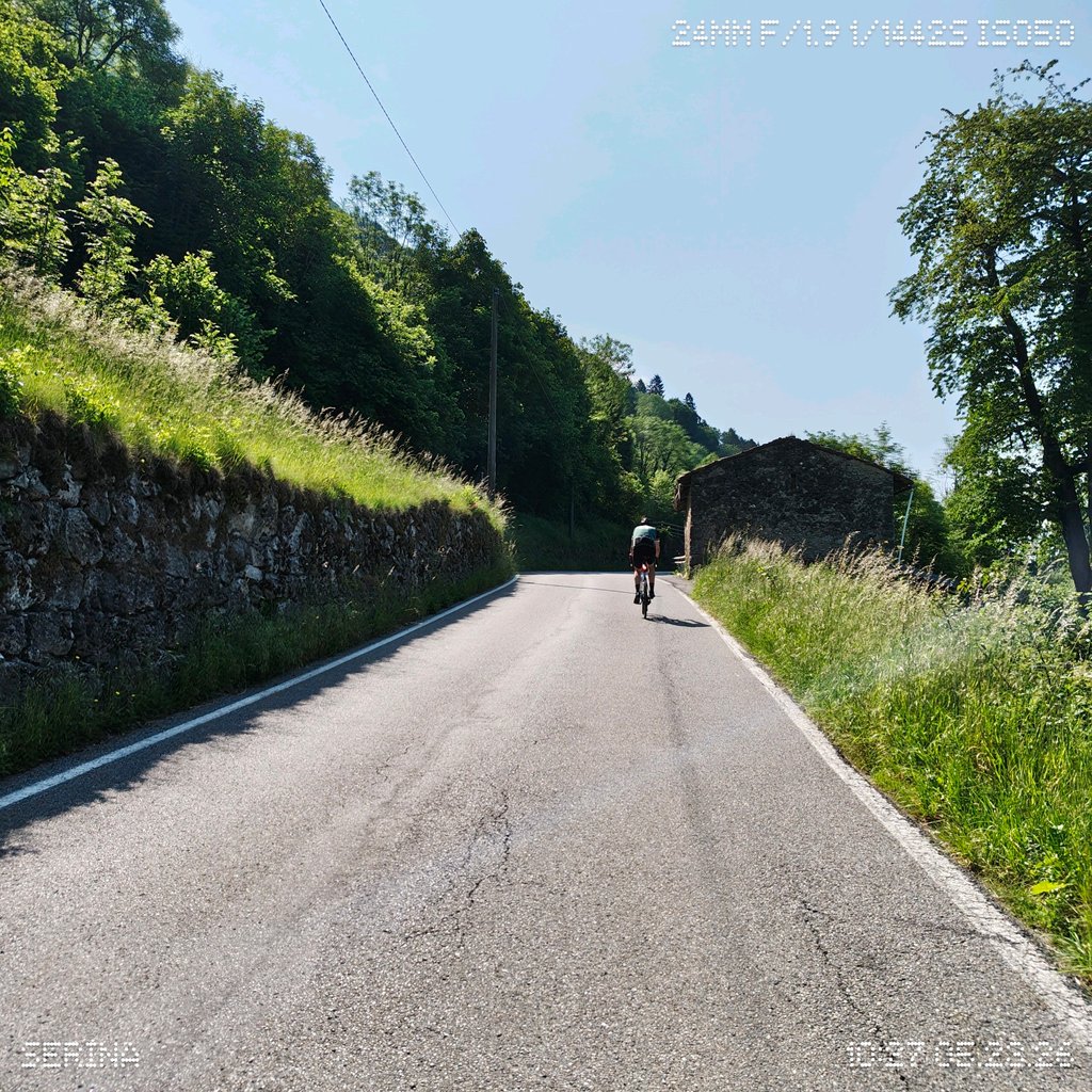
2.0 by MauroBrescianiThis is an automatic translation, the original language is: Italian.A fairly straightforward climb. The gradient varies a little at the start. The road surface is currently being resurfaced (July 2026). The occasional patches of shade and light traffic are welcome features. Nothing spectacular, but it’s a pleasant climb. At the top, there’s a drinking fountain next to the information point. ... read more
Welcome! Please activate your account if you would like to share something. Look for the verification email in your inbox.
If you want to upload your photos, you need to create an account. It only takes 1 minute and it's completely free.
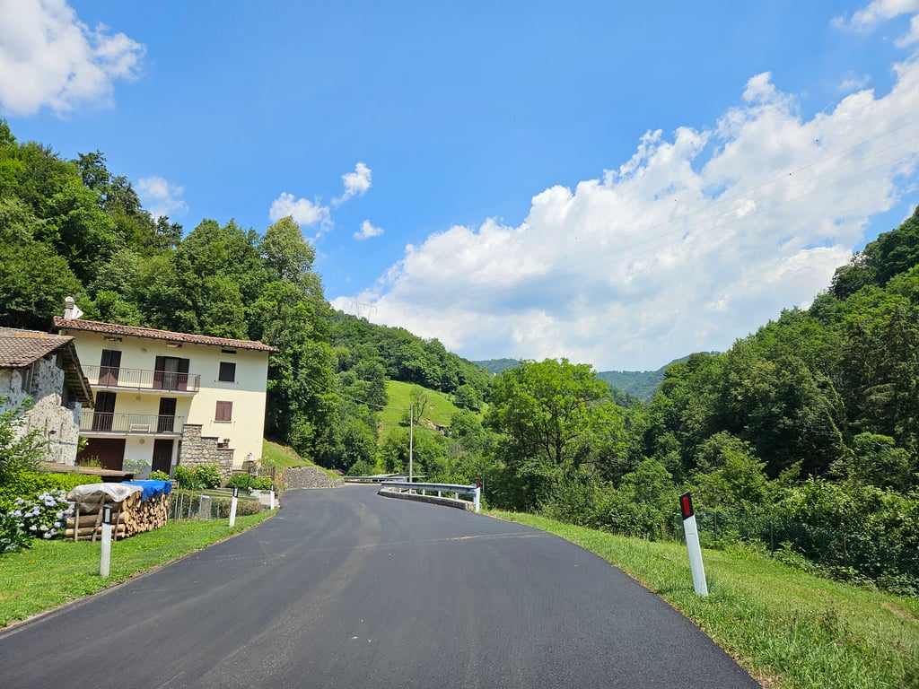
A fairly straightforward climb. The gradient varies a little at the start. The road surface is currently being resurfaced (July 2026). The occasional patches of shade and light traffic are welcome features. Nothing spectacular, but it’s a pleasant climb. At the top, there’s a drinking fountain next to the information point.
Salita abbastanza semplice. All'inizio c'è una variabilità sulla pendenza. In corso ri asfaltatura del manto stradale (Luglio 2026). Ombra a tratti e poco traffico sono delle buone caratteristiche. Niente di epico ma si sale con piacere. In cima si trova fontanella di fianco info point.
The least beautiful to reach Dossena and then continue to the Zambla Pass. Of course it is also the least demanding
La meno bella per raggiungere Dossena e poi proseguire per passo Zambla. Certo è anche la meno impegnativa
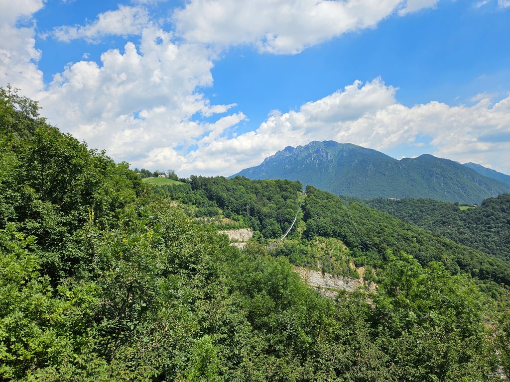
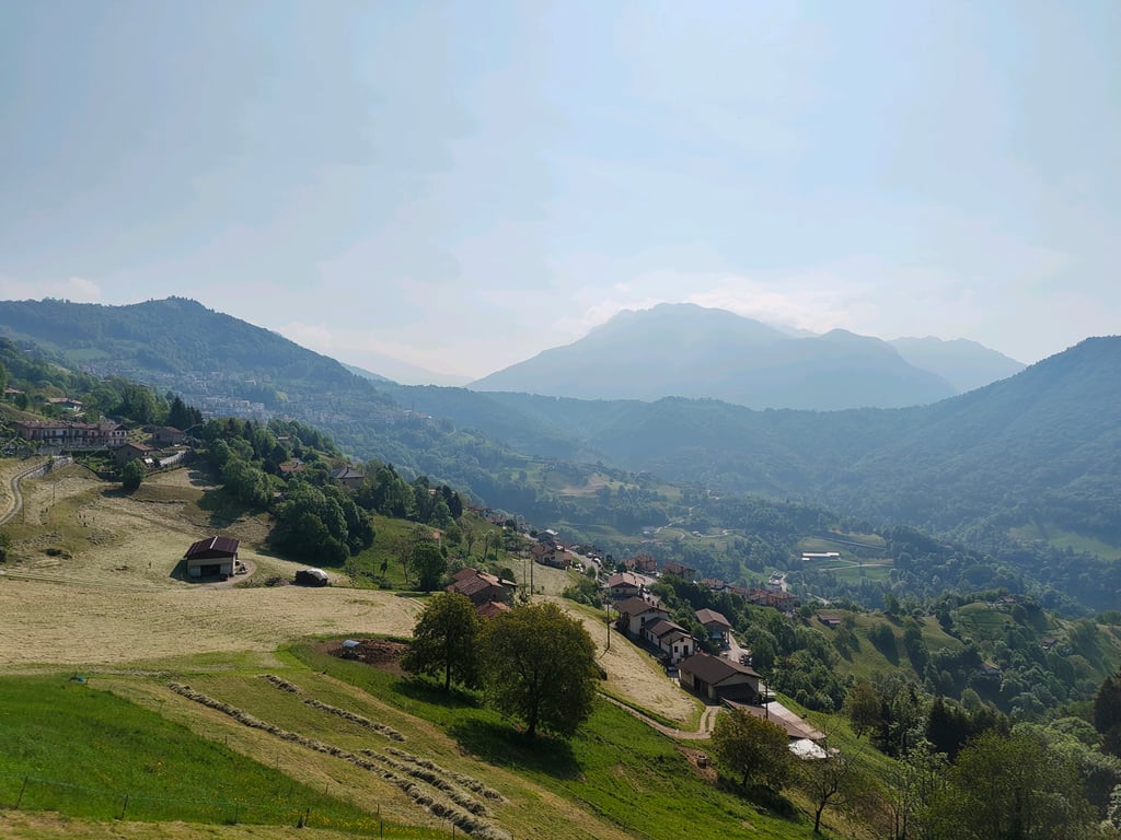
16 August 2024, did this climb on my tour, starting from Selvino. Always challenging, uphill in short but steep climbs with peaks at 13/14%... Wonderful view at the top... a Tibetan bridge crosses the valley... water at the top near the tourist info office... every now and then the road narrows but nothing impossible... I recommend it to everyone ... ( I had the 50/27 ) ....
16 agosto 2024, fatto questa salita nel mio giro , con partenza da Selvino. Sempre impegnativa, salita a strappi brevi ma con punte al 13/14%… Panorama stupendo in cima… un ponte tibetano attraversa la valle.. acqua in cima vicino l’ufficio info turismo… ogni tanto la strada si stringe ma niente di impossibile.. Consiglio a tutti … ( avevo il 50/27 ) ….
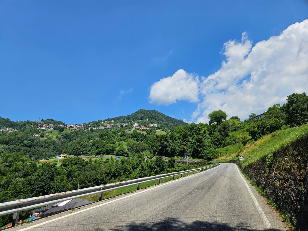
Nice gentle climb from San Pellegrino, the town of t spring water. The start is via a few hairpin bends. The middle section goes through forest and green meadows. The last part ends in a village. This climb is sometimes in Il Lombardia.
Mooie rustige klim vanuit San Pellegrino, de stad van t bronwater. De start is via een paar haarspeldbochten. Het middendeel gaat door bos en groene weiden. Het laatste deel eindigt in een dorpje. Deze klim zit soms in Il Lombardia.
| 7 km/h | 01:41:42 |
| 11 km/h | 01:04:43 |
| 15 km/h | 00:47:27 |
| 19 km/h | 00:37:28 |
This page is better in the app