Papenpad from Bennekom is a climb in the region Ede & Wageningen. It is 1.1 km long and bridges 23 m of vertical ascent with an average gradient of 2.1%, resulting in a difficulty score of 7. The top of the ascent is located at 41 m above sea level. Climbfinder users shared 1 review/story of this climb and uploaded 6 photos.
This is an automatic translation, the original language is: Dutch.
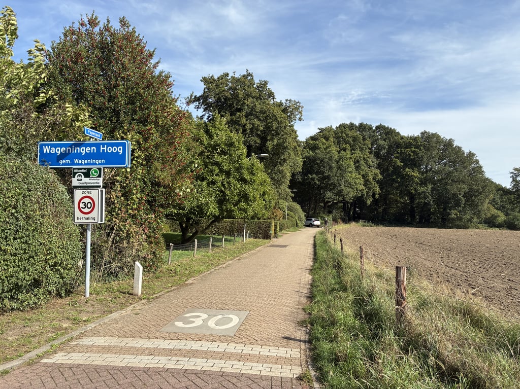
Very varied climb. First past fields on a cobbled road. Then a short stretch of tiled path (so do not follow the road to the left but go straight ahead) after which a -good rideable- gravel road follows and the slope starts to take shape. Further on, turn right-left (follow the sign "Papenpad') after which another tarmac road with an intermediate hump and the final slope follow through a wooded residential area....read more
Photos (6)
Welcome! Please activate your account if you would like to share something. Look for the verification email in your inbox.
This is an automatic translation, the original language is: Dutch.
Show original
Very varied climb. First past fields on a cobbled road. Then a short stretch of tiled path (so do not follow the road to the left but go straight ahead) after which a -good rideable- gravel road follows and the slope starts to take shape. Further on, turn right-left (follow the sign "Papenpad') after which another tarmac road with an intermediate hump and the final slope follow through a wooded residential area.
Heel gevarieerde klim. Eerst langs akkers over een klinkerweggetje. Dan een kort stukje tegelpad (dus niet de weg naar links volgen maar rechtdoor gaan) waarna een -goed berijdbare-gravelweg volgt en de helling vorm begint aan te nemen. Verderop even rechts-links (bordje "Papenpad' volgen) waarna nog een asfaltweg met een tussenbult en de eindhelling volgt door een bosrijke villawijk.
Share your knowledge. What was the road condition during your ascent?
Traffic
0% 0% 0%
Based on 0 votes
Your experience counts. How much traffic did you encounter during the climb?
Frequently Asked Questions
You don't need special gearing for Papenpad from Bennekom. The slope isn't long or steep enough to require much shifting down. You can conquer this climb on power alone. However, a compact gearing system with a smallest front chainring of 34 and largest rear sprocket of 28 or 30 is always nice if you enjoy cycling uphill. This helps maintain a smooth cadence.
Papenpad from Bennekom is not tough enough to be assigned a mountain category. This means that even untrained cyclists can reach the top without any problems on this climb.
Papenpad from Bennekom is 1.1 km long.
The average gradient of Papenpad from Bennekom is 2.1%.
Papenpad from Bennekom has a steepest segment with an average gradient of 3.9%.
The summit of Papenpad from Bennekom is at 41 m.
At a slow pace of 7 km/h, it takes about 00:09:38 to climb Papenpad from Bennekom. At 11 km/h the time is 00:06:08, and at 15 km/h 00:04:30. For the fastest cyclists, 00:03:33 is an achievable time.