View on map
© MapLibre | OpenStreetMap contributors
1%
2%
4%
6%
8%
10%
12%
15%
20%

Obergrenchenberg from Granges

2.0
1 review/story | Elevation profile | 4 photos
Tips nearby
Obergrenchenberg from Granges
transparant thumb
transparant thumb
transparant thumb
transparant thumb
Your achievable time
Calculating based on your best performances...
Relaxed
Maximum
W/kg
W/kg
W/kg
Analyse your climbing performance
Detailed insight into your climbing performance & automatically check off climbs
Based on your best performances.
Your best attempt:
Number of attempts:
Elevation profile Obergrenchenberg from Granges

Statistics

Difficulty points 672
Length 12.2 km
Average gradient 6.9%
Steepest 100 metres 12.8%
Total ascent 840 m

Short recap

Beautiful scenery
3 hairpin turns
#34 toughest climb of Jura
#29 most elevation gain of Jura
#61 longest climb of Jura
#84 average steepest climb of Solothurn
Feedback about this climb?
Show climbs nearby Export to GPS device

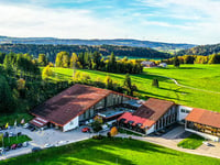
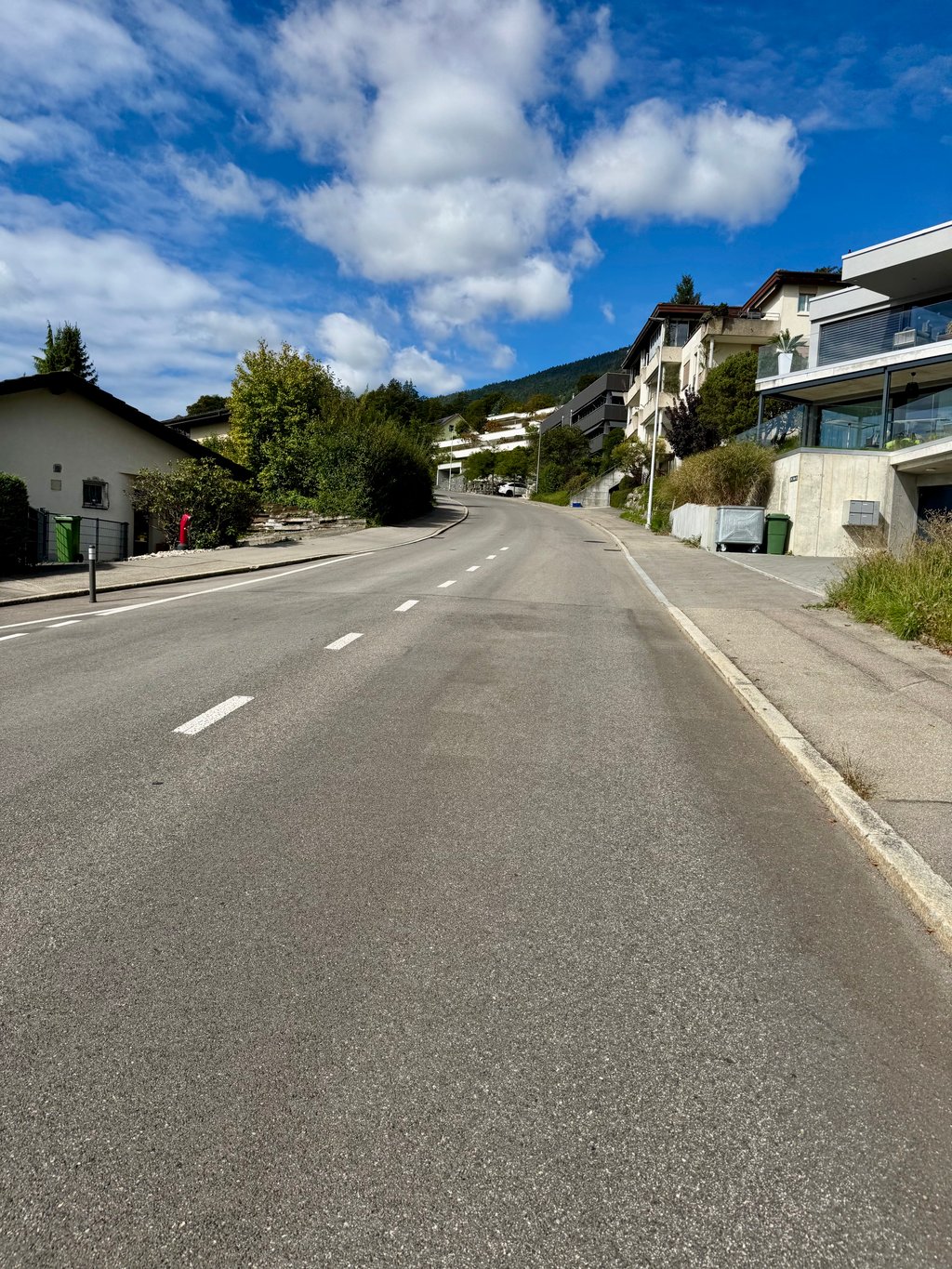
Obergrenchenberg from Granges is a climb in the region Solothurn. It is 12.2 km long and bridges 840 m of vertical ascent with an average gradient of 6.9%, resulting in a difficulty score of 672. The top of the ascent is located at 1351 m above sea level. Climbfinder users shared 1 review/story of this climb and uploaded 4 photos.

Road names: Bergstrasse & Grenchenberg
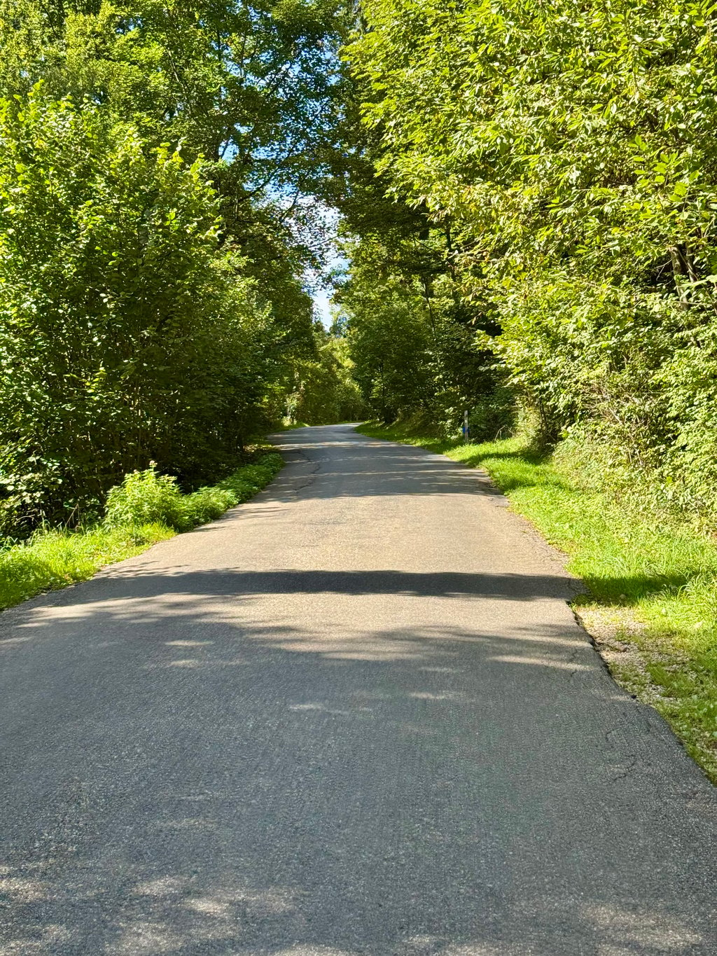
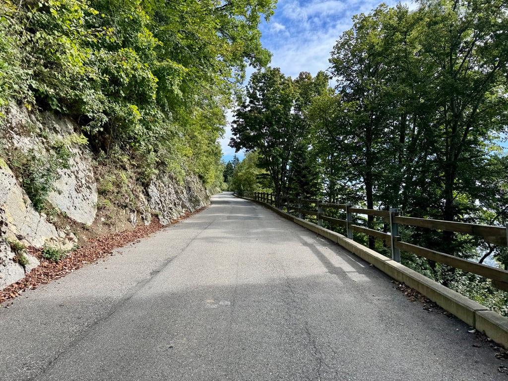
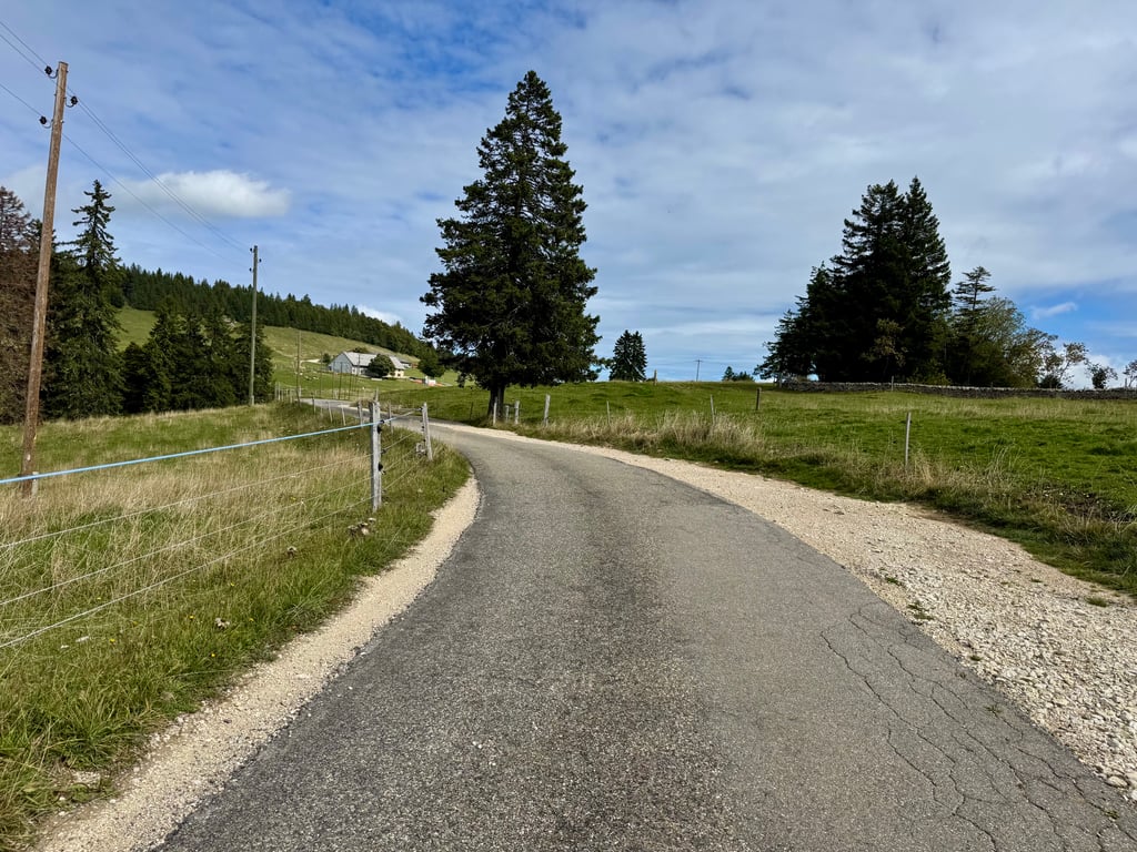
2.0 by Kamielpg
This is an automatic translation, the original language is: Dutch.
This climb is recommended if you are in the area, though. Grenchen is not unknown to cycling fans (Velodrome and BMC). The climb is very doable as it is very constant. Most of the climb is through the forest so you are very well sheltered. The road surface does leave something to be desired. Lots of small cracks and repairs. I did the climb on a Wednesday and there was hardly any traffic.... read more

Photos (4)

Obergrenchenberg from Granges
transparant thumb
transparant thumb

Your uploads (max 4)

Welcome! Please activate your account if you would like to share something. Look for the verification email in your inbox.

If you want to upload your photos, you need to create an account. It only takes 1 minute and it's completely free.

  • Receive free climbfinder goodies for your reviews & photos.
  • Create a bucket list and check off conquered climbs.
  • Add missing climbs.
Continue with GoogleContinue with Google Continue with FacebookContinue with Facebook Continue with AppleContinue with Apple Sign up with email
By signing up you agree to our terms of service and confirm that you have read our privacy & content policy.

Reviews (1)

5.0
4.0
3.0
2.0
1.0
Kamielpg
8 Mo 2.0 via the Climbfinder app
This is an automatic translation, the original language is: Dutch. Show original

This climb is recommended if you are in the area, though. Grenchen is not unknown to cycling fans (Velodrome and BMC). The climb is very doable as it is very constant. Most of the climb is through the forest so you are very well sheltered. The road surface does leave something to be desired. Lots of small cracks and repairs. I did the climb on a Wednesday and there was hardly any traffic.

Deze beklimming is wel aan te raden als je in de buurt bent. Grenchen is niet onbekend bij de wielerliefhebber (Velodroom en BMC). De klim is heel erg goed te doen doordat ie heel constant is. Het grootste gedeelte van de klim gaat door het bos dus ben je heel goed beschut. Het wegdek laat wel iets te wensen over. Veel kleine scheurtjes en reparaties. Ik heb de klim op een woensdag gedaan en er was amper verkeer.

Dashboard

Climbing times

7 km/h 01:44:47
11 km/h 01:06:41
15 km/h 00:48:54
19 km/h 00:38:36

Road surface condition

0% 100% 0%
Based on 1 vote
Share your knowledge. What was the road condition during your ascent?

Traffic

100% 0% 0%
Based on 1 vote
Your experience counts. How much traffic did you encounter during the climb?

Frequently Asked Questions

Obergrenchenberg can be cycled from 2 sides. Obergrenchenberg from Court is the most popular side, but the summit can also be reached via Obergrenchenberg from Granges.

Obergrenchenberg from Granges is a challenging ascent. For this type of climbing, we recommend mountain gearing, specifically a compact system. This means a small front chainring of 34 teeth, combined with a rear cassette where, depending on your level, strength, and experience, you choose a sprocket with 30, 32, or even 34 teeth. Remember that a smooth cadence is always more efficient!

Obergrenchenberg from Granges is a first-category climb: long and tough. Do not underestimate this climb. Many famous Tour de France cols fall into this category. Prepare for a long, challenging ride. Only well-trained riders will reach the top smoothly. Make sure you have a road bike with climbing gears and enough training; otherwise, it will be a struggle.

Obergrenchenberg from Granges is 12.2 km long.

The average gradient of Obergrenchenberg from Granges is 6.9%.

Obergrenchenberg from Granges has a steepest segment with an average gradient of 12.8%.

The summit of Obergrenchenberg from Granges is at 1351 m.

At a slow pace of 7 km/h, it takes about 01:44:47 to climb Obergrenchenberg from Granges. At 11 km/h the time is 01:06:41, and at 15 km/h 00:48:54. For the fastest cyclists, 00:38:36 is an achievable time.

Obergrenchenberg from Granges is located in the region Solothurn in Switzerland.

This page is better in the app

Climbfinder app
Climbfinder
(Free)
Open