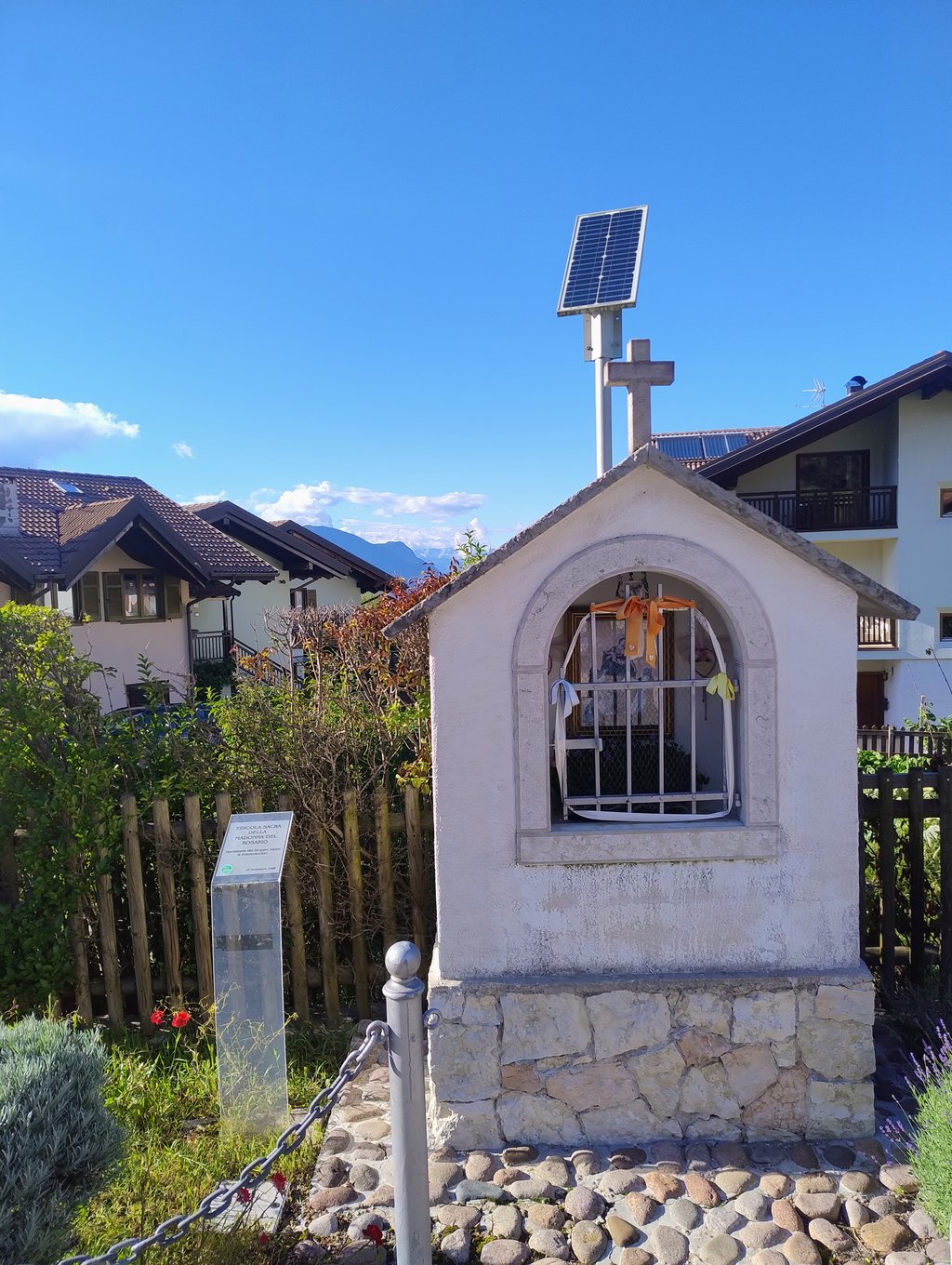
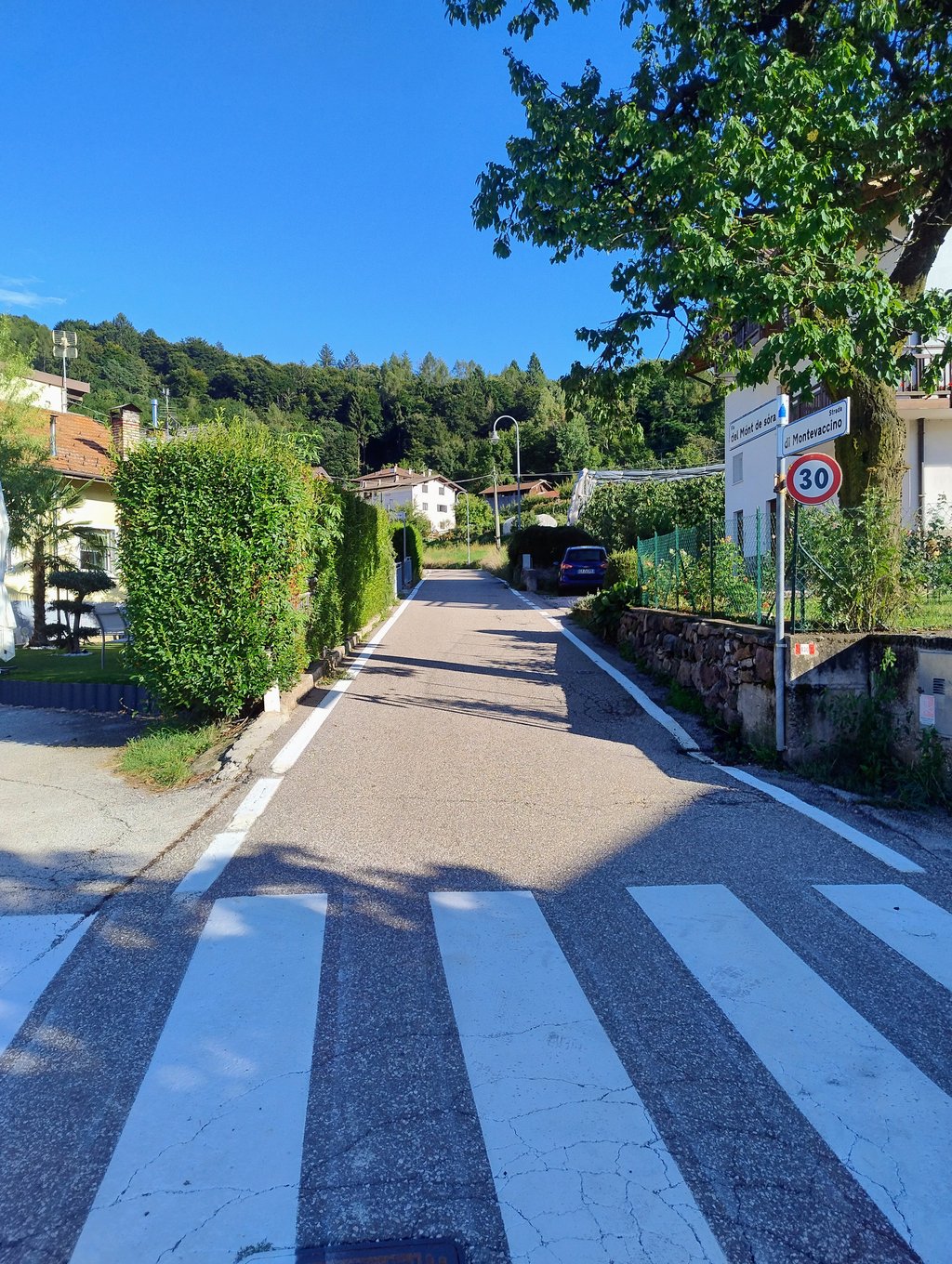
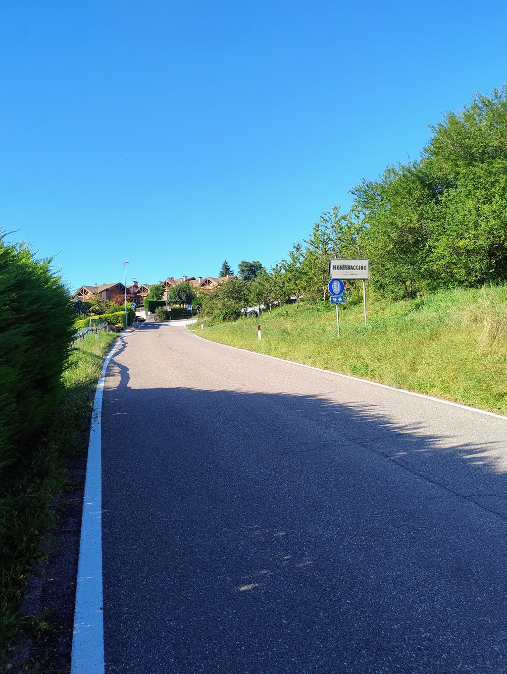
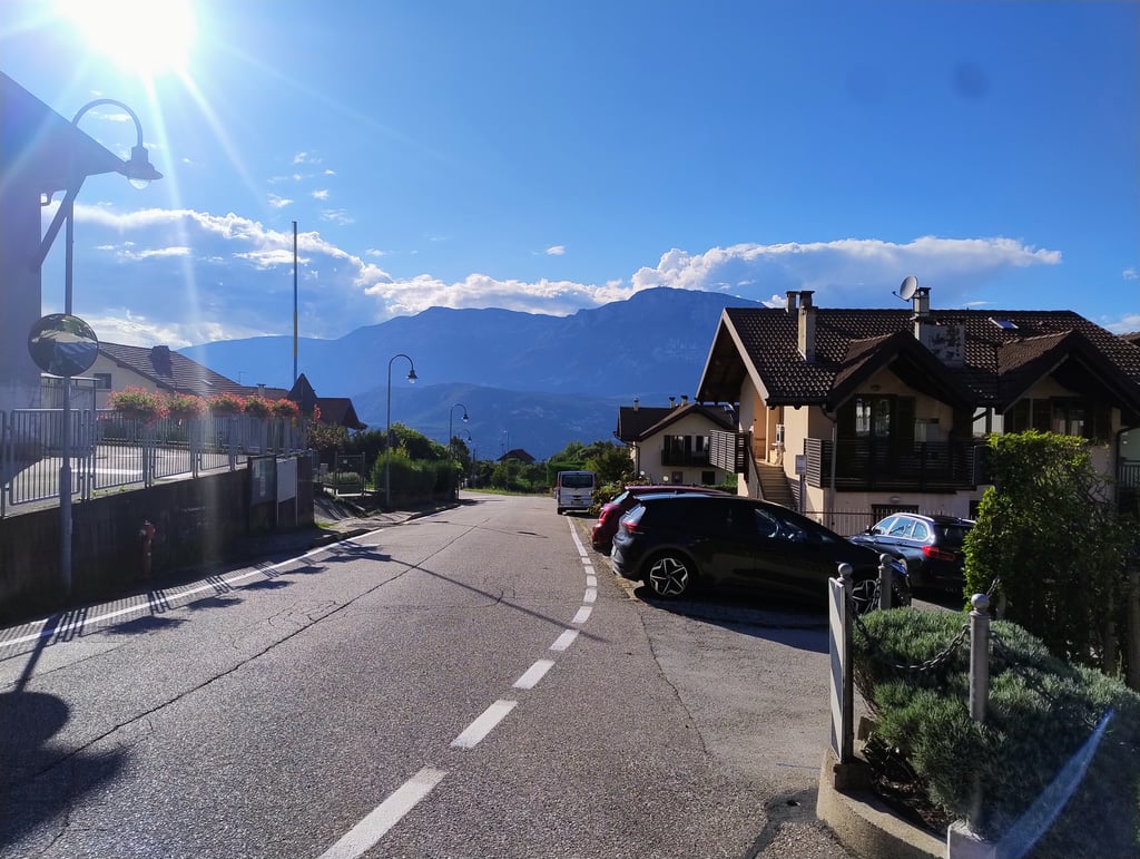
Montevaccino from Martignano is a climb in the region Trento. It is 4.5 km long and bridges 338 m of vertical ascent with an average gradient of 7.6%, resulting in a difficulty score of 302. The top of the ascent is located at 727 m above sea level. Climbfinder users shared 1 review/story of this climb and uploaded 4 photos.
Road names: Via ai Bolleri & Strada di Montevaccino
3.0 by DeadnatureThis is an automatic translation, the original language is: Italian.Montevaccino is Trento's highest point east of the Adige River, and getting there is a pleasant challenge for local cyclists. This is the more classic route, which starts from the hamlet of Martignano: if you are coming from the city of Trento, you will therefore face a couple of kilometres with gradients of around 8% The first part of the road, coming out of Martignano, is almost flat: as soon as you reach Maso Bolleri, the gradients become very challenging, with a double hairpin bend th... read more
Welcome! Please activate your account if you would like to share something. Look for the verification email in your inbox.
If you want to upload your photos, you need to create an account. It only takes 1 minute and it's completely free.
Montevaccino is Trento's highest point east of the Adige River, and getting there is a pleasant challenge for local cyclists. This is the more classic route, which starts from the hamlet of Martignano: if you are coming from the city of Trento, you will therefore face a couple of kilometres with gradients of around 8% The first part of the road, coming out of Martignano, is almost flat: as soon as you reach Maso Bolleri, the gradients become very challenging, with a double hairpin bend that sees the road surge under the wheels. At the end of the first hard section there is a piece of false-flat, but right at the entrance to Montevaccino the gradients return to around 9-10% for a few hundred metres. Finally, in the village, there is a short easy section and then a final ramp to complete the effort.
Montevaccino è la frazione di Trento più elevata a Est dell'Adige, e arrivarci rappresenta una gradevole sfida per i cicloamatori locali. Questo è il versante più classico, che parte dalla frazione di Martignano: se arrivate da Trento città, dovrete affrontare quindi un paio di chilometri con pendenze intorno all'8%. Il primo tratto di strada, in uscita da Martignano, è pressoché pianeggiante: appena si arriva a Maso Bolleri le pendenze si fanno invece molto impegnative, con un doppio tornante che vede la strada impennarsi sotto le ruote. Terminato il primo tratto duro c'è un pezzo di falsopiano, ma proprio all'ingresso di Montevaccino le pendenze tornano intorno al 9-10% per qualche centinaio di metri. In paese, infine, breve tratto facile e poi un'ultima rampa per completare la propria fatica.
| 7 km/h | 00:38:18 |
| 11 km/h | 00:24:22 |
| 15 km/h | 00:17:52 |
| 19 km/h | 00:14:06 |
This page is better in the app