| Beautiful scenery |
| 6 hairpin turns |
| #8 toughest climb of Ardennes |
| #76 most elevation gain of Ardennes |
| #66 longest climb of Nature Park Our |
| #52 average steepest climb of Luxembourg |
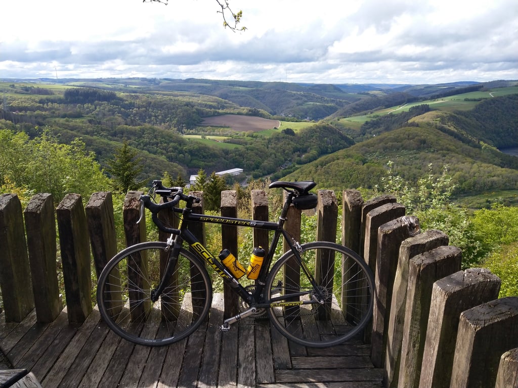
Mont St. Nicholas from Bivels is a climb in the region Nature Park Our. It is 3 km long and bridges 273 m of vertical ascent with an average gradient of 9.1%, resulting in a difficulty score of 291. The top of the ascent is located at 500 m above sea level. Climbfinder users shared 1 review/story of this climb and uploaded 1 photo.
Road names: Rue du Cimetière & Rue du Lac
4.0 by TimvanDorstThis is an automatic translation, the original language is: Dutch.The first climb of the Jean Nelisse Classic is right up there with a bang!... read more
Welcome! Please activate your account if you would like to share something. Look for the verification email in your inbox.
If you want to upload your photos, you need to create an account. It only takes 1 minute and it's completely free.
The first climb of the Jean Nelisse Classic is right up there with a bang!
De eerste klim van de Jean Nelisse Classic is er gelijk 1. Lekker knallen!
| 7 km/h | 00:25:40 |
| 11 km/h | 00:16:20 |
| 15 km/h | 00:11:58 |
| 19 km/h | 00:09:27 |
This page is better in the app