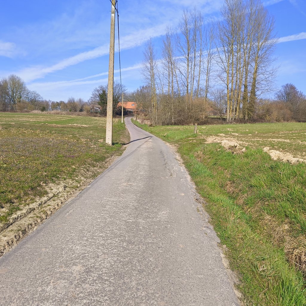
Mont d'Ellezelles via Rigaudrye is a climb in the region Pays des Collines. It is 1.6 km long and bridges 71 m of vertical ascent with an average gradient of 4.5%, resulting in a difficulty score of 42. The top of the ascent is located at 120 m above sea level. Climbfinder users shared 2 reviews of this climb and uploaded 1 photo.
Road names: Guinaumont & Rigaudrye
4.0 by EmileDEThis is an automatic translation, the original language is: Dutch.Nice and very doable climb. Long spur with a good road surface.... read more
Welcome! Please activate your account if you would like to share something. Look for the verification email in your inbox.
If you want to upload your photos, you need to create an account. It only takes 1 minute and it's completely free.
This variant of Mont d'Ellezelles is a quieter alternative to the climb that takes the main road (N519) and starts from Ellezelles (that road has been beautifully resurfaced, by the way). The climb is irregular at the start and has a long spur. It is an ideal climb to do after the Côte dus Paradis.
Deze variant van de Mont d'Ellezelles is een rustiger alternatief voor de klim die de grote baan (N519) neemt en vertrekt vanuit Ellezelles (die baan is trouwens prachtig heraangelegd). De klim is onregelmatig in het begin en kent een lange uitloper. Het is een ideale klim om te doen na de Côte dus Paradis.
| 7 km/h | 00:13:38 |
| 11 km/h | 00:08:40 |
| 15 km/h | 00:06:21 |
| 19 km/h | 00:05:01 |
This page is better in the app