View on map
© MapLibre | OpenStreetMap contributors
1%
2%
4%
6%
8%
10%
12%
15%
20%

Mon Legrand

4.0
1 review/story | Elevation profile | 4 photos
Tips nearby
Mon Legrand
Mon Legrand
Mon Legrand
Mon Legrand
transparant thumb
transparant thumb
transparant thumb
transparant thumb
Your achievable time
Calculating based on your best performances...
Relaxed
Maximum
W/kg
W/kg
W/kg
Analyse your climbing performance
Detailed insight into your climbing performance & automatically check off climbs
Based on your best performances.
Your best attempt:
Number of attempts:
Elevation profile Mon Legrand

Statistics

Difficulty points 57
Length 1.6 km
Average gradient 5.3%
Steepest 100 metres 12.3%
Total ascent 82 m

Short recap

Hidden gem
1 hairpin turn
Feedback about this climb?
Show climbs nearby Export to GPS device

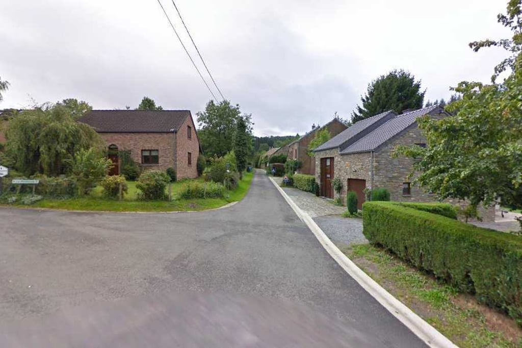
Mon Legrand is a climb in the region Valleys of the Vesdre, de l'Amblève et de l'Ourthe. It is 1.6 km long and bridges 82 m of vertical ascent with an average gradient of 5.3%, resulting in a difficulty score of 57. The top of the ascent is located at 335 m above sea level. Climbfinder users shared 1 review/story of this climb and uploaded 4 photos.

Road names: Le Trou & Mon Legrand
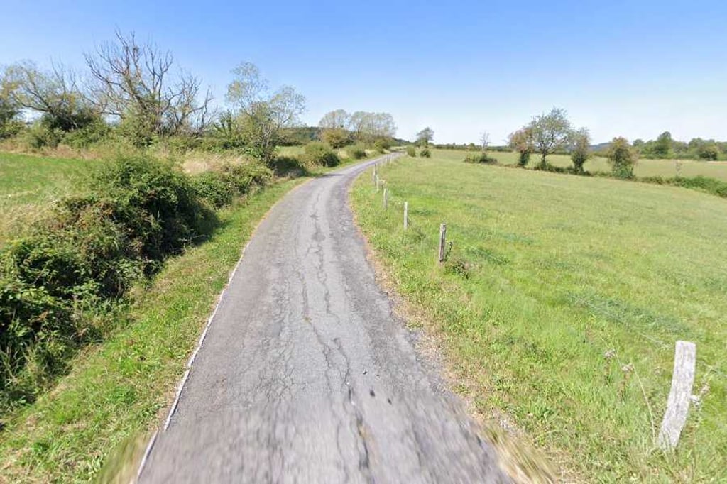
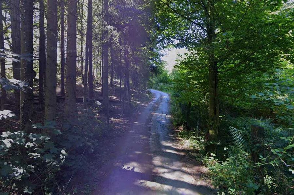
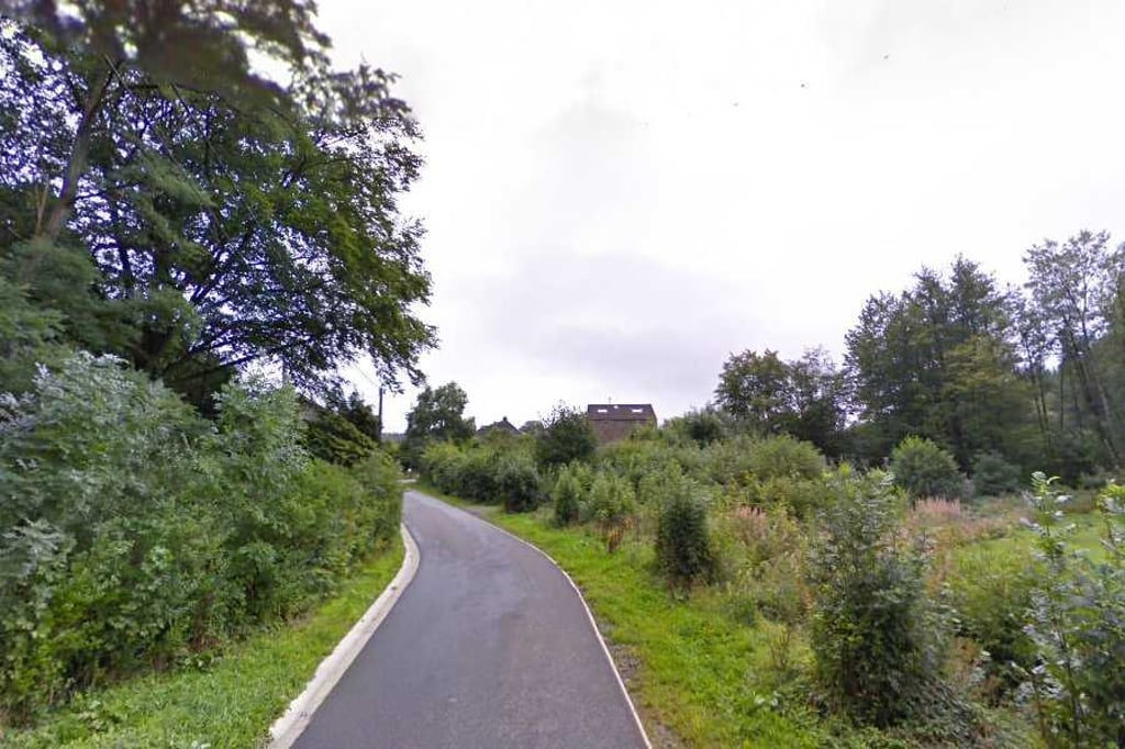
4.0 by BikerJohan
This is an automatic translation, the original language is: Dutch.
The climb starts in Le Trou at the same point as the climb Bois Franque Hé. At the first junction, turn right for this climb. It is a tough climb of over 1.5 kilometres where you ride mostly among the trees. The gradients fluctuate throughout the climb. Although the graph does not show it, the Garmin indicated several times during the climb that a gradient of 19% was tapped.... read more

Photos (4)

Mon Legrand
Mon Legrand
Mon Legrand
Mon Legrand
transparant thumb
transparant thumb

Your uploads (max 4)

Welcome! Please activate your account if you would like to share something. Look for the verification email in your inbox.

If you want to upload your photos, you need to create an account. It only takes 1 minute and it's completely free.

  • Receive free climbfinder goodies for your reviews & photos.
  • Create a bucket list and check off conquered climbs.
  • Add missing climbs.
Continue with GoogleContinue with Google Continue with FacebookContinue with Facebook Continue with AppleContinue with Apple Sign up with email
By signing up you agree to our terms of service and confirm that you have read our privacy & content policy.

Reviews (1)

5.0
4.0
3.0
2.0
1.0
BikerJohan
1 y 4.0
This is an automatic translation, the original language is: Dutch. Show original

The climb starts in Le Trou at the same point as the climb Bois Franque Hé. At the first junction, turn right for this climb. It is a tough climb of over 1.5 kilometres where you ride mostly among the trees. The gradients fluctuate throughout the climb. Although the graph does not show it, the Garmin indicated several times during the climb that a gradient of 19% was tapped.

De klim begint in Le Trou op hetzelfde punt als de klim Bois Franque Hé. Op de eerste splitsing ga je voor deze klim rechtsaf. Het is een pittige klim van ruim 1,5 kilometer waarbij je grotendeels tussen de bomen rijdt. De stijgingspercentages fluctueren over de gehele klim. Hoewel de grafiek het niet aangeeft gaf de Garmin tijdens de klim meerdere malen aan dat een stijgingspercentage van 19% werd aangetikt.

Dashboard

Climbing times

7 km/h 00:13:19
11 km/h 00:08:28
15 km/h 00:06:13
19 km/h 00:04:54

Road surface condition

0% 0% 0%
Based on 0 votes
Share your knowledge. What was the road condition during your ascent?

Traffic

0% 0% 0%
Based on 0 votes
Your experience counts. How much traffic did you encounter during the climb?

Frequently Asked Questions

You don't need special gearing for Mon Legrand. The slope isn't long or steep enough to require much shifting down. You can conquer this climb on power alone. However, a compact gearing system with a smallest front chainring of 34 and largest rear sprocket of 28 or 30 is always nice if you enjoy cycling uphill. This helps maintain a smooth cadence.

Mon Legrand falls into the 5th category. With good fitness, you can ride it up with speed and power. If you have less training, shift down and climb smoothly.

Mon Legrand is 1.6 km long.

The average gradient of Mon Legrand is 5.3%.

Mon Legrand has a steepest segment with an average gradient of 12.3%.

The summit of Mon Legrand is at 335 m.

At a slow pace of 7 km/h, it takes about 00:13:19 to climb Mon Legrand. At 11 km/h the time is 00:08:28, and at 15 km/h 00:06:13. For the fastest cyclists, 00:04:54 is an achievable time.

Mon Legrand is located in the region Valleys of the Vesdre, de l'Amblève et de l'Ourthe in Belgium.

This page is better in the app

Climbfinder app
Climbfinder
(Free)
Open