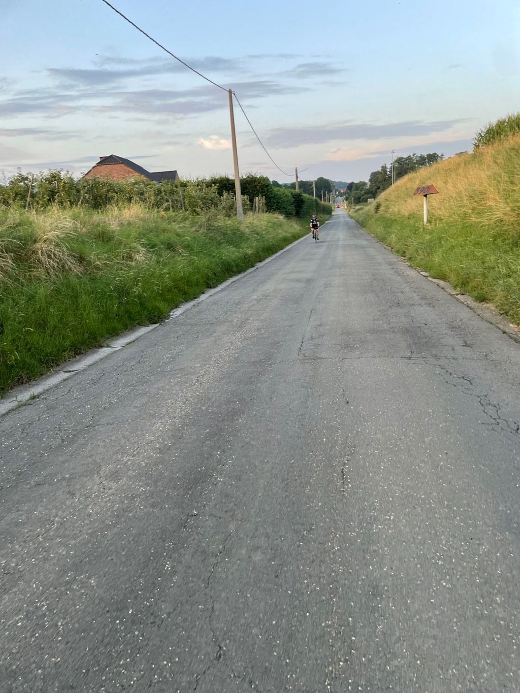
Moelingerweg from Moelingen is a climb in the region Voer-Region. It is 1.1 km long and bridges 30 m of vertical ascent with an average gradient of 2.7%, resulting in a difficulty score of 9. The top of the ascent is located at 94 m above sea level. Climbfinder users shared 5 reviews of this climb and uploaded 8 photos.
Road names: Voerengraaf & Moelingerweg
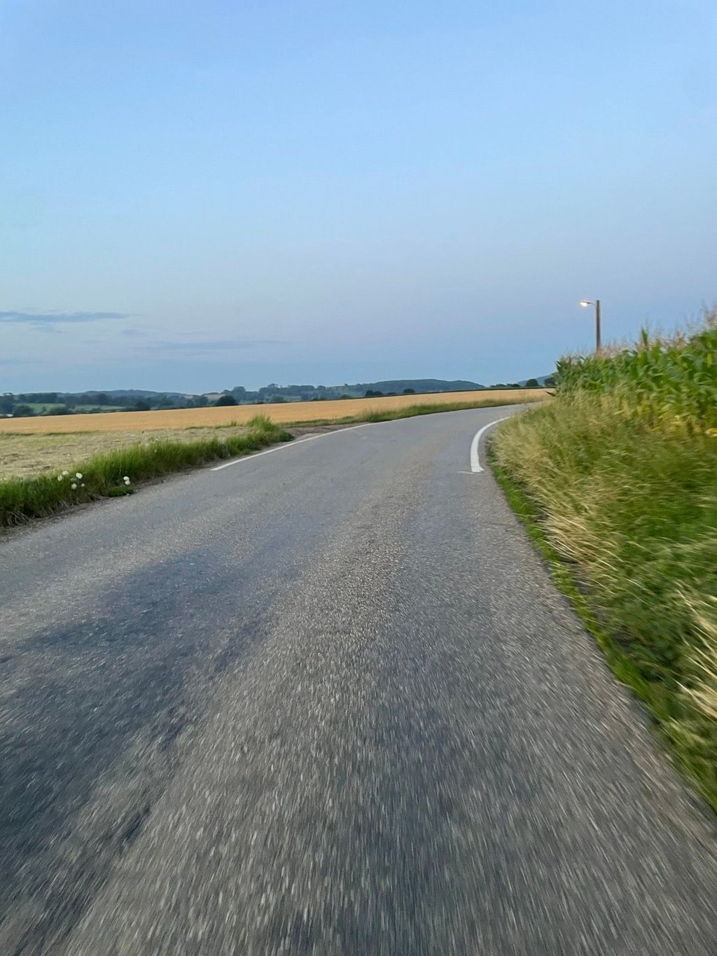
3.0 by PiekpionierThis is an automatic translation, the original language is: Dutch.Light and gradually flattening climb through open countryside with nice views, especially suitable as a quiet link road without being really challenging.... read more

Welcome! Please activate your account if you would like to share something. Look for the verification email in your inbox.
If you want to upload your photos, you need to create an account. It only takes 1 minute and it's completely free.
Light and gradually flattening climb through open countryside with nice views, especially suitable as a quiet link road without being really challenging.
Lichte en geleidelijk afvlakkende klim door open landschap met mooie uitzichten, vooral geschikt als rustige verbindingsweg zonder echt uitdagend te zijn.
Easy and well-run climb on the road from Moelingen to 's-Gravenvoeren. Just before the summit, you will pass border post 34, putting you at one of the southernmost points in the Netherlands.
Gemakkelijke en goed lopende klim op de weg van Moelingen naar 's-Gravenvoeren. Vlak voor de top kom je langs grenspaal 34 en daarmee ben je op één van de zuidelijkste punten van Nederland.
Nice views, but the road is slightly narrow with some traffic. That said, it is still a useful link road.
Belles vues, mais la route est légèrement étroite avec un certain trafic. Cela étant, cela reste une route de liaison utile.
Very light climb in agricultural area. In the beginning you feel the road still climb but that becomes gradually less. The top is somewhat difficult to determine but on the other hand you see a clear descent and nice view into the valley. Also towards the Maas valley nice view. In terms of climb not much but a quiet and beautifully situated connecting road along the Dutch border.
Zeer lichte klim in agrarisch gebied. In het begin voel je de weg nog wel klimmen maar dat wordt langzamerhand steeds minder. De top is enerzijds wat moeilijk te bepalen maar aan de andere kant zie je wel een duidelijke afdaling en aardig uitzicht het dal in bovendien. Ook richting het Maasdal aardig uitzicht. Qua klim niet veel maar wel een rustige en mooi gelegen verbindingsweg langs de Nederlandse grens.
| 7 km/h | 00:09:32 |
| 11 km/h | 00:06:04 |
| 15 km/h | 00:04:27 |
| 19 km/h | 00:03:30 |
This page is better in the app