| 11 hairpin turns |
| Gravel |
| #51 toughest climb of Italy |
| #40 most elevation gain of Trentino-South Tyrol |
| #96 longest climb of Trentino-South Tyrol |
| #66 average steepest climb of Trento |
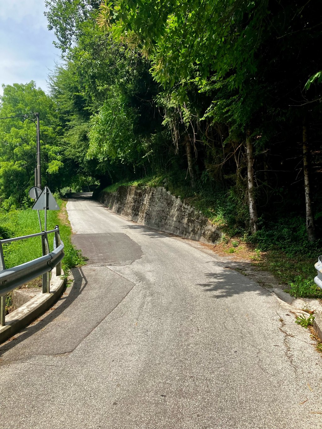
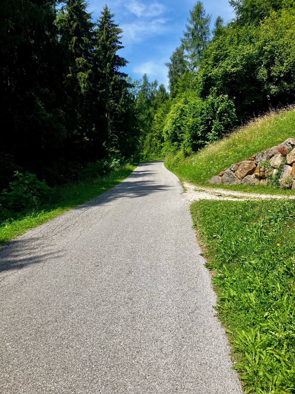
Malga Casapinello from Marter is a climb in the region Trento. It is 14.7 km long and bridges 1297 m of vertical ascent with an average gradient of 8.8%, resulting in a difficulty score of 1455. The top of the ascent is located at 1704 m above sea level. Climbfinder users shared 1 review/story of this climb and uploaded 2 photos.
Road names: SP65, Viale Roma, Via Panoramica & Strada panoramica della Valsugana
4.0 by GuertelMichelThis is an automatic translation, the original language is: German.A very quiet stretch of road with more tractors than cars 😉 very challenging... read more
Welcome! Please activate your account if you would like to share something. Look for the verification email in your inbox.
If you want to upload your photos, you need to create an account. It only takes 1 minute and it's completely free.
A very quiet stretch of road with more tractors than cars 😉 very challenging
Sehr ruhige Strecke mit mehr Traktoren als Autos 😉 sehr anspruchsvoll
| 7 km/h | 02:05:43 |
| 11 km/h | 01:20:00 |
| 15 km/h | 00:58:40 |
| 19 km/h | 00:46:19 |
This page is better in the app