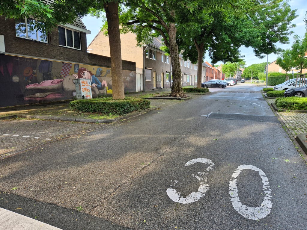
Madoerastraat via Anjelierenstraat is a climb in the region South Limburg. It is 0.7 km long and bridges 16 m of vertical ascent with an average gradient of 2.2%, resulting in a difficulty score of 5. The top of the ascent is located at 83 m above sea level. Climbfinder users shared 2 reviews of this climb and uploaded 11 photos.
Road names: Anjelierenstraat & Madoerastraat
2.0 by JarinThis is an automatic translation, the original language is: Dutch.Climb parallel to the better-known Tongerseweg through the Mariaberg district. Although quieter in terms of traffic, it is not a nice climb because of the many speed bumps. So next time I'd rather go via Tongerseweg again.... read more

Welcome! Please activate your account if you would like to share something. Look for the verification email in your inbox.
If you want to upload your photos, you need to create an account. It only takes 1 minute and it's completely free.
Climb parallel to the better-known Tongerseweg through the Mariaberg district. Although quieter in terms of traffic, it is not a nice climb because of the many speed bumps. So next time I'd rather go via Tongerseweg again.
Klim parallel aan de bekendere Tongerseweg door de wijk Mariaberg.. Hoewel rustiger qua verkeer is het geen fijne klim door de vele verkeersdrempels. Volgende keer dus toch maar liever weer via de Tongerseweg.
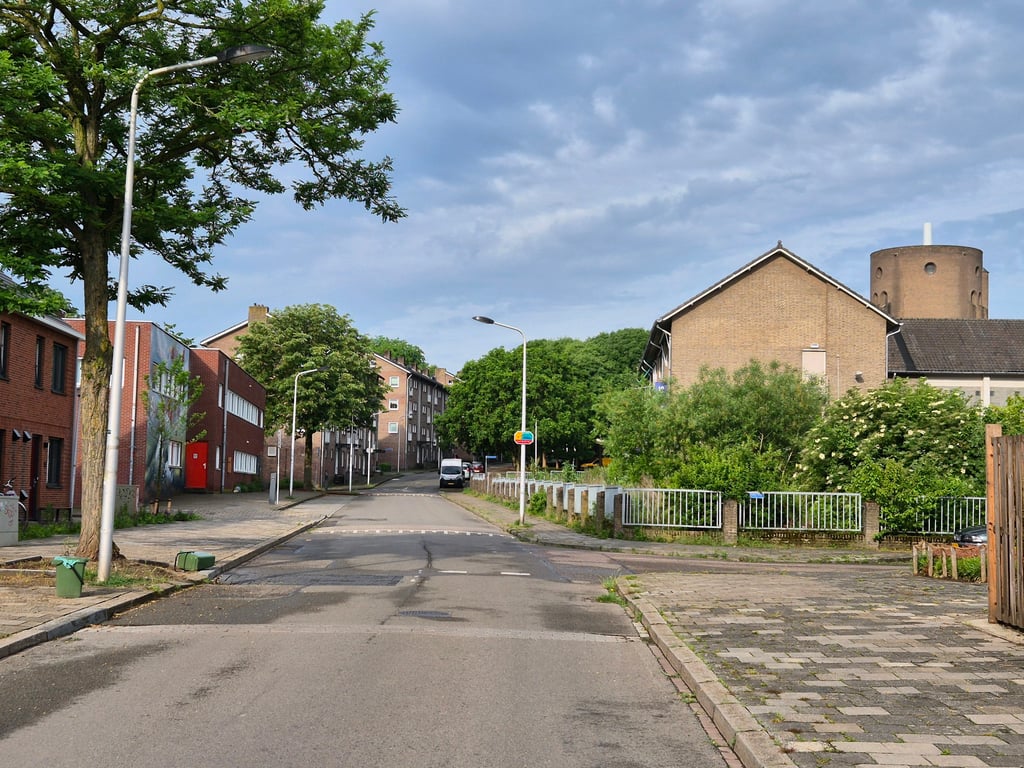
A small climb through the built-up area - but also with quite a bit of greenery. Halfway up the steepest (relatively then) where you have the church on the right and clear relief is shown. Good tarmac but with some speed bumps.
Een kleine klim door de bebouwde kom - maar ook met flink wat groen. Halverwege het steilste (relatief dan) waarbij je rechts de kerk hebt en er duidelijk reliëf getoond wordt. Goed asfalt maar wel met wat drempels.
| 7 km/h | 00:06:21 |
| 11 km/h | 00:04:02 |
| 15 km/h | 00:02:58 |
| 19 km/h | 00:02:20 |
This page is better in the app