View on map
© MapLibre | OpenStreetMap contributors
1%
2%
4%
6%
8%
10%
12%
15%
20%

Maacher via Frummeschgaass

4.0
1 review/story | Elevation profile | 8 photos
Tips nearby
Maacher via Frummeschgaass
Your achievable time
Calculating based on your best performances...
Relaxed
Maximum
W/kg
W/kg
W/kg
Analyse your climbing performance
Detailed insight into your climbing performance & automatically check off climbs
Based on your best performances.
Your best attempt:
Number of attempts:
Elevation profile Maacher via Frummeschgaass

Statistics

Difficulty points 100
Length 0.9 km
Average gradient 10.2%
Steepest 100 metres 14%
Total ascent 93 m

Short recap

#63 toughest climb of Nature Park Our
#72 average steepest climb of Ardennes
Feedback about this climb?
Show climbs nearby Export to GPS device

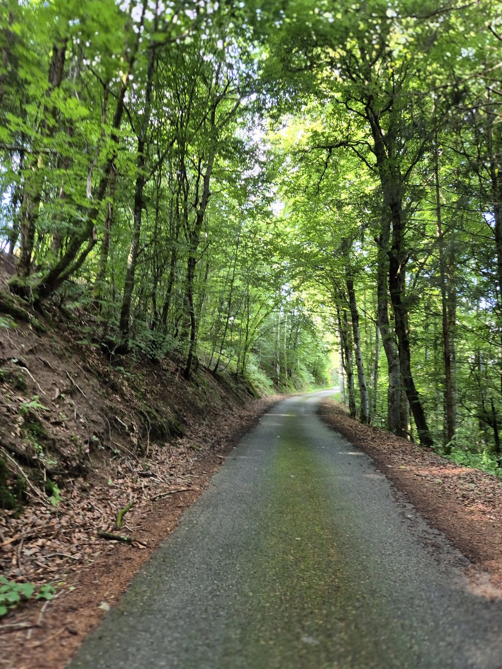
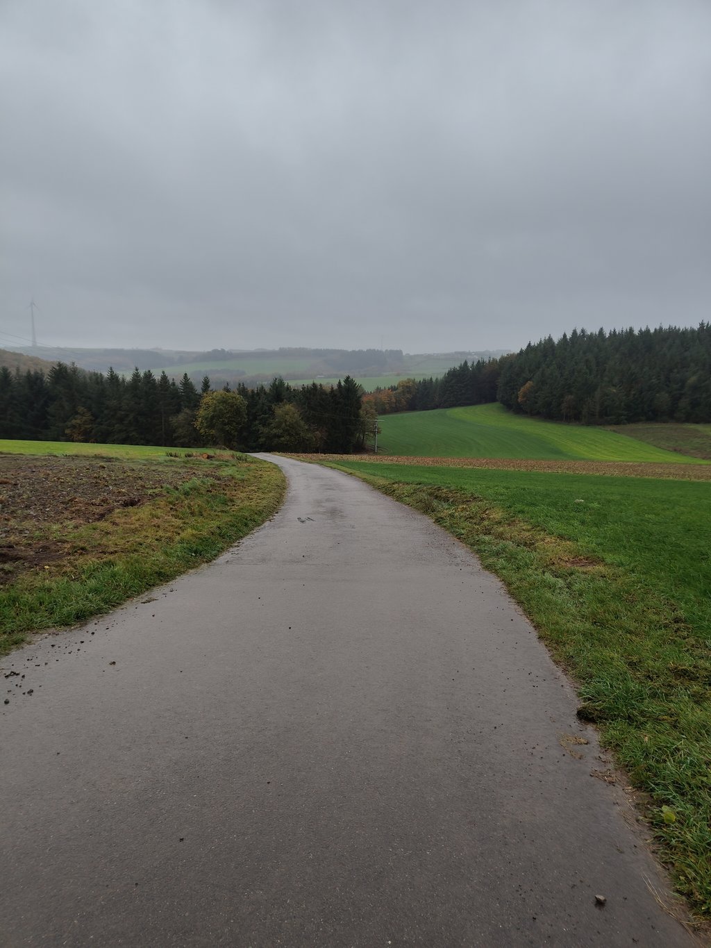
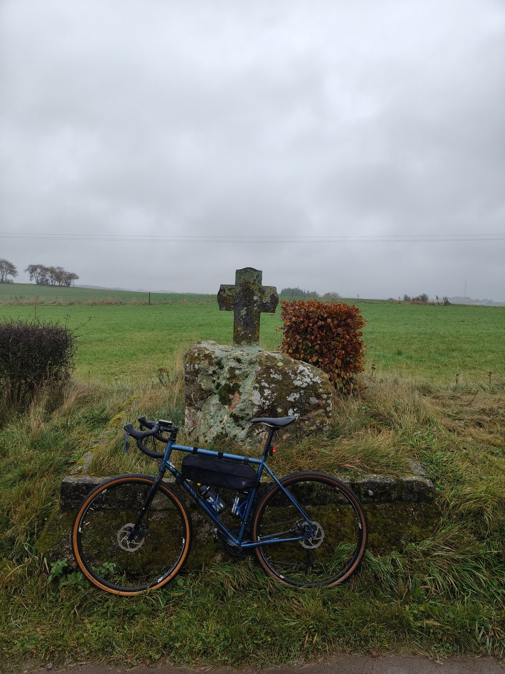
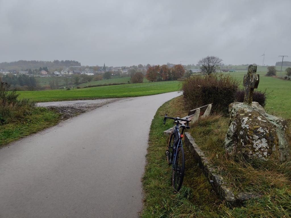
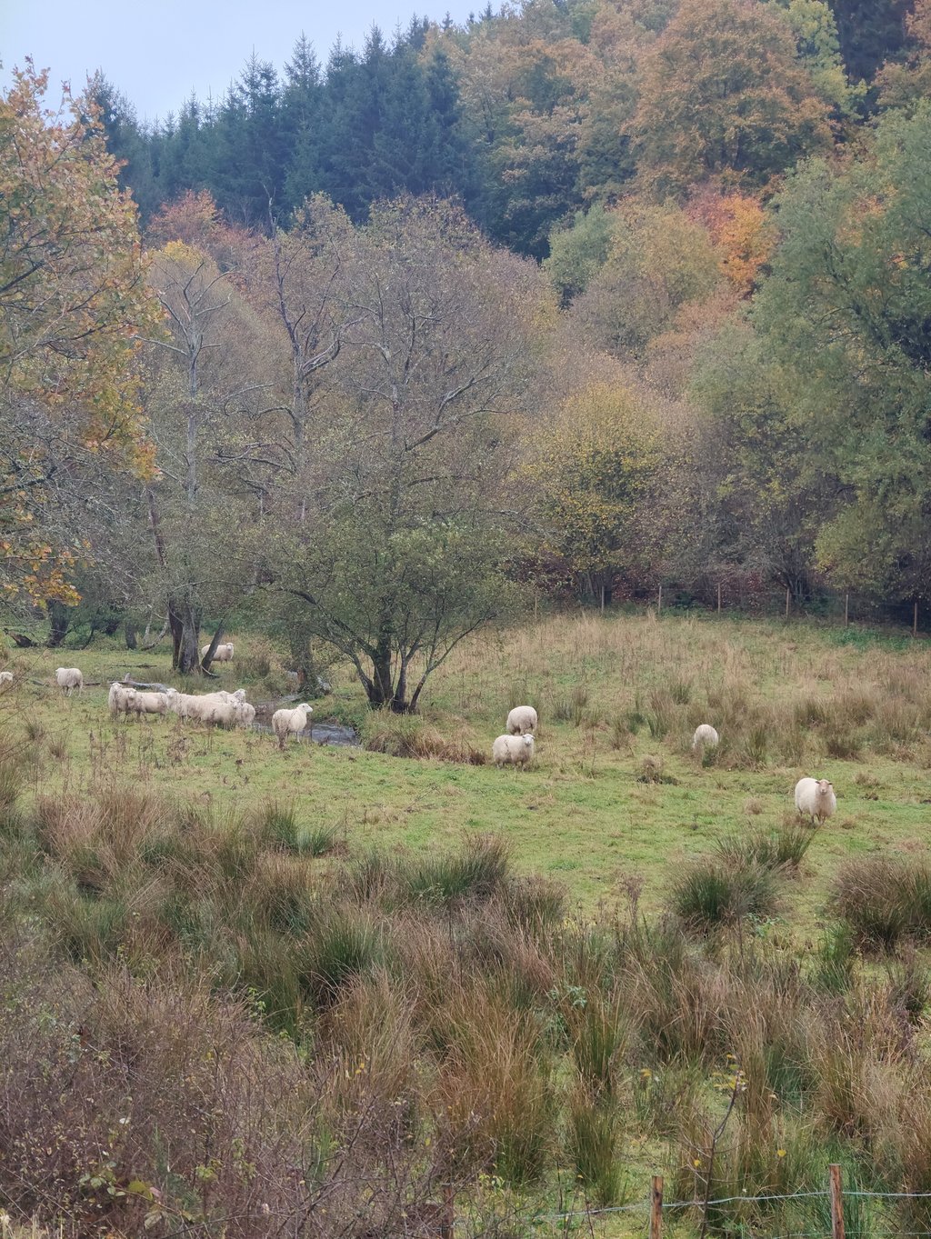
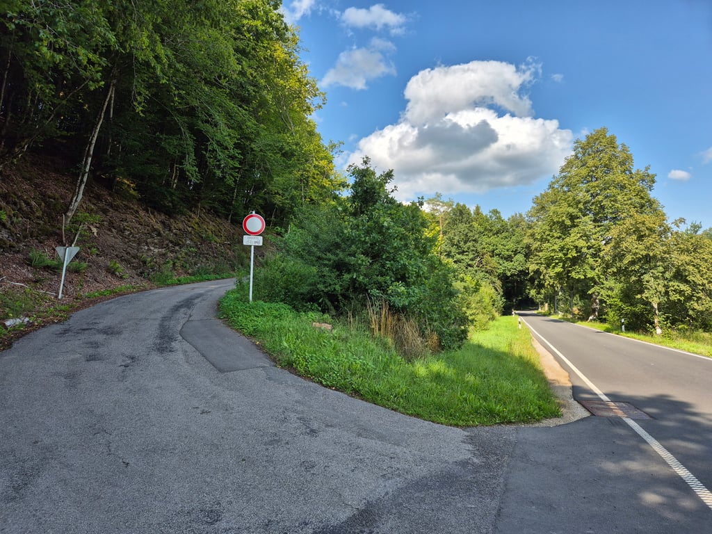
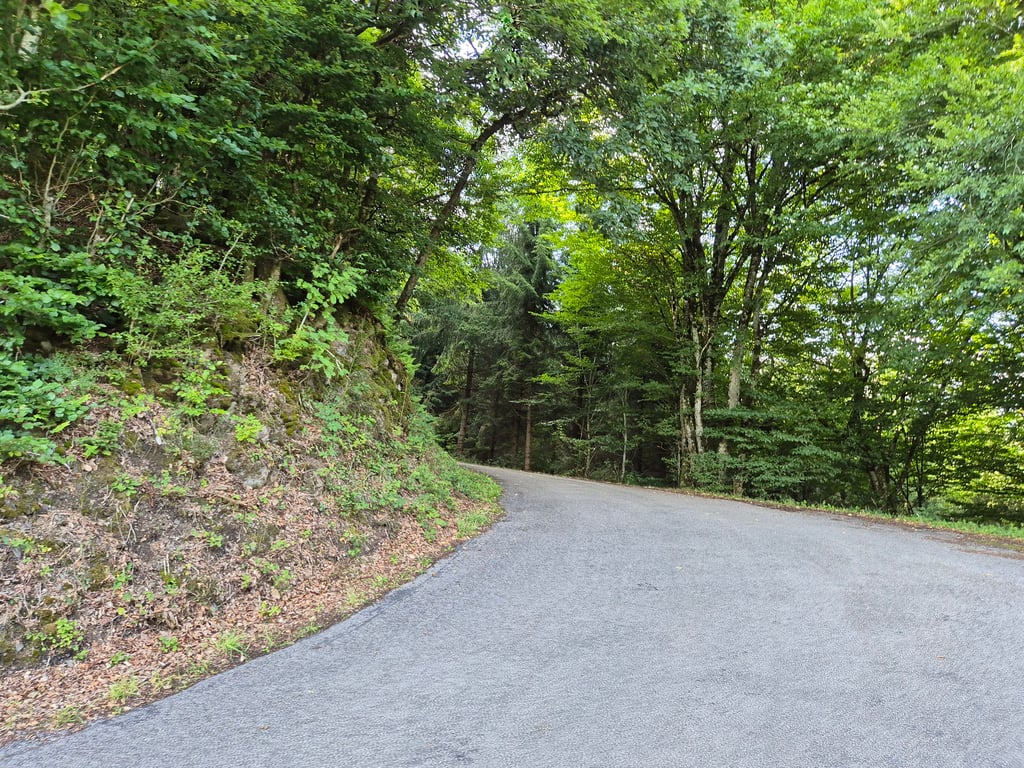
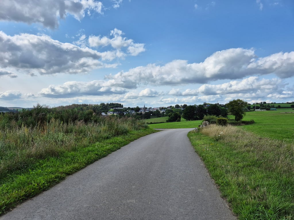
Maacher via Frummeschgaass is a climb in the region Nature Park Our. It is 0.9 km long and bridges 93 m of vertical ascent with an average gradient of 10.2%, resulting in a difficulty score of 100. The top of the ascent is located at 457 m above sea level. Climbfinder users shared 1 review/story of this climb and uploaded 8 photos.

Road name: Frummeschgaass

4.0 by Jarin
This is an automatic translation, the original language is: Dutch.
Nice steep climb through the forest. For me, one of the most beautiful climbs in the area, also because it is basically car-free. The climb starts immediately with steep gradients and continues for a long time. Just as the percentages go down just a bit as you leave the forest, you are treated to a steep bouncer to the top. From the top, you have a nice view of the village of Munshausen. A true hidden gem!!!... read more

Photos (8)

Maacher via Frummeschgaass
transparant thumb
transparant thumb
transparant thumb
transparant thumb

Your uploads (max 4)

Welcome! Please activate your account if you would like to share something. Look for the verification email in your inbox.

If you want to upload your photos, you need to create an account. It only takes 1 minute and it's completely free.

  • Receive free climbfinder goodies for your reviews & photos.
  • Create a bucket list and check off conquered climbs.
  • Add missing climbs.
Continue with GoogleContinue with Google Continue with FacebookContinue with Facebook Continue with AppleContinue with Apple Sign up with email
By signing up you agree to our terms of service and confirm that you have read our privacy & content policy.

Reviews (1)

5.0
4.0
3.0
2.0
1.0
Jarin
10 Mo 4.0 via the Climbfinder app
This is an automatic translation, the original language is: Dutch. Show original

Nice steep climb through the forest. For me, one of the most beautiful climbs in the area, also because it is basically car-free. The climb starts immediately with steep gradients and continues for a long time. Just as the percentages go down just a bit as you leave the forest, you are treated to a steep bouncer to the top. From the top, you have a nice view of the village of Munshausen. A true hidden gem!!!

Mooie stevige steile klim door het bos. Wat mij betreft een van de mooiste beklimmingen in de omgeving, ook omdat ie in principe autovrij is De klim begint direct met stevige stijgingspercentages en trekt lang door. Net als de percentages net een beetje omlaag gaan bij het verlaten van het bos wordt je nog even getrakteerd op een steile uitsmijter tot de top. Vanaf de top heb je een mooi uitzicht op het dorpje Munshausen. Een waar verborgen juweeltje!!

Dashboard

Climbing times

7 km/h 00:07:48
11 km/h 00:04:58
15 km/h 00:03:38
19 km/h 00:02:52

Road surface condition

0% 0% 0%
Based on 0 votes
Share your knowledge. What was the road condition during your ascent?

Traffic

0% 0% 0%
Based on 0 votes
Your experience counts. How much traffic did you encounter during the climb?

Frequently Asked Questions

You don't need special gearing for Maacher via Frummeschgaass. The slope isn't long or steep enough to require much shifting down. You can conquer this climb on power alone. However, a compact gearing system with a smallest front chainring of 34 and largest rear sprocket of 28 or 30 is always nice if you enjoy cycling uphill. This helps maintain a smooth cadence.

Maacher via Frummeschgaass is a 4th-category climb. A sprint to the top is usually not an option, and untrained riders will definitely feel it in their legs. For trained cyclists, it is a great training climb.

Maacher via Frummeschgaass is 0.9 km long.

The average gradient of Maacher via Frummeschgaass is 10.2%.

Maacher via Frummeschgaass has a steepest segment with an average gradient of 14%.

The summit of Maacher via Frummeschgaass is at 457 m.

At a slow pace of 7 km/h, it takes about 00:07:48 to climb Maacher via Frummeschgaass. At 11 km/h the time is 00:04:58, and at 15 km/h 00:03:38. For the fastest cyclists, 00:02:52 is an achievable time.

Maacher via Frummeschgaass is located in the region Nature Park Our in Luxembourg.

This page is better in the app

Climbfinder app
Climbfinder
(Free)
Open