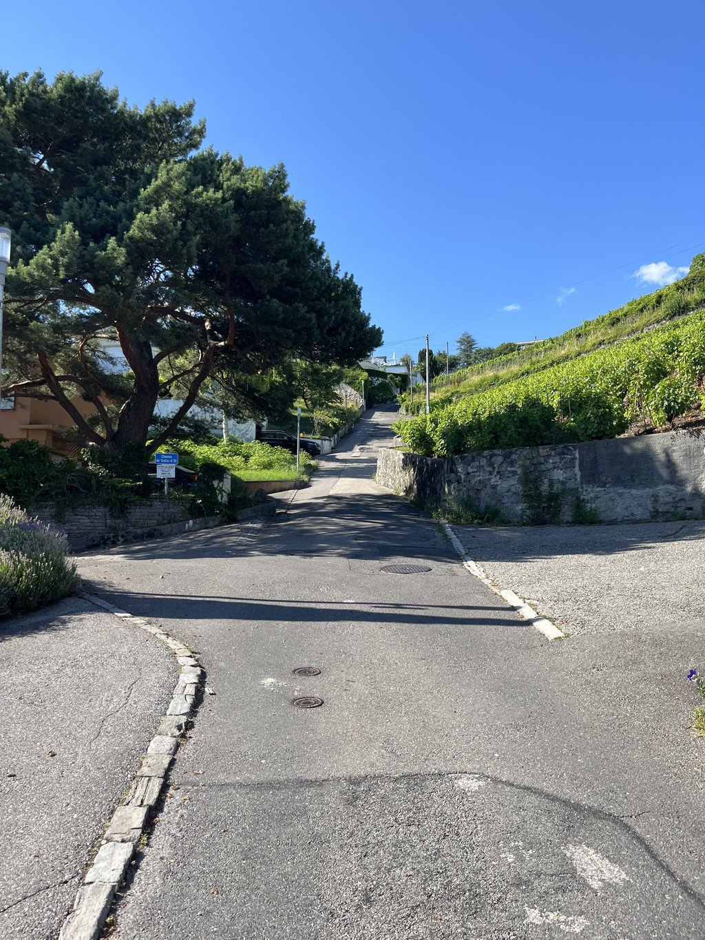
Savigny from Lutry is a climb in the region Vaud. It is 5.6 km long and bridges 396 m of vertical ascent with an average gradient of 7%, resulting in a difficulty score of 460. The top of the ascent is located at 771 m above sea level. Climbfinder users shared 2 reviews of this climb and uploaded 5 photos.
Road names: Route de Savuit, Rue du Village, Route de la Croix, Route de Savigny & Route de Lutry
2.0 by ZachWProperly difficult first three kms. A little too long to grit your teeth and bear down, a little too steep to get into any kind of rythme. Still feasible without touching down but not what I would call an enjoyable experience. Road is also quite narrow and busy in places with no bike lane, making it a bit hazardous. In all, there much more scenic, safe, and enjoyable climbs (both of the long winding and short punchy variety) in the area which allow for a better experience.... read more
Welcome! Please activate your account if you would like to share something. Look for the verification email in your inbox.
If you want to upload your photos, you need to create an account. It only takes 1 minute and it's completely free.
Know what you are getting into. The first part is really tough. At the end, it finally flattens out.
Weet waar je aan begint. Het eerste gedeelte is echt heel zwaar. Aan het einde vlakt het eindelijk eens af.
Properly difficult first three kms. A little too long to grit your teeth and bear down, a little too steep to get into any kind of rythme. Still feasible without touching down but not what I would call an enjoyable experience. Road is also quite narrow and busy in places with no bike lane, making it a bit hazardous. In all, there much more scenic, safe, and enjoyable climbs (both of the long winding and short punchy variety) in the area which allow for a better experience.
| 7 km/h | 00:48:09 |
| 11 km/h | 00:30:38 |
| 15 km/h | 00:22:28 |
| 19 km/h | 00:17:44 |
This page is better in the app