View on map
© MapLibre | OpenStreetMap contributors
1%
2%
4%
6%
8%
10%
12%
15%
20%

Le Tour

3.0
3 reviews | Elevation profile | 6 photos
Tips nearby
Le Tour
Le Tour
Le Tour
Le Tour
Le Tour
Le Tour
transparant thumb
transparant thumb
Your achievable time
Calculating based on your best performances...
Relaxed
Maximum
W/kg
W/kg
W/kg
Analyse your climbing performance
Detailed insight into your climbing performance & automatically check off climbs
Based on your best performances.
Your best attempt:
Number of attempts:
Elevation profile Le Tour

Statistics

Difficulty points 93
Length 1.6 km
Average gradient 7.4%
Steepest 100 metres 13.4%
Total ascent 121 m
Feedback about this climb?
Show climbs nearby Export to GPS device

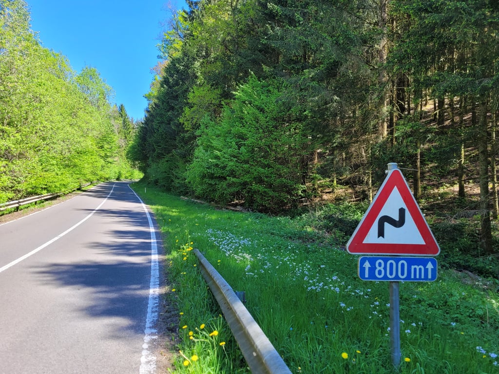
Le Tour is a climb in the region Semois Valley. It is 1.6 km long and bridges 121 m of vertical ascent with an average gradient of 7.4%, resulting in a difficulty score of 93. The top of the ascent is located at 393 m above sea level. Climbfinder users shared 3 reviews of this climb and uploaded 6 photos.

Road names: N866 & Voie du Terme
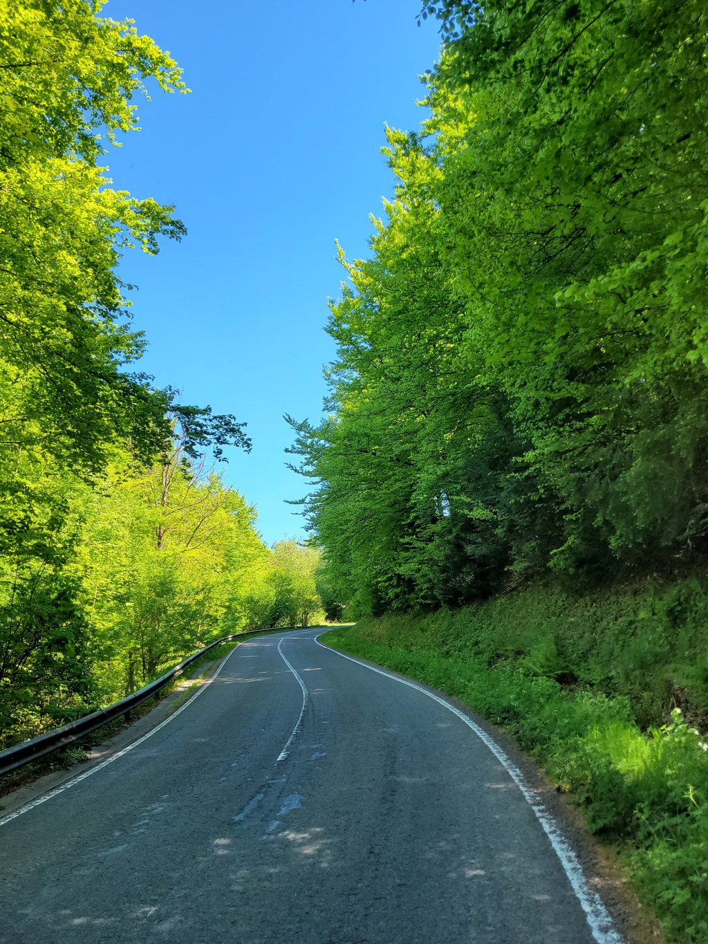
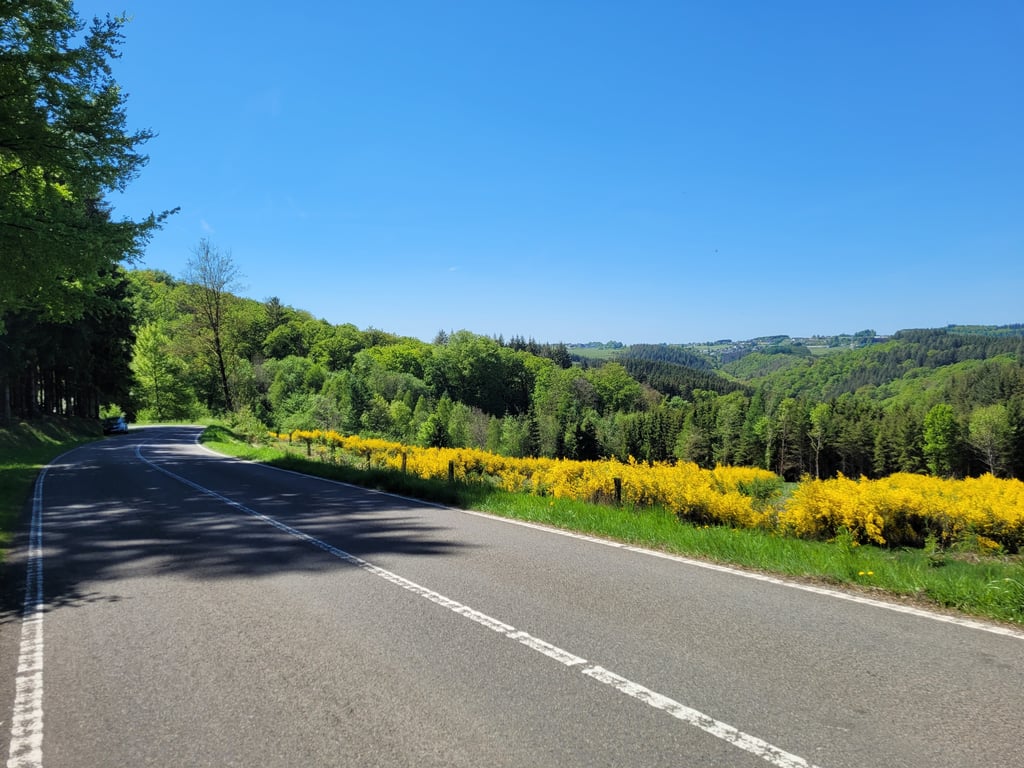
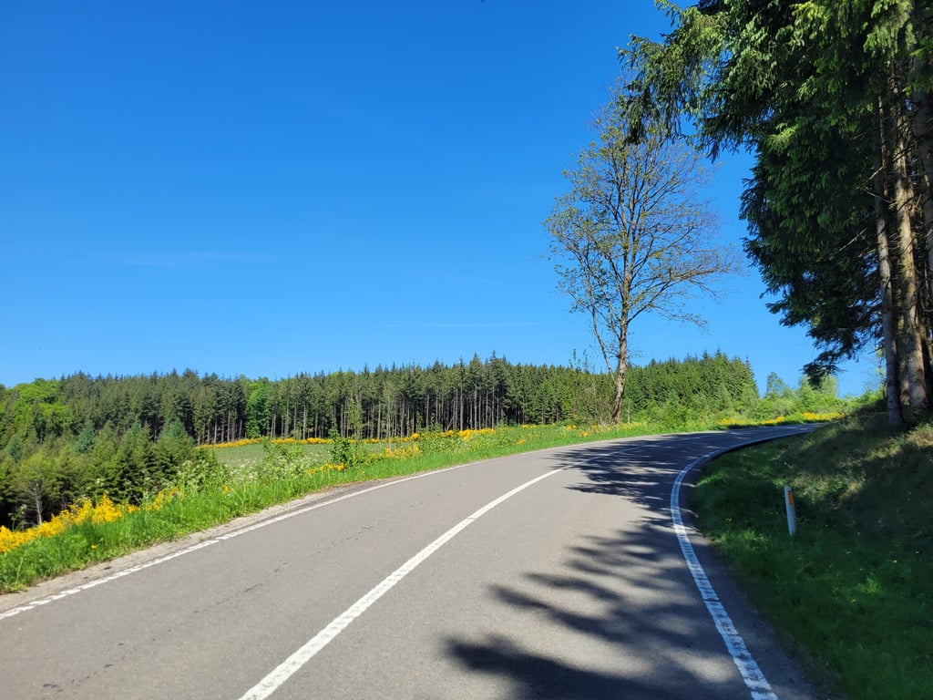
3.0 by Jarin
This is an automatic translation, the original language is: Dutch.
A climb that really does hurt after several other climbs in the legs and ia spicier than it looks. The first part through the forest is twisty but the views are minimal so your gaze is mainly on the road; as soon as you leave the fox, however, the view gets better and you can see Noirefontaine over your left shoulder. Good road surface and not many cars's encountered, though some screeching motor traffic, presumably because of the cornering.... read more

Photos (6)

Le Tour
Le Tour
Le Tour
Le Tour
Le Tour
Le Tour

Your uploads (max 4)

Welcome! Please activate your account if you would like to share something. Look for the verification email in your inbox.

If you want to upload your photos, you need to create an account. It only takes 1 minute and it's completely free.

  • Receive free climbfinder goodies for your reviews & photos.
  • Create a bucket list and check off conquered climbs.
  • Add missing climbs.
Continue with GoogleContinue with Google Continue with FacebookContinue with Facebook Continue with AppleContinue with Apple Sign up with email
By signing up you agree to our terms of service and confirm that you have read our privacy & content policy.

Reviews (3)

5.0
4.0
3.0
2.0
1.0
Jarin
1 y 3.0 via the Climbfinder app
This is an automatic translation, the original language is: Dutch. Show original

A climb that really does hurt after several other climbs in the legs and ia spicier than it looks. The first part through the forest is twisty but the views are minimal so your gaze is mainly on the road; as soon as you leave the fox, however, the view gets better and you can see Noirefontaine over your left shoulder. Good road surface and not many cars's encountered, though some screeching motor traffic, presumably because of the cornering.

Een klim die na een aantal andere klimmen in de benen echt wel zeer doet en pittiger ia dan ie lijkt. Het eerste deel door het bos is bochtig maar het uitzicht is miniem dus je blik is vooral op de weg; zodra je het vos verlaat wordt het uitzicht echter mooier en kun je over je linkerschouder Noirefontaine zien liggen. Goed wegdek en niet veel auto's tegengekomen, wel wat gierend motorverkeer, vermoedelijke vanwege het bochtenwerk.

Le Tour
Le Tour
Le Tour
Le Tour
Dashboard
Maikel1989
1 y 3.0
This is an automatic translation, the original language is: Dutch. Show original

Wide road with good tarmac. Not super steep but it gets tricky at the end.

Brede weg met goed asfalt. Niet super steil maar op het einde wordt het toch lastig.

Dashboard
Tjaart
1 y 3.0
This is an automatic translation, the original language is: Dutch. Show original

Wide traffic road with good tarmac and a steady climb through the forest. No particular climb. Bit steeper at the shortcut to the N816 at the end.

Brede verkeersweg met goed asfalt en een gelijkmatige klim door het bos. Geen bijzondere klim. Bij de shortcut naar de N816 op het laatst nog even wat steiler.

Le Tour
Le Tour
Dashboard

Climbing times

7 km/h 00:13:57
11 km/h 00:08:53
15 km/h 00:06:30
19 km/h 00:05:08

Road surface condition

100% 0% 0%
Based on 1 vote
Share your knowledge. What was the road condition during your ascent?

Traffic

0% 100% 0%
Based on 1 vote
Your experience counts. How much traffic did you encounter during the climb?

Frequently Asked Questions

You don't need special gearing for Le Tour. The slope isn't long or steep enough to require much shifting down. You can conquer this climb on power alone. However, a compact gearing system with a smallest front chainring of 34 and largest rear sprocket of 28 or 30 is always nice if you enjoy cycling uphill. This helps maintain a smooth cadence.

Le Tour is a 4th-category climb. A sprint to the top is usually not an option, and untrained riders will definitely feel it in their legs. For trained cyclists, it is a great training climb.

Le Tour is 1.6 km long.

The average gradient of Le Tour is 7.4%.

Le Tour has a steepest segment with an average gradient of 13.4%.

The summit of Le Tour is at 393 m.

At a slow pace of 7 km/h, it takes about 00:13:57 to climb Le Tour. At 11 km/h the time is 00:08:53, and at 15 km/h 00:06:30. For the fastest cyclists, 00:05:08 is an achievable time.

Le Tour is located in the region Semois Valley in Belgium.

This page is better in the app

Climbfinder app
Climbfinder
(Free)
Open